

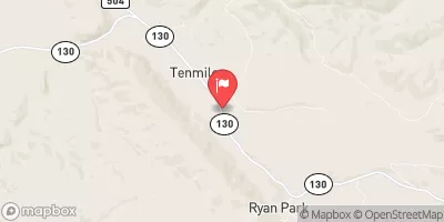
South Brush Creek Near Saratoga, Wyo. Realtime Data
SOUTH BRUSH CREEK NEAR SARATOGA, WYO.
Realtime Data • Report • Conditions
18
Discharge (cfs)
2.7
Gauge Height (ft)
Streamflow discharge was last observed at 18 cfs, and a gauge height of 2.66 feet.
With the
% decrease since yesterday,
the streamflow average over the past 10 days is 25 .
Weather today, Tomorrow,
The primary sources of flow providers and constituents include snowmelt, rainfall, and groundwater discharge. The stream is heavily influenced by the Sierra Madre Mountain Range and its tributaries, including Brush Creek and Rock Creek. The seasonal trends show an increase in flow during spring and early summer due to snowmelt and a decrease in flow during fall and winter. There are no significant dams on the South Brush Creek, but the area is known for its hot springs and geothermal activity. The hydrology of this area provides unique opportunities for outdoor recreation, including fishing, hunting, and hiking.
October 22, 2026
| Elevation | 8,100.0 ft |
| Last Updated | |
| Gage height, feet | 2.66 ft |
| Streamflow, ft3/s | 17.6 ft3/s |
| Percent of Normal | 15% |
| Year Over Year Average | 124 cfs |
| 24hr Flow Prediction | cfs |
| Maximum Recorded | 1,230 cfs |
| Geolocation | 41.34, -106.53 |
 Continue with Snoflo Premium