

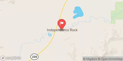
Sweetwater River Near Alcova, Wy Realtime Data
SWEETWATER RIVER NEAR ALCOVA, WY
Realtime Data • Report • Conditions
27
Discharge (cfs)
1.8
Gauge Height (ft)
USGS 06639000
Streamflow discharge was last observed at 27 cfs, and a gauge height of 1.77 feet.
With the
% decrease since yesterday,
the streamflow average over the past 10 days is 36 .
Weather today, Tomorrow,
It is not affected by any specific tributaries or dams. The river exhibits seasonal trends with peak flow occurring during the spring and early summer months due to snowmelt. Interestingly, the Sweetwater River is known for its unique geology, as it flows through the famous Sweetwater Rocks and has carved out deep canyons in the area. Additionally, the river was used as a major water source for the historic Oregon Trail, and remnants of wagon ruts can still be seen along its banks.
October 9, 2026
| Elevation | 5,889.0 ft |
| Last Updated | |
| Gage height, feet | 1.77 ft |
| Streamflow, ft3/s | 27.1 ft3/s |
| Percent of Normal | 25% |
| Year Over Year Average | 111 cfs |
| 24hr Flow Prediction | cfs |
| Maximum Recorded | 4,290 cfs |
 Continue with Snoflo Premium