
Special Weather Statement
None
None
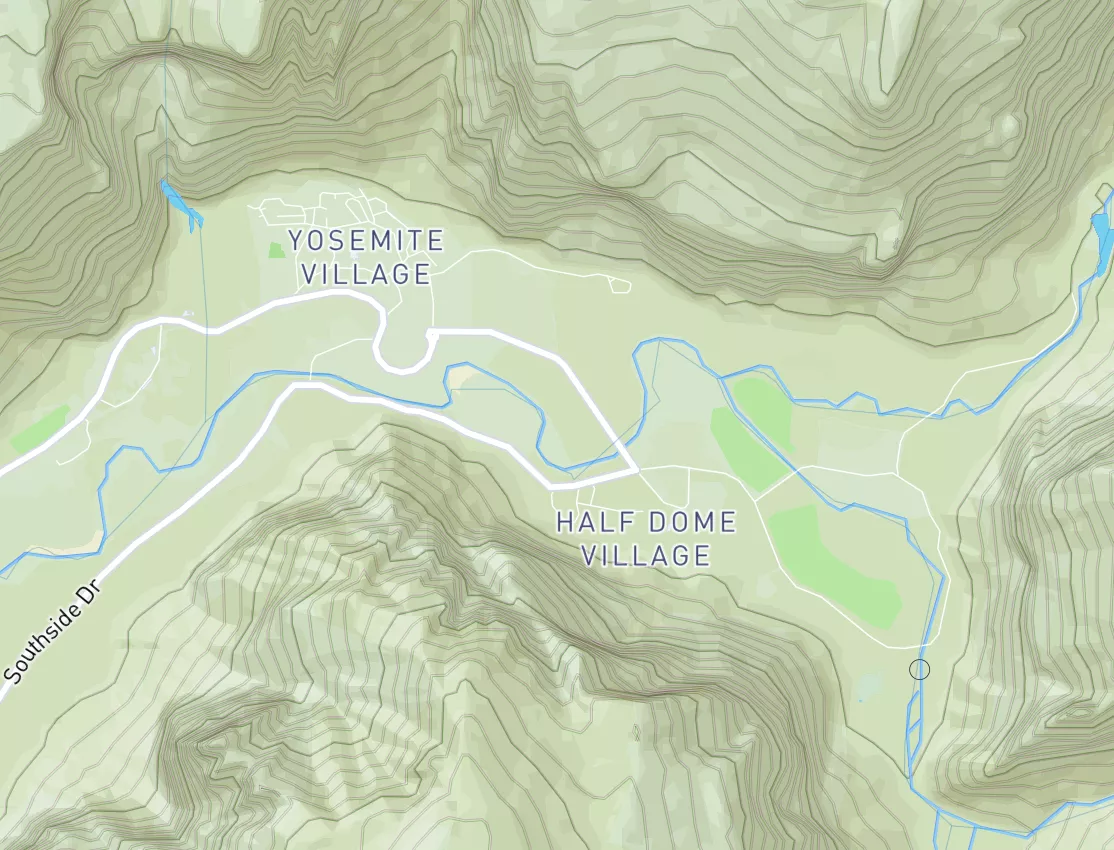
A combination of light winds, clearing skies, cold temperatures, and moisture sources from local river valleys may support patchy fog and freezing fog overnight through early Tuesday morning. Visibility may drop rapidly to under a mile, and locally to a quarter mile or less, particularly in prone river valleys and low lying areas. In addition, sub-freezing temperatures could allow for light rime icing or slick spots to form on untreated roads, bridges, and elevated surface. Use caution if traveling late tonight and Tuesday morning.
 Continue with Snoflo Premium