


Ms06551 Lake Dam Reservoir Report
Last Updated: April 24, 2026
Nearby: Ms06550 Lake Dam D R Stallworth Dam
°F
°F
mph
Wind
%
Humidity
Ms06551 Lake Dam, located in Greene, Mississippi, is a privately owned structure regulated by the Mississippi Department of Environmental Quality.
Summary
The dam, primarily used for recreation, is classified as an Earth dam with a height of 25 feet and a storage capacity of 136 acre-feet. With a surface area of 10.2 acres, the dam serves as a popular spot for outdoor enthusiasts seeking leisure activities such as boating and fishing.
Although the hazard potential of the dam is undetermined and its condition is not rated, a moderate risk assessment has been assigned to it. The dam features an uncontrolled spillway and has not been modified in recent years. While the emergency action plan status and risk management measures are not specified, the dam's risk level is considered moderate. Its location, in close proximity to the Mobile District, adds to its significance within the water resource and climate conservation community.
Overall, Ms06551 Lake Dam presents an intriguing case study for water resource and climate enthusiasts. Its regulatory framework, recreational purpose, and risk assessment raise important considerations for the management and maintenance of similar structures in the region. As a privately owned facility with state oversight, the dam serves as a focal point for understanding the intersection of human activities, environmental regulations, and natural resource preservation in the context of water infrastructure.
Regional Streamflow Levels
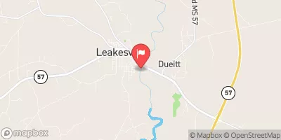 Chickasawhay River At Leakesville
|
609cfs |
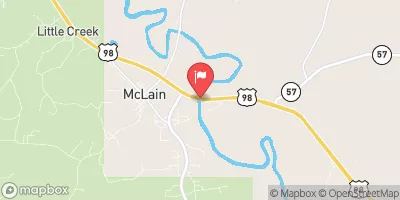 Leaf River Nr Mclain
|
971cfs |
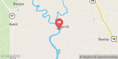 Pascagoula River At Merrill
|
1820cfs |
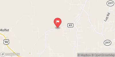 Big Creek At County Rd 63 Near Wilmer
|
12cfs |
 Chickasawhay River Nr Waynesboro
|
402cfs |
 Escatawpa River Near Agricola Ms
|
420cfs |
15-Day Long Term Forecast
Dam Height |
25 |
Surface Area |
10.2 |
Nid Storage |
136 |
Hazard Potential |
Undetermined |
Nid Height |
25 |
Seasonal Comparison
5-Day Hourly Forecast Detail
Dam Data Reference
Condition Assessment
SatisfactoryNo existing or potential dam safety deficiencies are recognized. Acceptable performance is expected under all loading conditions (static, hydrologic, seismic) in accordance with the minimum applicable state or federal regulatory criteria or tolerable risk guidelines.
Fair
No existing dam safety deficiencies are recognized for normal operating conditions. Rare or extreme hydrologic and/or seismic events may result in a dam safety deficiency. Risk may be in the range to take further action. Note: Rare or extreme event is defined by the regulatory agency based on their minimum
Poor A dam safety deficiency is recognized for normal operating conditions which may realistically occur. Remedial action is necessary. POOR may also be used when uncertainties exist as to critical analysis parameters which identify a potential dam safety deficiency. Investigations and studies are necessary.
Unsatisfactory
A dam safety deficiency is recognized that requires immediate or emergency remedial action for problem resolution.
Not Rated
The dam has not been inspected, is not under state or federal jurisdiction, or has been inspected but, for whatever reason, has not been rated.
Not Available
Dams for which the condition assessment is restricted to approved government users.
Hazard Potential Classification
HighDams assigned the high hazard potential classification are those where failure or mis-operation will probably cause loss of human life.
Significant
Dams assigned the significant hazard potential classification are those dams where failure or mis-operation results in no probable loss of human life but can cause economic loss, environment damage, disruption of lifeline facilities, or impact other concerns. Significant hazard potential classification dams are often located in predominantly rural or agricultural areas but could be in areas with population and significant infrastructure.
Low
Dams assigned the low hazard potential classification are those where failure or mis-operation results in no probable loss of human life and low economic and/or environmental losses. Losses are principally limited to the owner's property.
Undetermined
Dams for which a downstream hazard potential has not been designated or is not provided.
Not Available
Dams for which the downstream hazard potential is restricted to approved government users.
 Begins Approximately 2 River Miles Downstream From The Yellowhouse Branch Confluence With The Escatawpa River Near The Town Of Deer Park, Alabama
To Ends Approximately 1 River Mile Upstream From The U.S. Highway 98 Bridge
Begins Approximately 2 River Miles Downstream From The Yellowhouse Branch Confluence With The Escatawpa River Near The Town Of Deer Park, Alabama
To Ends Approximately 1 River Mile Upstream From The U.S. Highway 98 Bridge