
Nomland Dam Reservoir Report
Last Updated: December 5, 2025
Nomland Dam, located in McCone County, Montana, was completed in 1964 by the USDA NRCS and serves multiple purposes including fire protection, stock watering, and creating a small fish pond.
°F
°F
mph
Wind
%
Humidity
Summary
The dam, standing at 16 feet high with a length of 250 feet, holds a maximum storage capacity of 94 acre-feet and a normal storage capacity of 40 acre-feet, providing essential water resources for the surrounding area. Situated on the TR-South Fork Rock Creek, the dam is regulated by the DNRC and is inspected, permitted, and enforced by the state to ensure its structural integrity and safety.
Despite its low hazard potential, Nomland Dam plays a crucial role in water management and conservation in the region. With a drainage area of 0.47 square miles and a maximum discharge of 300 cubic feet per second, the dam helps mitigate flood risks and provides a reliable water source for agricultural and recreational activities. The dam's emergency action plan status is currently not rated, highlighting the need for continued monitoring and maintenance to uphold its functionality and resilience in the face of changing climate patterns.
As a private-owned structure, Nomland Dam showcases the collaborative efforts between federal agencies, state regulators, and local stakeholders to safeguard water resources and infrastructure. The dam's significance lies not only in its practical applications but also in its contribution to climate resilience and sustainable water management practices. With its strategic location and multi-purpose design, Nomland Dam stands as a testament to the importance of proactive water resource management in the face of environmental challenges.
Year Completed |
1964 |
Dam Length |
250 |
Dam Height |
16 |
River Or Stream |
TR-SOUTH FORK ROCK CREEK |
Primary Dam Type |
Earth |
Hydraulic Height |
16 |
Drainage Area |
0.47 |
Nid Storage |
94 |
Hazard Potential |
Low |
Nid Height |
16 |
Seasonal Comparison
Weather Forecast
Nearby Streamflow Levels
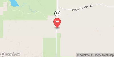 Nelson Creek Near Van Norman Mt
|
33cfs |
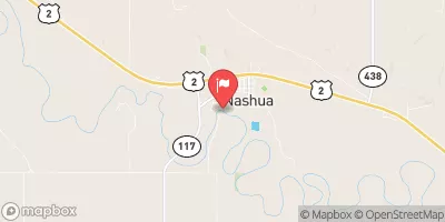 Milk River At Nashua Mt
|
233cfs |
 Redwater River At Circle Mt
|
4cfs |
 Missouri River Near Wolf Point Mt
|
5020cfs |
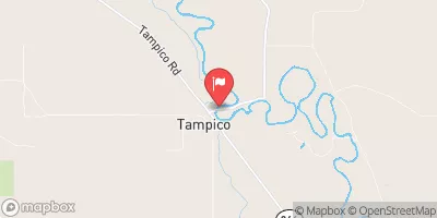 Milk River At Tampico Mt
|
123cfs |
 Poplar River Near Poplar Mt
|
28cfs |
Dam Data Reference
Condition Assessment
SatisfactoryNo existing or potential dam safety deficiencies are recognized. Acceptable performance is expected under all loading conditions (static, hydrologic, seismic) in accordance with the minimum applicable state or federal regulatory criteria or tolerable risk guidelines.
Fair
No existing dam safety deficiencies are recognized for normal operating conditions. Rare or extreme hydrologic and/or seismic events may result in a dam safety deficiency. Risk may be in the range to take further action. Note: Rare or extreme event is defined by the regulatory agency based on their minimum
Poor A dam safety deficiency is recognized for normal operating conditions which may realistically occur. Remedial action is necessary. POOR may also be used when uncertainties exist as to critical analysis parameters which identify a potential dam safety deficiency. Investigations and studies are necessary.
Unsatisfactory
A dam safety deficiency is recognized that requires immediate or emergency remedial action for problem resolution.
Not Rated
The dam has not been inspected, is not under state or federal jurisdiction, or has been inspected but, for whatever reason, has not been rated.
Not Available
Dams for which the condition assessment is restricted to approved government users.
Hazard Potential Classification
HighDams assigned the high hazard potential classification are those where failure or mis-operation will probably cause loss of human life.
Significant
Dams assigned the significant hazard potential classification are those dams where failure or mis-operation results in no probable loss of human life but can cause economic loss, environment damage, disruption of lifeline facilities, or impact other concerns. Significant hazard potential classification dams are often located in predominantly rural or agricultural areas but could be in areas with population and significant infrastructure.
Low
Dams assigned the low hazard potential classification are those where failure or mis-operation results in no probable loss of human life and low economic and/or environmental losses. Losses are principally limited to the owner's property.
Undetermined
Dams for which a downstream hazard potential has not been designated or is not provided.
Not Available
Dams for which the downstream hazard potential is restricted to approved government users.
 Nomland Dam