


Weatherfordbear #1b Reservoir Report
Last Updated: April 14, 2026
°F
°F
mph
Wind
%
Humidity
Weatherfordbear #1b is a critical earth dam located in Wayne County, Tennessee, specifically in the city of Lutts, along Weatherford Creek.
Summary
Built in 1970 by the USDA NRCS, this dam stands at a structural height of 51 feet and has a hydraulic height of 16 feet, serving primarily for flood risk reduction. With a storage capacity of 4590 acre-feet and a drainage area of 9.89 square miles, Weatherfordbear #1b plays a crucial role in managing water resources in the region.
Managed by the Tennessee Safe Dams Program, Weatherfordbear #1b is inspected every two years and has been assessed to be in satisfactory condition, with a significant hazard potential. While the dam lacks certain features such as outlet gates and controlled spillways, it continues to provide essential flood protection to the surrounding area. However, with a moderate risk assessment rating, there may be a need for ongoing risk management measures to ensure the safety and functionality of the structure.
The dam's location within the Mobile District and its ownership by the local government highlight the collaborative effort involved in maintaining and regulating this important infrastructure. With its stone core and rock and soil foundations, Weatherfordbear #1b stands as a testament to the ongoing efforts to manage water resources and mitigate climate-related risks in the region.
Regional Streamflow Levels
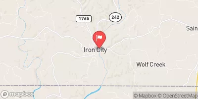 Shoal Creek At Iron City
|
179cfs |
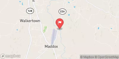 Horse Creek Near Savannah
|
71cfs |
 Cypress Creek Near Florence Al
|
128cfs |
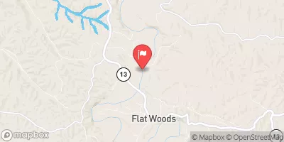 Buffalo River Near Flat Woods
|
298cfs |
 Bear Creek At Bishop
|
4330cfs |
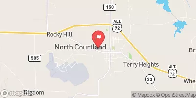 Big Nance Creek At Courtland Al
|
33cfs |
15-Day Long Term Forecast
Year Completed |
1970 |
Dam Length |
1452 |
River Or Stream |
WEATHERFORD CREEK |
Primary Dam Type |
Earth |
Surface Area |
39 |
Hydraulic Height |
16 |
Drainage Area |
9.89 |
Nid Storage |
4590 |
Structural Height |
51 |
Outlet Gates |
None |
Hazard Potential |
Significant |
Foundations |
Rock, Soil |
Nid Height |
51 |
Seasonal Comparison
5-Day Hourly Forecast Detail
Dam Data Reference
Condition Assessment
SatisfactoryNo existing or potential dam safety deficiencies are recognized. Acceptable performance is expected under all loading conditions (static, hydrologic, seismic) in accordance with the minimum applicable state or federal regulatory criteria or tolerable risk guidelines.
Fair
No existing dam safety deficiencies are recognized for normal operating conditions. Rare or extreme hydrologic and/or seismic events may result in a dam safety deficiency. Risk may be in the range to take further action. Note: Rare or extreme event is defined by the regulatory agency based on their minimum
Poor A dam safety deficiency is recognized for normal operating conditions which may realistically occur. Remedial action is necessary. POOR may also be used when uncertainties exist as to critical analysis parameters which identify a potential dam safety deficiency. Investigations and studies are necessary.
Unsatisfactory
A dam safety deficiency is recognized that requires immediate or emergency remedial action for problem resolution.
Not Rated
The dam has not been inspected, is not under state or federal jurisdiction, or has been inspected but, for whatever reason, has not been rated.
Not Available
Dams for which the condition assessment is restricted to approved government users.
Hazard Potential Classification
HighDams assigned the high hazard potential classification are those where failure or mis-operation will probably cause loss of human life.
Significant
Dams assigned the significant hazard potential classification are those dams where failure or mis-operation results in no probable loss of human life but can cause economic loss, environment damage, disruption of lifeline facilities, or impact other concerns. Significant hazard potential classification dams are often located in predominantly rural or agricultural areas but could be in areas with population and significant infrastructure.
Low
Dams assigned the low hazard potential classification are those where failure or mis-operation results in no probable loss of human life and low economic and/or environmental losses. Losses are principally limited to the owner's property.
Undetermined
Dams for which a downstream hazard potential has not been designated or is not provided.
Not Available
Dams for which the downstream hazard potential is restricted to approved government users.