Upper Point Of Pines Dam

Upper Point Of Pines
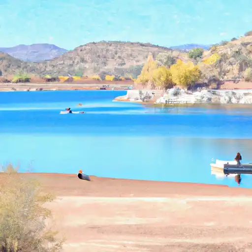
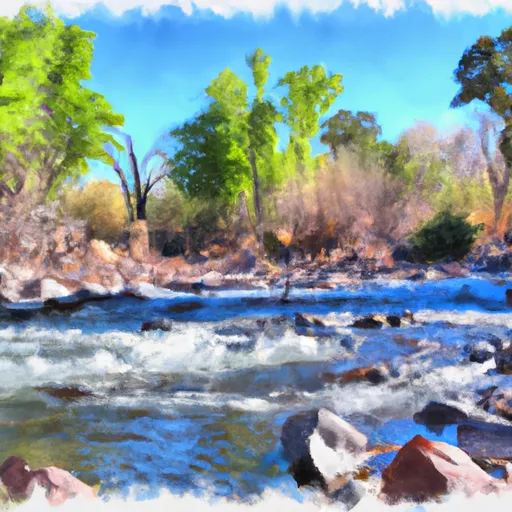
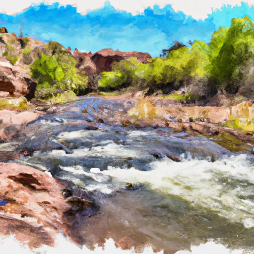
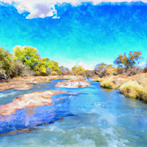
Upper Point of Pines is a Federal-owned recreational dam located in Graham, Arizona, along Point of Pines Creek. Built in 1970 by the Bureau of Indian Affairs, this earth dam stands at a structural height of 29 feet and spans 500 feet in length. With a storage capacity of 70 acre-feet, the primary purpose of Upper Point of Pines is to provide recreational opportunities for visitors in the area.
Despite its age, Upper Point of Pines is considered to have a high hazard potential and a very high risk assessment rating. While the condition assessment is not available, the emergency action plan was last revised in 2013, indicating ongoing efforts to ensure the safety and security of the dam. However, the risk management measures and inundation maps for the dam are currently not prepared, highlighting potential areas for improvement in the future.
Situated within the Los Angeles District of the US Army Corps of Engineers, Upper Point of Pines serves as a vital water resource for the surrounding area. Its controlled spillway and emergency action plan further emphasize the importance of maintaining and monitoring this dam to ensure its continued functionality and safety for both recreational users and the local ecosystem.
Plan around the weather
Same NOAA / yr.no feed Snoflo's iOS app uses. Watch the precipitation column on the meteogram -- rain on the basin upstream typically lifts inflow 24-72 hours later.
Next 5 days, hour by hour
Temperature line with weather symbols on top, snow + rain accumulation as columns, humidity as a dotted line.
5-day forecast table
Every 3 hours, broken out across temperature, snow, rain, humidity, and wind. Each cell is colour-coded relative to the column min/max.
| Time | Condition | Temp (°F) | Snow (in) | Rain (in) | Humidity (%) | Wind (mps) | Wind dir |
|---|---|---|---|---|---|---|---|
| Loading detailed forecast… | |||||||
15-day temperature & precipitation
Daily temperatures, snow, and rain projected over the next two weeks.
Nearby streamflow gauges
USGS streamgauges around Upper Point Of Pines -- inflows here typically show up in storage 24-72 hours later.
| Streamgauge | Discharge | View |
|---|---|---|
| Black River Blw Pumping Plant | 25 cfs | → |
| Gila River At Calva | 15 cfs | → |
| Eagle Creek Above Pumping Plant | 38 cfs | → |
| Bonita Creek Near Morenci | 2 cfs | → |
| East Fork White River Near Fort Apache | 11 cfs | → |
| White River Near Fort Apache | 24 cfs | → |
Make a day of it
Boat launches, lakeside camping, fishing access, and other reservoirs near Upper Point Of Pines.
Boat launches
See all →

Campgrounds
See all →


Fishing spots
See all →


River runs
See all →
More reservoirs
See all →
About Upper Point Of Pines
Where does the data for Upper Point Of Pines come from?
Structural and regulatory data come from the U.S. Army Corps of Engineers' National Inventory of Dams (NID). Weather forecast comes from NOAA / yr.no -- the same feed Snoflo's iOS app uses.
How often is the report updated?
NID structural data refreshes annually as the Corps publishes updated assessments. The weather forecast refreshes throughout the day.
What does the High hazard rating mean?
The Corps of Engineers' hazard potential classification grades probable consequences if the dam fails: High = probable loss of human life; Significant = no probable loss of human life but possible economic loss / environmental damage; Low = no probable loss of human life, only minor economic / environmental losses. See the Dam Data Reference card below for the full definitions.
What's "% of normal"?
The current storage value compared to the historical average storage on this calendar day. 100% = right on average; values above 100% mean above-normal storage (wet year); values below mean below-normal (dry year or drought).
Can I get alerts when storage crosses a threshold?
Yes -- alerts are managed in the Snoflo iOS app. Favorite this dam, set a threshold, and you'll get a push the moment conditions cross.
Dam data reference
Condition Assessment
- Satisfactory
- No existing or potential dam safety deficiencies are recognized. Acceptable performance is expected under all loading conditions (static, hydrologic, seismic) in accordance with the minimum applicable state or federal regulatory criteria or tolerable risk guidelines.
- Fair
- No existing dam safety deficiencies are recognized for normal operating conditions. Rare or extreme hydrologic and/or seismic events may result in a dam safety deficiency. Risk may be in the range to take further action.
- Poor
- A dam safety deficiency is recognized for normal operating conditions which may realistically occur. Remedial action is necessary. POOR may also be used when uncertainties exist as to critical analysis parameters which identify a potential dam safety deficiency.
- Unsatisfactory
- A dam safety deficiency is recognized that requires immediate or emergency remedial action for problem resolution.
- Not Rated
- The dam has not been inspected, is not under state or federal jurisdiction, or has been inspected but, for whatever reason, has not been rated.
Hazard Potential Classification
- High
- Dams assigned the high hazard potential classification are those where failure or mis-operation will probably cause loss of human life.
- Significant
- Dams assigned the significant hazard potential classification are those dams where failure or mis-operation results in no probable loss of human life but can cause economic loss, environmental damage, disruption of lifeline facilities, or impact other concerns. Significant hazard potential classification dams are often located in predominantly rural or agricultural areas but could be in areas with population and significant infrastructure.
- Low
- Dams assigned the low hazard potential classification are those where failure or mis-operation results in no probable loss of human life and low economic and/or environmental losses. Losses are principally limited to the owner's property.
- Undetermined
- Dams for which a downstream hazard potential has not been designated or is not provided.