
Laying Project Road Dam Reservoir Report
Last Updated: December 5, 2025
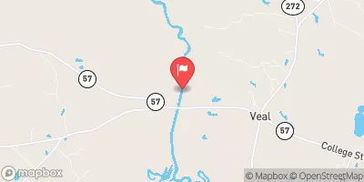
Laying Project Road Dam, also known as Georgia Lake Dam #9, is a state-owned recreational dam located in Baldwin, Georgia.
°F
°F
mph
Wind
%
Humidity
Summary
Built in 1950 by the Natural Resources Conservation Service, this earth dam stands at 27 feet high and stretches 360 feet in length, providing a storage capacity of 121 acre-feet. With a low hazard potential and a moderate risk assessment rating, this dam has not been rated for its current condition but undergoes inspections every five years to ensure its safety and integrity.
Situated in the Hardwick Environs near the Savannah District, Laying Project Road Dam offers a surface area of 8 acres and serves as a popular spot for recreational activities. Despite being unlisted for its foundation type, the dam features an uncontrolled spillway and outlet gates. Although it is not state-regulated and does not require a permit for operation, the dam serves as an important asset for water resource and climate enthusiasts in the area, providing opportunities for outdoor enjoyment and leisure.
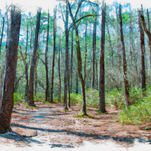
With a primary purpose of recreation, Laying Project Road Dam continues to play a vital role in the local community, offering a picturesque setting for fishing, boating, and other water-based activities. While it may not have a designated emergency action plan or meet certain guidelines, the dam's low hazard potential and moderate risk assessment ensure that it remains a safe and enjoyable destination for visitors to appreciate Georgia's natural beauty and water resources.
Year Completed |
1950 |
Dam Length |
360 |
Dam Height |
27 |
River Or Stream |
UNKNOWN |
Primary Dam Type |
Earth |
Surface Area |
8 |
Drainage Area |
320 |
Nid Storage |
121 |
Outlet Gates |
Uncontrolled |
Hazard Potential |
Low |
Foundations |
Unlisted/Unknown |
Nid Height |
27 |
Seasonal Comparison
Weather Forecast
Nearby Streamflow Levels
 Oconee River At Milledgeville
|
635cfs |
 Oconee River At Avant Mine
|
846cfs |
 Buffalo Creek At Ga 272
|
145cfs |
 Murder Creek Below Eatonton
|
70cfs |
 Oconee River Near Oconee
|
1430cfs |
 Little River Near Eatonton
|
121cfs |
Dam Data Reference
Condition Assessment
SatisfactoryNo existing or potential dam safety deficiencies are recognized. Acceptable performance is expected under all loading conditions (static, hydrologic, seismic) in accordance with the minimum applicable state or federal regulatory criteria or tolerable risk guidelines.
Fair
No existing dam safety deficiencies are recognized for normal operating conditions. Rare or extreme hydrologic and/or seismic events may result in a dam safety deficiency. Risk may be in the range to take further action. Note: Rare or extreme event is defined by the regulatory agency based on their minimum
Poor A dam safety deficiency is recognized for normal operating conditions which may realistically occur. Remedial action is necessary. POOR may also be used when uncertainties exist as to critical analysis parameters which identify a potential dam safety deficiency. Investigations and studies are necessary.
Unsatisfactory
A dam safety deficiency is recognized that requires immediate or emergency remedial action for problem resolution.
Not Rated
The dam has not been inspected, is not under state or federal jurisdiction, or has been inspected but, for whatever reason, has not been rated.
Not Available
Dams for which the condition assessment is restricted to approved government users.
Hazard Potential Classification
HighDams assigned the high hazard potential classification are those where failure or mis-operation will probably cause loss of human life.
Significant
Dams assigned the significant hazard potential classification are those dams where failure or mis-operation results in no probable loss of human life but can cause economic loss, environment damage, disruption of lifeline facilities, or impact other concerns. Significant hazard potential classification dams are often located in predominantly rural or agricultural areas but could be in areas with population and significant infrastructure.
Low
Dams assigned the low hazard potential classification are those where failure or mis-operation results in no probable loss of human life and low economic and/or environmental losses. Losses are principally limited to the owner's property.
Undetermined
Dams for which a downstream hazard potential has not been designated or is not provided.
Not Available
Dams for which the downstream hazard potential is restricted to approved government users.
 Laying Project Road Dam
 Baldwin State Forest
 Huley Park
 Walter B Williams Jr Park