Bridgeport Re Nr Bridgeport Reservoir Report
Nearby: Lobdel Lake
Last Updated: February 21, 2026
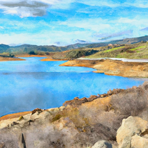
Bridgeport Reservoir is located in the town of Bridgeport, California.
Summary
The reservoir is a popular spot for recreational activities such as fishing, boating, and camping. It was created by the Bridgeport Dam, which was built in 1923 to provide irrigation water to the surrounding agricultural lands. The dam is 223 feet tall and can store up to 42,000 acre-feet of water. The reservoir is fed by a combination of surface flows from the East Walker River and snowpack melt from the surrounding mountains. The East Walker River is a popular fishing destination and is home to a variety of trout species. The snowpack in the surrounding mountains provides important water resources for the area's agricultural needs. The Bridgeport Reservoir and its surrounding area are also popular for hiking and other outdoor activities.
°F
°F
mph
Wind
%
Humidity
15-Day Weather Outlook
Reservoir Details
| Elevation Of Reservoir Water Surface Above Datum, Ft 24hr Change | 0.14% |
| Percent of Normal | 109% |
| Minimum |
31.67 ft
2014-10-27 |
| Maximum |
59.96 ft
2011-08-01 |
| Average | 52 ft |
| Dam_Height | 63 |
| Hydraulic_Height | 52.7 |
| Drainage_Area | 356 |
| Year_Completed | 1924 |
| Nid_Storage | 44100 |
| Surface_Area | 3125 |
| River_Or_Stream | East Walker Rv |
| Dam_Length | 900 |
| Hazard_Potential | High |
| Primary_Dam_Type | Earth |
| Nid_Height | 63 |
Seasonal Comparison
Reservoir Storage, Acre-Ft Levels
Elevation Of Reservoir Water Surface Above Datum, Ft Levels
5-Day Hourly Forecast Detail
Nearby Streamflow Levels
Dam Data Reference
Condition Assessment
SatisfactoryNo existing or potential dam safety deficiencies are recognized. Acceptable performance is expected under all loading conditions (static, hydrologic, seismic) in accordance with the minimum applicable state or federal regulatory criteria or tolerable risk guidelines.
Fair
No existing dam safety deficiencies are recognized for normal operating conditions. Rare or extreme hydrologic and/or seismic events may result in a dam safety deficiency. Risk may be in the range to take further action. Note: Rare or extreme event is defined by the regulatory agency based on their minimum
Poor A dam safety deficiency is recognized for normal operating conditions which may realistically occur. Remedial action is necessary. POOR may also be used when uncertainties exist as to critical analysis parameters which identify a potential dam safety deficiency. Investigations and studies are necessary.
Unsatisfactory
A dam safety deficiency is recognized that requires immediate or emergency remedial action for problem resolution.
Not Rated
The dam has not been inspected, is not under state or federal jurisdiction, or has been inspected but, for whatever reason, has not been rated.
Not Available
Dams for which the condition assessment is restricted to approved government users.
Hazard Potential Classification
HighDams assigned the high hazard potential classification are those where failure or mis-operation will probably cause loss of human life.
Significant
Dams assigned the significant hazard potential classification are those dams where failure or mis-operation results in no probable loss of human life but can cause economic loss, environment damage, disruption of lifeline facilities, or impact other concerns. Significant hazard potential classification dams are often located in predominantly rural or agricultural areas but could be in areas with population and significant infrastructure.
Low
Dams assigned the low hazard potential classification are those where failure or mis-operation results in no probable loss of human life and low economic and/or environmental losses. Losses are principally limited to the owner's property.
Undetermined
Dams for which a downstream hazard potential has not been designated or is not provided.
Not Available
Dams for which the downstream hazard potential is restricted to approved government users.
Area Campgrounds
| Location | Reservations | Toilets |
|---|---|---|
 Swauger
|
||
 Buckeye (Upper)
|
||
 Buckeye Group
|
||
 Honeymoon Flat Campground
|
||
 Robinson Creek South/North Campground
|
||
 Paha Campground
|


 Bridgeport
 Bridgeport Re Nr Bridgeport
 Bridgeport Reservoir
 Rough Creek
 Virginia Creek
 Atastra Creek
 Green Creek