Summary
Hourly Weather Forecast
Area Campgrounds
| Location | Reservations | Toilets |
|---|---|---|
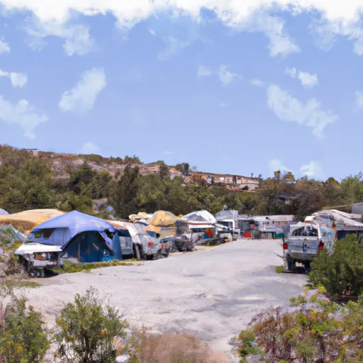 Mono Vista RV Park
|
||
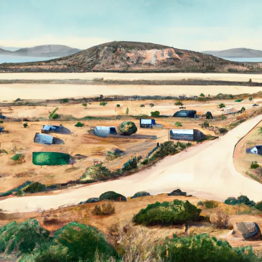 Cattleguard
|
||
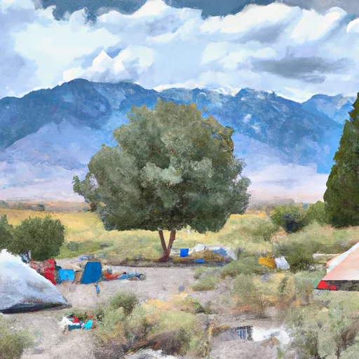 Lower Lee Vining Campground
|
||
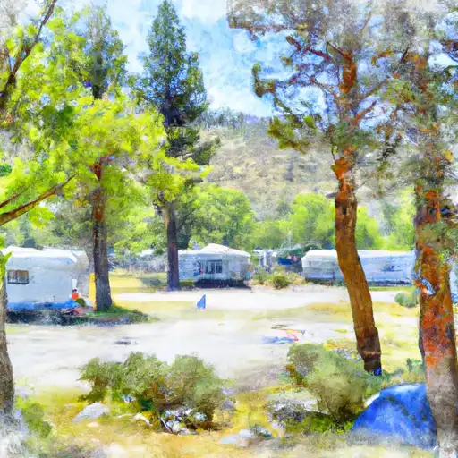 Lower Lee Vining
|
||
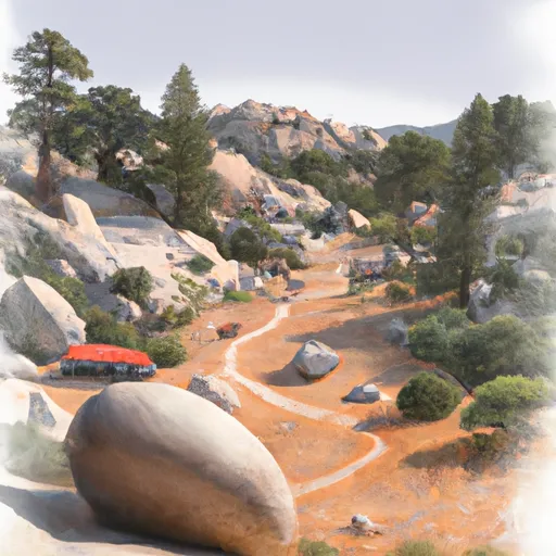 Boulder
|
||
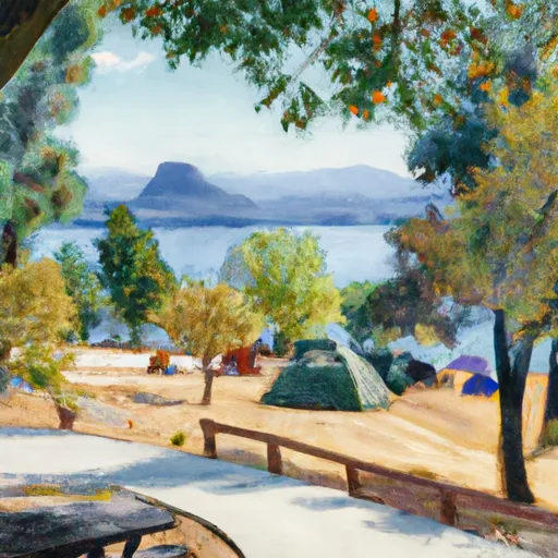 Grant Lake Campground
|
| Location | Reservations | Toilets |
|---|---|---|
 Mono Vista RV Park
|
||
 Cattleguard
|
||
 Lower Lee Vining Campground
|
||
 Lower Lee Vining
|
||
 Boulder
|
||
 Grant Lake Campground
|