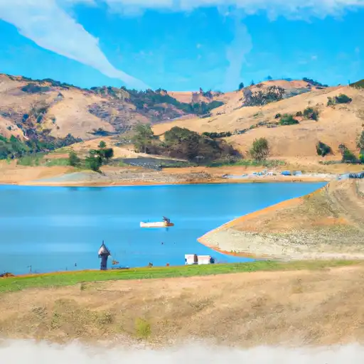
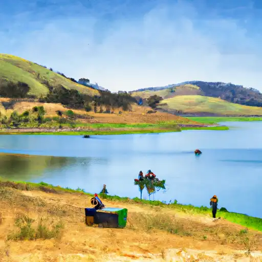
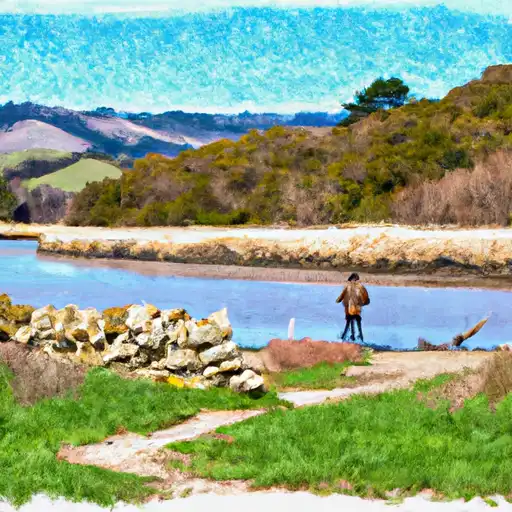
Calaveras Reservoir
As of July 21, 2026, Calaveras is holding 92,590 acre-ft of water — 110% of normal storage for this date. Storage data refreshed throughout the day.

Calaveras
Calaveras County is located in the Sierra Nevada Mountains of California and is known for its history of gold mining and the iconic natural landmark, the Calaveras Big Trees State Park. The hydrology of Calaveras County is primarily driven by the Sierra Nevada snowpack, which serves as a primary water source for the region. Specific surface flow providers include the Mokelumne River and the Calaveras River. The snowpack also provides water for agricultural uses, including vineyards and fruit orchards. Recreational activities in Calaveras County include hiking, camping, fishing, and skiing at Bear Valley ski resort. The county also hosts events such as the Calaveras County Fair and Jumping Frog Jubilee.
Daily levels at Calaveras
Storage volume, pool elevation, and total release plotted from the operating agency's daily observations.
Storage
acre-ft · code 2
Pool Elevation
ft · code 1
Plan around the weather
Same NOAA / yr.no feed Snoflo's iOS app uses. Watch the precipitation column on the meteogram -- rain on the basin upstream typically lifts inflow 24-72 hours later.
Next 5 days, hour by hour
Temperature line with weather symbols on top, snow + rain accumulation as columns, humidity as a dotted line.
5-day forecast table
Every 3 hours, broken out across temperature, snow, rain, humidity, and wind. Each cell is colour-coded relative to the column min/max.
| Time | Condition | Temp (°F) | Snow (in) | Rain (in) | Humidity (%) | Wind (mps) | Wind dir |
|---|---|---|---|---|---|---|---|
| Loading detailed forecast… | |||||||
15-day temperature & precipitation
Daily temperatures, snow, and rain projected over the next two weeks.
Nearby streamflow gauges
USGS streamgauges around Calaveras -- inflows here typically show up in storage 24-72 hours later.
| Streamgauge | Discharge | View |
|---|---|---|
| Calaveras C Nr Sunol Ca | 8 cfs | → |
| Alameda C Bl Calaveras C Nr Sunol Ca | 8 cfs | → |
| Alameda C Bl Div Dam Nr Sunol Ca | 0 cfs | → |
| Alameda C Ab Div Dam Nr Sunol Ca | 1 cfs | → |
| Arroyo Hondo Nr San Jose Ca | 3 cfs | → |
| Alameda C Bl Welch C Nr Sunol Ca | 7 cfs | → |


About Calaveras
Where does the data for Calaveras come from?
Daily storage, pool elevation, and release rates are sourced from USGS, USBR, and USACE monitoring stations. Weather forecast comes from NOAA / yr.no -- the same feed Snoflo's iOS app uses.
How often is the report updated?
Storage observations are updated daily by the operating agency. The 15-day weather forecast refreshes throughout the day. Snoflo caches and renders the most recent observation -- check the "as of" timestamp on the storage card.
What does the Hazard hazard rating mean?
The Corps of Engineers' hazard potential classification grades probable consequences if the dam fails: High = probable loss of human life; Significant = no probable loss of human life but possible economic loss / environmental damage; Low = no probable loss of human life, only minor economic / environmental losses. See the Dam Data Reference card below for the full definitions.
What's "% of normal"?
The current storage value compared to the historical average storage on this calendar day. 100% = right on average; values above 100% mean above-normal storage (wet year); values below mean below-normal (dry year or drought).
Can I get alerts when storage crosses a threshold?
Yes -- alerts are managed in the Snoflo iOS app. Favorite this reservoir, set a threshold, and you'll get a push the moment conditions cross.