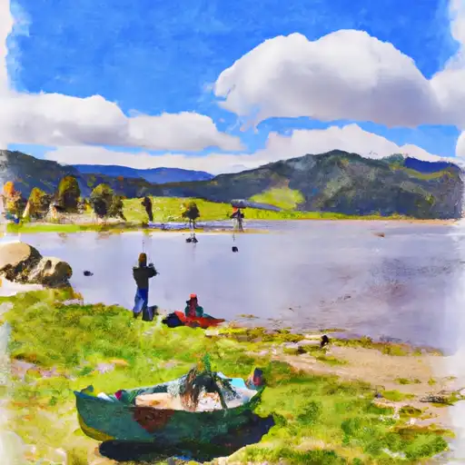
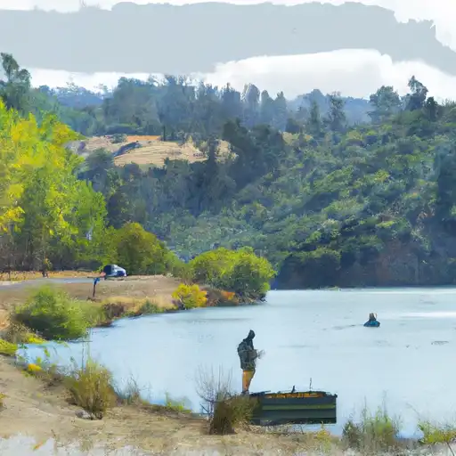
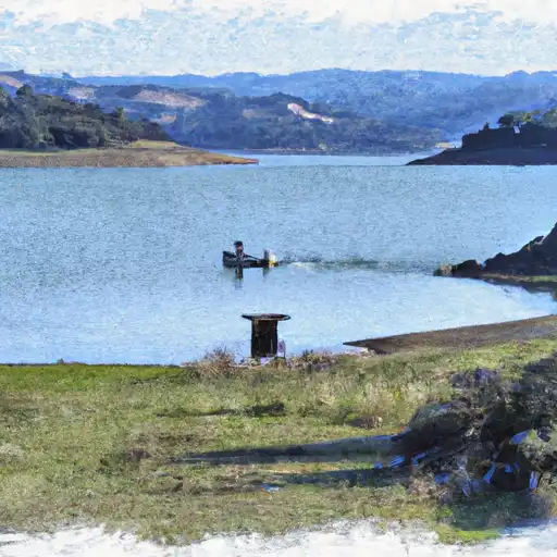
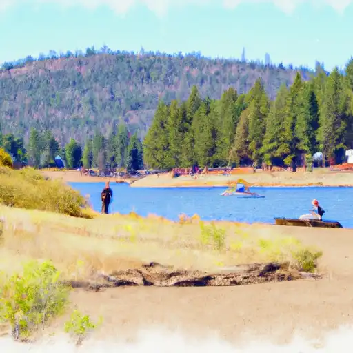
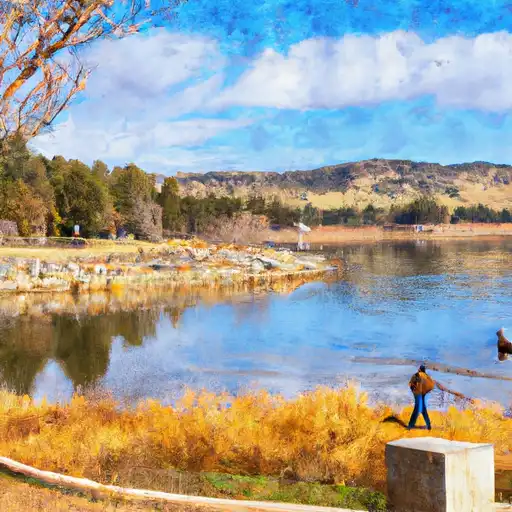
Clear Lk A Lakeport Ca Reservoir
As of July 20, 2026, Clear Lk A Lakeport Ca is holding 5 ft of water — 91% of normal storage for this date. Storage data refreshed throughout the day.

Clear Lk A Lakeport Ca
Clear Lake is a natural freshwater lake situated in Lake County, California. It is the largest natural lake in the state, covering an area of 68 square miles. The lake has a rich history and was known as "Lypoyomi" by the Pomo Native Americans who lived in the area. The hydrology of the lake is unique, with no visible outflow and a high level of evaporation. The surface flow of the lake is provided by Cache Creek, while the snowpack from surrounding mountains contributes to its water level. The lake is also used for agricultural purposes, with vineyards and orchards surrounding its shores. Recreation activities on the lake include fishing, boating, and water sports. However, in recent years, the lake has been affected by toxic algae blooms, which have impacted its recreational and agricultural uses.
Daily levels at Clear Lk A Lakeport Ca
Storage volume, pool elevation, and total release plotted from the operating agency's daily observations.
Gage height, ft
ft · code 00065
Plan around the weather
Same NOAA / yr.no feed Snoflo's iOS app uses. Watch the precipitation column on the meteogram -- rain on the basin upstream typically lifts inflow 24-72 hours later.
Next 5 days, hour by hour
Temperature line with weather symbols on top, snow + rain accumulation as columns, humidity as a dotted line.
5-day forecast table
Every 3 hours, broken out across temperature, snow, rain, humidity, and wind. Each cell is colour-coded relative to the column min/max.
| Time | Condition | Temp (°F) | Snow (in) | Rain (in) | Humidity (%) | Wind (mps) | Wind dir |
|---|---|---|---|---|---|---|---|
| Loading detailed forecast… | |||||||
15-day temperature & precipitation
Daily temperatures, snow, and rain projected over the next two weeks.
Nearby streamflow gauges
USGS streamgauges around Clear Lk A Lakeport Ca -- inflows here typically show up in storage 24-72 hours later.
| Streamgauge | Discharge | View |
|---|---|---|
| Kelsey C Nr Kelseyville Ca | 4 cfs | → |
| Russian R Nr Hopland Ca | 118 cfs | → |
| Russian R Nr Cloverdale Ca | 98 cfs | → |
| Russian R Nr Talmage Ca | 106 cfs | → |
| Big Sulphur C Nr Cloverdale Ca | 5 cfs | → |
| Big Sulphur C A G Resort Nr Cloverdale Ca | 1 cfs | → |


About Clear Lk A Lakeport Ca
Where does the data for Clear Lk A Lakeport Ca come from?
Daily storage, pool elevation, and release rates are sourced from USGS, USBR, and USACE monitoring stations. Weather forecast comes from NOAA / yr.no -- the same feed Snoflo's iOS app uses.
How often is the report updated?
Storage observations are updated daily by the operating agency. The 15-day weather forecast refreshes throughout the day. Snoflo caches and renders the most recent observation -- check the "as of" timestamp on the storage card.
What does the Hazard hazard rating mean?
The Corps of Engineers' hazard potential classification grades probable consequences if the dam fails: High = probable loss of human life; Significant = no probable loss of human life but possible economic loss / environmental damage; Low = no probable loss of human life, only minor economic / environmental losses. See the Dam Data Reference card below for the full definitions.
What's "% of normal"?
The current storage value compared to the historical average storage on this calendar day. 100% = right on average; values above 100% mean above-normal storage (wet year); values below mean below-normal (dry year or drought).
Can I get alerts when storage crosses a threshold?
Yes -- alerts are managed in the Snoflo iOS app. Favorite this reservoir, set a threshold, and you'll get a push the moment conditions cross.