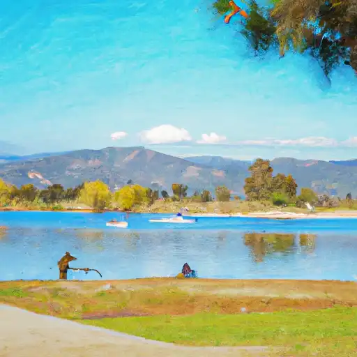
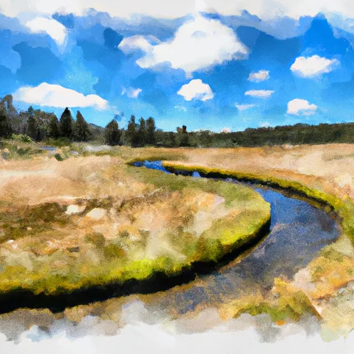
Crafton Hills Pumping Station Reservoir
As of July 20, 2026, Crafton Hills Pumping Station is holding 65 acre-ft of water. Storage data refreshed throughout the day.

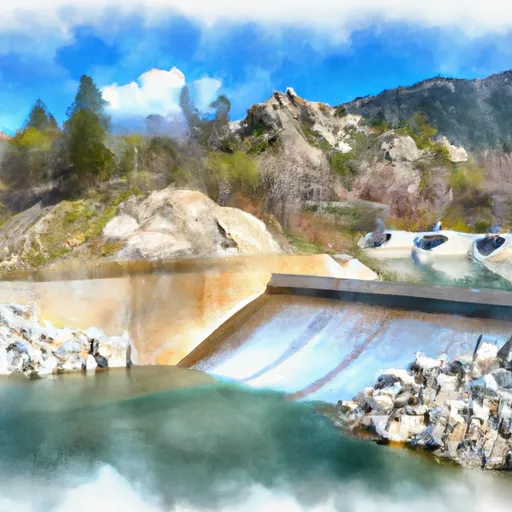
Crafton Hills Pumping Station
The Crafton Hills Pumping Station in California was built in 1940 as part of the Santa Ana River Project. The facility pumps water from the Santa Ana River to the Crafton Hills Reservoir, which supplies water to the cities of Redlands and Loma Linda. The hydrology of the area is heavily influenced by the Santa Ana River, which is fed by both surface flow and snowpack. The main surface flow provider is the Santa Ana River, while the snowpack from the nearby San Bernardino Mountains also contributes to the hydrology. The area around the pumping station is primarily used for agriculture, with citrus orchards and other crops being common. Additionally, there are recreational opportunities in the nearby Crafton Hills Open Space Preserve, which offers hiking and mountain biking trails.
Daily levels at Crafton Hills Pumping Station
Storage volume, pool elevation, and total release plotted from the operating agency's daily observations.
Storage
acre-ft · code 2
Pool Elevation
ft · code 1
Plan around the weather
Same NOAA / yr.no feed Snoflo's iOS app uses. Watch the precipitation column on the meteogram -- rain on the basin upstream typically lifts inflow 24-72 hours later.
Next 5 days, hour by hour
Temperature line with weather symbols on top, snow + rain accumulation as columns, humidity as a dotted line.
5-day forecast table
Every 3 hours, broken out across temperature, snow, rain, humidity, and wind. Each cell is colour-coded relative to the column min/max.
| Time | Condition | Temp (°F) | Snow (in) | Rain (in) | Humidity (%) | Wind (mps) | Wind dir |
|---|---|---|---|---|---|---|---|
| Loading detailed forecast… | |||||||
15-day temperature & precipitation
Daily temperatures, snow, and rain projected over the next two weeks.
Nearby streamflow gauges
USGS streamgauges around Crafton Hills Pumping Station -- inflows here typically show up in storage 24-72 hours later.
| Streamgauge | Discharge | View |
|---|---|---|
| Sar Supp Gage Nr Mentone Ca | 23 cfs | → |
| Santa Ana R Nr Mentone (River Only) Ca | 37 cfs | → |
| Plunge C Nr East Highlands Ca | 1 cfs | → |
| City C Nr Highland Ca | 0 cfs | → |
| Sand Canyon C Nr Highland Ca | 1 cfs | → |
| San Timoteo C Nr Loma Linda Ca | 0 cfs | → |


About Crafton Hills Pumping Station
Where does the data for Crafton Hills Pumping Station come from?
Daily storage, pool elevation, and release rates are sourced from USGS, USBR, and USACE monitoring stations. Weather forecast comes from NOAA / yr.no -- the same feed Snoflo's iOS app uses.
How often is the report updated?
Storage observations are updated daily by the operating agency. The 15-day weather forecast refreshes throughout the day. Snoflo caches and renders the most recent observation -- check the "as of" timestamp on the storage card.
What does the Hazard hazard rating mean?
The Corps of Engineers' hazard potential classification grades probable consequences if the dam fails: High = probable loss of human life; Significant = no probable loss of human life but possible economic loss / environmental damage; Low = no probable loss of human life, only minor economic / environmental losses. See the Dam Data Reference card below for the full definitions.
What's "% of normal"?
The current storage value compared to the historical average storage on this calendar day. 100% = right on average; values above 100% mean above-normal storage (wet year); values below mean below-normal (dry year or drought).
Can I get alerts when storage crosses a threshold?
Yes -- alerts are managed in the Snoflo iOS app. Favorite this reservoir, set a threshold, and you'll get a push the moment conditions cross.