Bautista Creek - National Wild & Scenic River Points Of Interest
Rate this placeLast Updated: February 2, 2026
Get the latest Points of Interest, Amenities, and Weather for Bautista Creek - National Wild & Scenic River in California. California Amenities and Weather
°F
°F
mph
Wind
%
Humidity
15-Day Weather Outlook
Summary
Hourly Weather Forecast
Area Campgrounds
| Location | Reservations | Toilets |
|---|---|---|
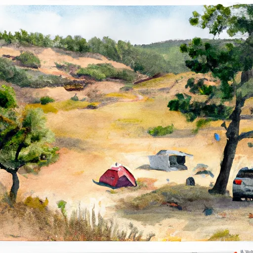 Yellow Post 5
|
||
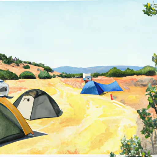 Yellow Post 7
|
||
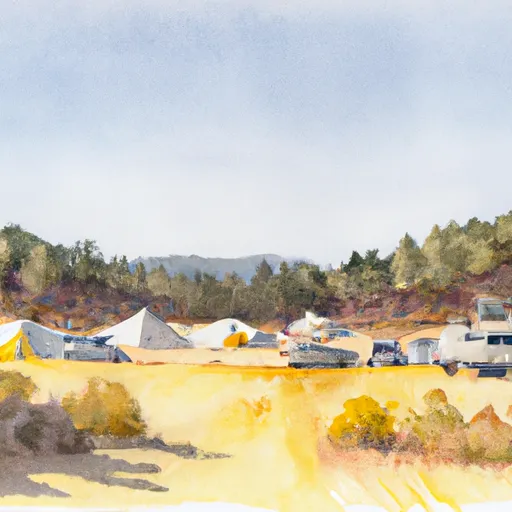 Yellow Post 8
|
||
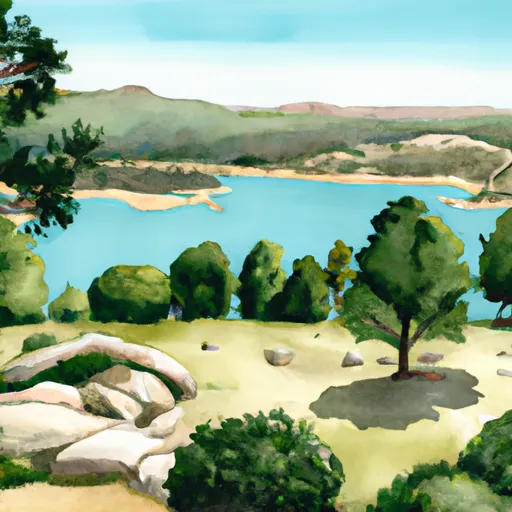 Lake Hemet
|
||
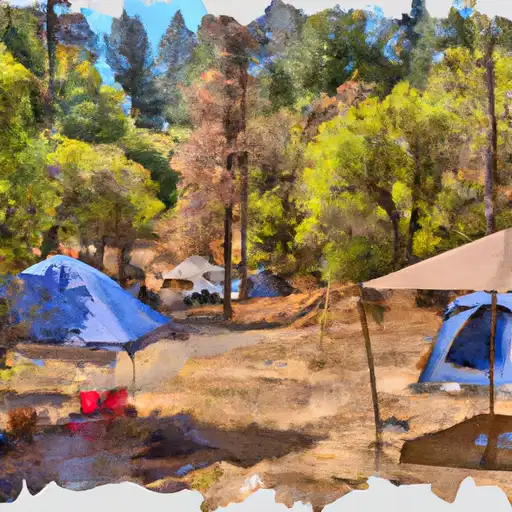 Hurkey Creek
|
||
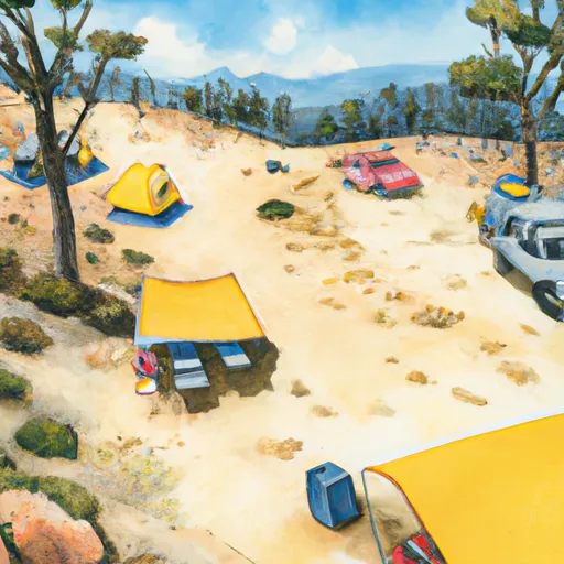 Yellow Post 9
|

 Wilderness San Jacinto
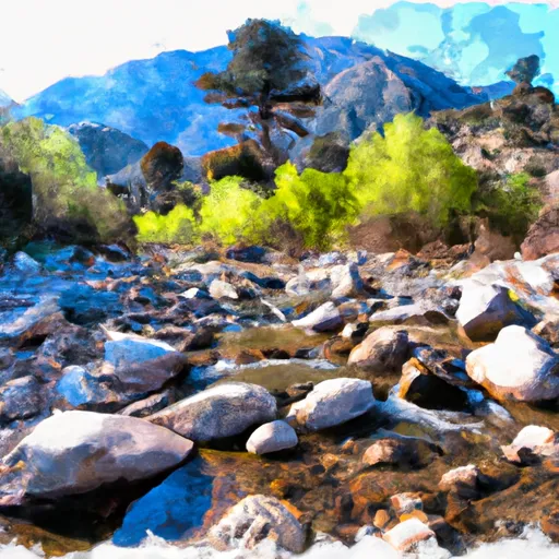 National Wild and Scenic River North Fork San Jacinto, California
 Mount San Jacinto State Park
 Humber Park
 Bill Gray Park
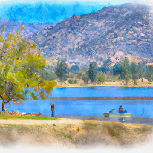 Lake Hemet
 Strawberry Creek
 Foster Lake
 Little Lake
 Fuller Mill Creek