Cuyamaca Dam Reservoir Report
Nearby: Lake Cuyamaca Rutherford #2
Last Updated: February 21, 2026
Cuyamaca Dam is a historic dam located in San Diego County, California.
Summary
It was built in the early 1900s to provide water for agriculture in the region. The dam is a concrete arch structure standing 110 feet tall and 375 feet long. It has a storage capacity of 8,110 acre-feet of water. The hydrology of the area is seasonal with most of the precipitation falling during the winter months. The dam captures surface flow from the Cuyamaca Mountains and snowpack from nearby peaks. The water stored in the reservoir is used for irrigation and domestic purposes. The area around the dam is also used for recreational purposes, including hiking, fishing, and camping. The dam is a significant historical landmark in San Diego County and continues to play an important role in the region's water supply.
°F
°F
mph
Wind
%
Humidity
15-Day Weather Outlook
Reservoir Details
| 24hr Change | None% |
| Percent of Normal | None% |
| Minimum |
|
| Maximum |
|
| Average | |
| Nid_Height | 40 |
| Hydraulic_Height | 34.3 |
| Drainage_Area | 12 |
| Year_Completed | 1887 |
| Dam_Height | 40 |
| Hazard_Potential | High |
| River_Or_Stream | Boulder Creek |
| Primary_Dam_Type | Earth |
| Surface_Area | 976 |
| Nid_Storage | 11740 |
| Dam_Length | 665 |
Seasonal Comparison
Storage Levels
Pool Elevation Levels
Top Conserv Storage Levels
Inflow Levels
5-Day Hourly Forecast Detail
Nearby Streamflow Levels
Dam Data Reference
Condition Assessment
SatisfactoryNo existing or potential dam safety deficiencies are recognized. Acceptable performance is expected under all loading conditions (static, hydrologic, seismic) in accordance with the minimum applicable state or federal regulatory criteria or tolerable risk guidelines.
Fair
No existing dam safety deficiencies are recognized for normal operating conditions. Rare or extreme hydrologic and/or seismic events may result in a dam safety deficiency. Risk may be in the range to take further action. Note: Rare or extreme event is defined by the regulatory agency based on their minimum
Poor A dam safety deficiency is recognized for normal operating conditions which may realistically occur. Remedial action is necessary. POOR may also be used when uncertainties exist as to critical analysis parameters which identify a potential dam safety deficiency. Investigations and studies are necessary.
Unsatisfactory
A dam safety deficiency is recognized that requires immediate or emergency remedial action for problem resolution.
Not Rated
The dam has not been inspected, is not under state or federal jurisdiction, or has been inspected but, for whatever reason, has not been rated.
Not Available
Dams for which the condition assessment is restricted to approved government users.
Hazard Potential Classification
HighDams assigned the high hazard potential classification are those where failure or mis-operation will probably cause loss of human life.
Significant
Dams assigned the significant hazard potential classification are those dams where failure or mis-operation results in no probable loss of human life but can cause economic loss, environment damage, disruption of lifeline facilities, or impact other concerns. Significant hazard potential classification dams are often located in predominantly rural or agricultural areas but could be in areas with population and significant infrastructure.
Low
Dams assigned the low hazard potential classification are those where failure or mis-operation results in no probable loss of human life and low economic and/or environmental losses. Losses are principally limited to the owner's property.
Undetermined
Dams for which a downstream hazard potential has not been designated or is not provided.
Not Available
Dams for which the downstream hazard potential is restricted to approved government users.

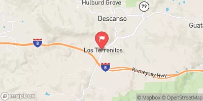
 Lake Cuyamaca Park
 Camp Hual-Cu-Cuish (Closed)
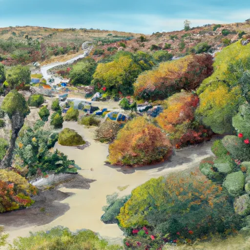 Paso Picacho Campground
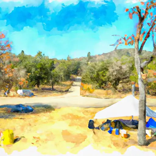 Paso Picacho - Cuyamaca Rancho State Park
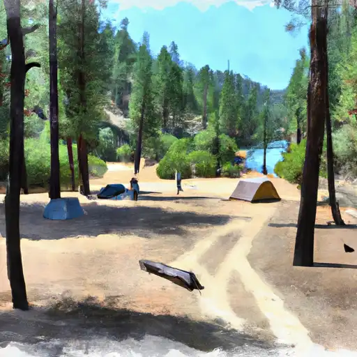 William Heise
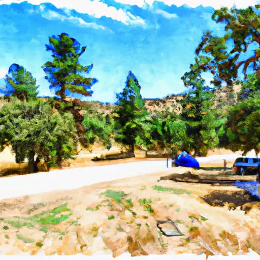 Green Valley - Cuyamaca Rancho State Park
 Cuyamaca
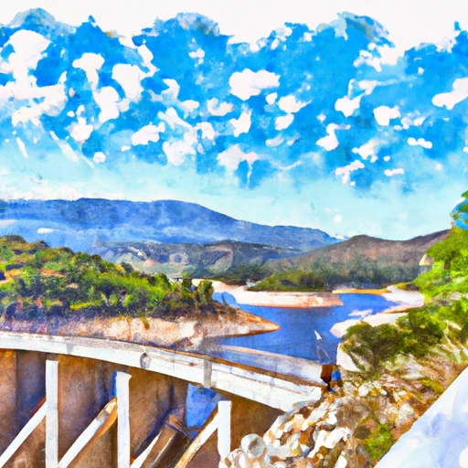 Cuyamaca Dam
 Crouch Ranch To Morena Reservoir