Leviathan Mine Pit Flow Nr Markleeville Ca Reservoir Report
Nearby: Indian Creek Harvey Place
Last Updated: February 19, 2026
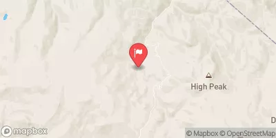
The Leviathan Mine Pit Flow is located near Markleeville, California, and is a result of decades of mining activities in the area.
Summary
The hydrology of the site is influenced by the nearby Sierra Nevada mountain range, which provides snowmelt and rainwater runoff that feeds into the pit. The pit is also known to contain high levels of heavy metals, which can have negative impacts on water quality and aquatic life. To mitigate these impacts, a water treatment plant has been installed to remove contaminants before discharging the water into nearby streams. The site has limited agricultural or recreational uses due to its history and ongoing remediation efforts.
°F
°F
mph
Wind
%
Humidity
15-Day Weather Outlook
Reservoir Details
| Gage Height, Ft 24hr Change | 0.0% |
| Percent of Normal | 100% |
| Minimum |
9.77 ft
2012-11-30 |
| Maximum |
10.49 ft
2021-10-06 |
| Average | 10 ft |
Seasonal Comparison
Streamflow, Ft³/S Levels
Gage Height, Ft Levels
Streamflow, Gal/Min Levels
5-Day Hourly Forecast Detail
Nearby Streamflow Levels
Dam Data Reference
Condition Assessment
SatisfactoryNo existing or potential dam safety deficiencies are recognized. Acceptable performance is expected under all loading conditions (static, hydrologic, seismic) in accordance with the minimum applicable state or federal regulatory criteria or tolerable risk guidelines.
Fair
No existing dam safety deficiencies are recognized for normal operating conditions. Rare or extreme hydrologic and/or seismic events may result in a dam safety deficiency. Risk may be in the range to take further action. Note: Rare or extreme event is defined by the regulatory agency based on their minimum
Poor A dam safety deficiency is recognized for normal operating conditions which may realistically occur. Remedial action is necessary. POOR may also be used when uncertainties exist as to critical analysis parameters which identify a potential dam safety deficiency. Investigations and studies are necessary.
Unsatisfactory
A dam safety deficiency is recognized that requires immediate or emergency remedial action for problem resolution.
Not Rated
The dam has not been inspected, is not under state or federal jurisdiction, or has been inspected but, for whatever reason, has not been rated.
Not Available
Dams for which the condition assessment is restricted to approved government users.
Hazard Potential Classification
HighDams assigned the high hazard potential classification are those where failure or mis-operation will probably cause loss of human life.
Significant
Dams assigned the significant hazard potential classification are those dams where failure or mis-operation results in no probable loss of human life but can cause economic loss, environment damage, disruption of lifeline facilities, or impact other concerns. Significant hazard potential classification dams are often located in predominantly rural or agricultural areas but could be in areas with population and significant infrastructure.
Low
Dams assigned the low hazard potential classification are those where failure or mis-operation results in no probable loss of human life and low economic and/or environmental losses. Losses are principally limited to the owner's property.
Undetermined
Dams for which a downstream hazard potential has not been designated or is not provided.
Not Available
Dams for which the downstream hazard potential is restricted to approved government users.
Area Campgrounds
| Location | Reservations | Toilets |
|---|---|---|
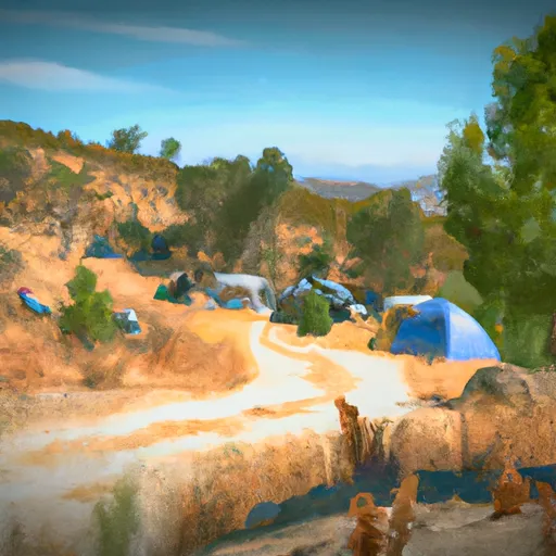 Centerville Flat
|
||
 Centerville Flat Campground
|
||
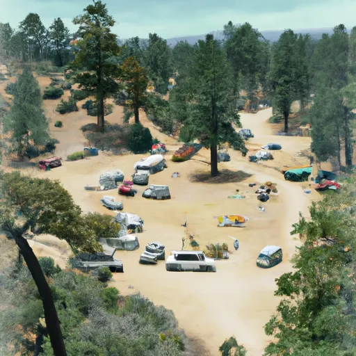 Centerville Flat Dispersed Campground
|
||
 Markleeville Campground
|
||
 Markleeville
|
||
 Indian Creek Campground
|

 Heenan Lake
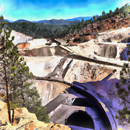 Leviathan Mine Pit Flow Nr Markleeville Ca
 Leviathan Mine Pond 1 Nr Markleeville Ca
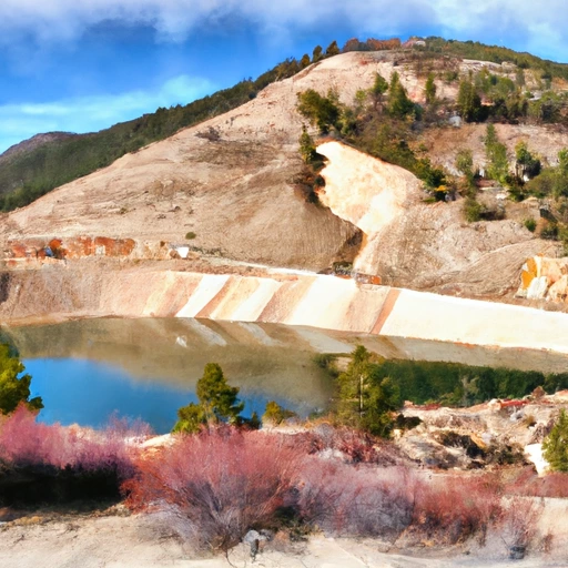 Leviathan Mine Pond 4 Nr Markleeville Ca
 Topaz Lk Nr Topaz
 Centerville Flat To Hangman'S Bridge
 Source Sec 24, T6N, R21E To Centerville Flat
 Leavitt Meadows Campground To Htnf Boundary