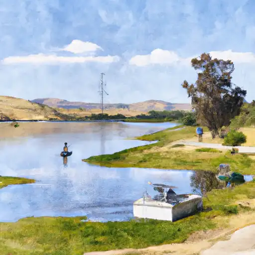
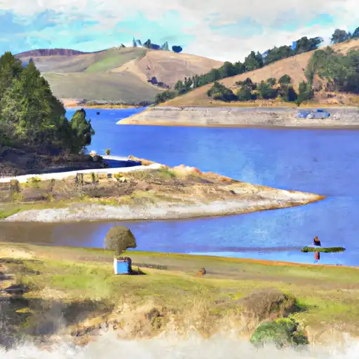
Los Banos Dam Reservoir
As of July 17, 2026, Los Banos Dam is holding 21,801 acre-ft of water — 103% of normal storage for this date. Storage data refreshed throughout the day.

Los Banos Dam
Los Banos Dam, located in Merced County, California, is a key reservoir in the Central Valley Project. Built in 1968, the dam is primarily used for flood control, irrigation, and hydroelectric power generation. The dam impounds the San Luis Reservoir, which can hold up to 2 million acre-feet of water. The hydrology of the reservoir is predominantly fed by snowmelt from the Sierra Nevada Mountains and surface runoff from the San Joaquin River. The reservoir serves as a major water source for agriculture in the Central Valley, and also provides recreational opportunities such as boating and fishing. In recent years, the reservoir has faced challenges due to prolonged drought conditions, leading to decreased snowpack and surface flow providers.
Daily levels at Los Banos Dam
Storage volume, pool elevation, and total release plotted from the operating agency's daily observations.
Storage
acre-ft · code 2
Pool Elevation
ft · code 1
Plan around the weather
Same NOAA / yr.no feed Snoflo's iOS app uses. Watch the precipitation column on the meteogram -- rain on the basin upstream typically lifts inflow 24-72 hours later.
Next 5 days, hour by hour
Temperature line with weather symbols on top, snow + rain accumulation as columns, humidity as a dotted line.
5-day forecast table
Every 3 hours, broken out across temperature, snow, rain, humidity, and wind. Each cell is colour-coded relative to the column min/max.
| Time | Condition | Temp (°F) | Snow (in) | Rain (in) | Humidity (%) | Wind (mps) | Wind dir |
|---|---|---|---|---|---|---|---|
| Loading detailed forecast… | |||||||
15-day temperature & precipitation
Daily temperatures, snow, and rain projected over the next two weeks.
Nearby streamflow gauges
USGS streamgauges around Los Banos Dam -- inflows here typically show up in storage 24-72 hours later.
| Streamgauge | Discharge | View |
|---|---|---|
| Salt Slough A Hwy 165 Nr Stevinson Ca | 65 cfs | → |
| Mud Slough Nr Gustine Ca | 0 cfs | → |
| San Joaquin R A Fremont Ford Bridge Ca | 65 cfs | → |
| San Joaquin R Ab Merced R Nr Newman Ca | 84 cfs | → |
| Orestimba C Nr Newman Ca | · | → |
| San Joaquin R Nr Newman Ca | 154 cfs | → |


About Los Banos Dam
Where does the data for Los Banos Dam come from?
Daily storage, pool elevation, and release rates are sourced from USGS, USBR, and USACE monitoring stations. Weather forecast comes from NOAA / yr.no -- the same feed Snoflo's iOS app uses.
How often is the report updated?
Storage observations are updated daily by the operating agency. The 15-day weather forecast refreshes throughout the day. Snoflo caches and renders the most recent observation -- check the "as of" timestamp on the storage card.
What does the Hazard hazard rating mean?
The Corps of Engineers' hazard potential classification grades probable consequences if the dam fails: High = probable loss of human life; Significant = no probable loss of human life but possible economic loss / environmental damage; Low = no probable loss of human life, only minor economic / environmental losses. See the Dam Data Reference card below for the full definitions.
What's "% of normal"?
The current storage value compared to the historical average storage on this calendar day. 100% = right on average; values above 100% mean above-normal storage (wet year); values below mean below-normal (dry year or drought).
Can I get alerts when storage crosses a threshold?
Yes -- alerts are managed in the Snoflo iOS app. Favorite this reservoir, set a threshold, and you'll get a push the moment conditions cross.