Summary
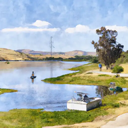
According to the latest information available, the ramp is 15 feet wide and is suitable for small to medium-sized boats and watercraft such as fishing boats, kayaks, canoes, and jet skis. However, it may not be appropriate for larger vessels due to its size and depth.
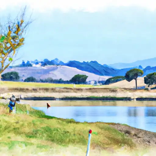
The San Luis Reservoir is a man-made lake that was created by the construction of the San Luis Dam on the San Joaquin River. It is a popular destination for fishing, boating, and other water activities. The reservoir covers an area of approximately 12,700 acres and has a maximum depth of 319 feet.
In terms of regulations, all watercraft using the Basalt Road boat ramp must comply with California state boating laws. This includes having the appropriate safety equipment onboard, such as life jackets and fire extinguishers, and following speed limits and other rules of the waterway.
Overall, the Basalt Road boat ramp in Los Banos provides convenient access to the San Luis Reservoir for a variety of watercraft, making it a popular destination for boaters and anglers in the area.

 Basalt Road, Los Banos
 ONeill Forebay
 O´Neill Forebay
 Los Banos Reservoir