


Marlette Lk Nr Carson City Reservoir Report
Last Updated: April 23, 2026
°F
°F
mph
Wind
%
Humidity
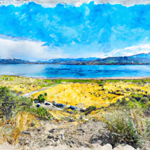
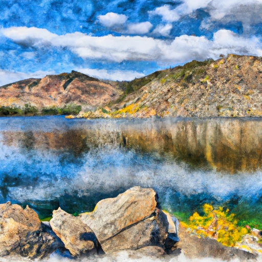
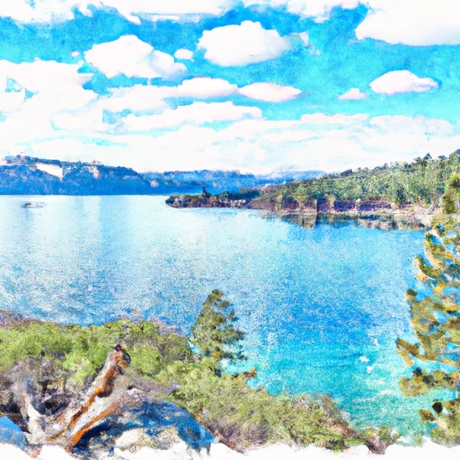
Marlette Lake is a natural alpine lake located in the Sierra Nevada Mountains near Carson City, NV.
Summary
Its history dates back to the late 1800s when it was first used as a water source for the Comstock mines. Today, the lake serves as a primary source of water for the Carson City area. The hydrology of the lake is unique due to its high elevation and the surrounding mountains. Surface flow providers include streams and springs, while snowpack providers are crucial for maintaining water levels in the lake. The area surrounding the lake is used for hiking, camping, and other recreational activities. The lake is also important for agricultural uses, particularly for irrigating crops in the Carson Valley. Overall, Marlette Lake is a significant natural resource for the Carson City area, contributing to both its history and modern-day needs.
Regional Streamflow Levels
15-Day Long Term Forecast
Reservoir Details
| Elevation Of Reservoir Water Surface Above Datum, Ft 24hr Change | 0.16% |
| Percent of Normal | 55% |
| Minimum |
14.6 ft
2025-10-02 |
| Maximum |
38.94 ft
2020-06-01 |
| Average | 36 ft |
| Dam_Height | 48 |
| Hydraulic_Height | 43 |
| Drainage_Area | 4 |
| Years_Modified | 1950 - Hydraulic, 1950 - Structural |
| Nid_Storage | 12700 |
| Structural_Height | 50 |
| River_Or_Stream | MARLETTE CREEK |
| Foundations | Rock |
| Surface_Area | 380 |
| Hazard_Potential | High |
| Outlet_Gates | Slide (sluice gate) - 2 |
| Dam_Length | 290 |
| Primary_Dam_Type | Earth |
| Nid_Height | 50 |
Seasonal Comparison
Reservoir Storage, Acre-Ft Levels
Elevation Of Reservoir Water Surface Above Datum, Ft Levels
5-Day Hourly Forecast Detail
Dam Data Reference
Condition Assessment
SatisfactoryNo existing or potential dam safety deficiencies are recognized. Acceptable performance is expected under all loading conditions (static, hydrologic, seismic) in accordance with the minimum applicable state or federal regulatory criteria or tolerable risk guidelines.
Fair
No existing dam safety deficiencies are recognized for normal operating conditions. Rare or extreme hydrologic and/or seismic events may result in a dam safety deficiency. Risk may be in the range to take further action. Note: Rare or extreme event is defined by the regulatory agency based on their minimum
Poor A dam safety deficiency is recognized for normal operating conditions which may realistically occur. Remedial action is necessary. POOR may also be used when uncertainties exist as to critical analysis parameters which identify a potential dam safety deficiency. Investigations and studies are necessary.
Unsatisfactory
A dam safety deficiency is recognized that requires immediate or emergency remedial action for problem resolution.
Not Rated
The dam has not been inspected, is not under state or federal jurisdiction, or has been inspected but, for whatever reason, has not been rated.
Not Available
Dams for which the condition assessment is restricted to approved government users.
Hazard Potential Classification
HighDams assigned the high hazard potential classification are those where failure or mis-operation will probably cause loss of human life.
Significant
Dams assigned the significant hazard potential classification are those dams where failure or mis-operation results in no probable loss of human life but can cause economic loss, environment damage, disruption of lifeline facilities, or impact other concerns. Significant hazard potential classification dams are often located in predominantly rural or agricultural areas but could be in areas with population and significant infrastructure.
Low
Dams assigned the low hazard potential classification are those where failure or mis-operation results in no probable loss of human life and low economic and/or environmental losses. Losses are principally limited to the owner's property.
Undetermined
Dams for which a downstream hazard potential has not been designated or is not provided.
Not Available
Dams for which the downstream hazard potential is restricted to approved government users.
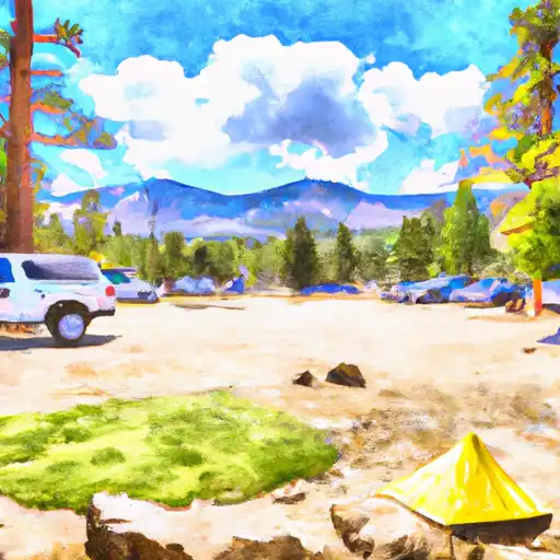
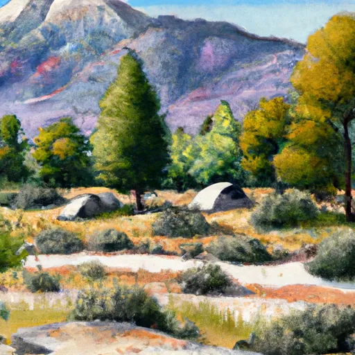
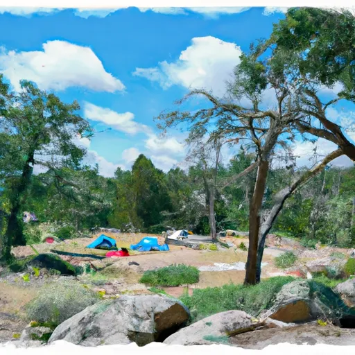
Area Campgrounds
| Location | Reservations | Toilets |
|---|---|---|
 Marlette Peak Campground
|
||
 Washoe Lake State Rec Area
|
||
 Mt. Rose Campground
|
||
 Mount Rose
|
||
 Davis Creek
|
||
 Lake Forest
|
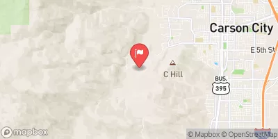
 Marlette Lk Nr Carson City
 Lake Tahoe At Tahoe City
 Lk Tahoe A Tahoe City Ca
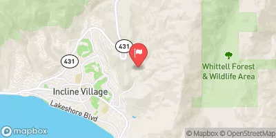
 Lakeshore Boulevard , 89452 Nevada