Modesto Reservoir Reservoir Report
Nearby: Turlock Lake J&T Cattle Company No. 1
Last Updated: February 22, 2026
Modesto Reservoir, located in Stanislaus County, California, was built in 1975 by the United States Bureau of Reclamation.
Summary
The reservoir has a capacity of 29,000 acre-feet, and is fed by the Tuolumne River. The hydrology of the reservoir is managed by the Modesto Irrigation District, which uses the water for agricultural purposes. The surface flow provider for the reservoir is the Tuolumne River, and the snowpack provider is the Sierra Nevada Mountains. The reservoir is used for recreational purposes, such as camping, fishing, and boating. The reservoir also serves as a source of drinking water for the city of Modesto.
°F
°F
mph
Wind
%
Humidity
15-Day Weather Outlook
Reservoir Details
| 24hr Change | None% |
| Percent of Normal | None% |
| Minimum |
|
| Maximum |
|
| Average | |
| Nid_Height | 36 |
| Hydraulic_Height | 36 |
| Primary_Dam_Type | Earth |
| Drainage_Area | 10 |
| Year_Completed | 1911 |
| Dam_Height | 36 |
| Surface_Area | 3800 |
| Hazard_Potential | High |
| Nid_Storage | 40000 |
| River_Or_Stream | Tr Tuolumne Rv |
| Dam_Length | 1235 |
Seasonal Comparison
Storage Levels
Pool Elevation Levels
Top Conserv Storage Levels
Inflow Levels
5-Day Hourly Forecast Detail
Nearby Streamflow Levels
 Modesto Cn Nr La Grange Ca
|
2cfs |
 Tuolumne R Bl Lagrange Dam Nr Lagrange Ca
|
2980cfs |
 Turlock Cn Nr La Grange Ca
|
128cfs |
 Tuolumne R A Modesto Ca
|
3950cfs |
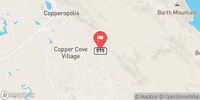 Black C Nr Copperopolis Ca
|
59cfs |
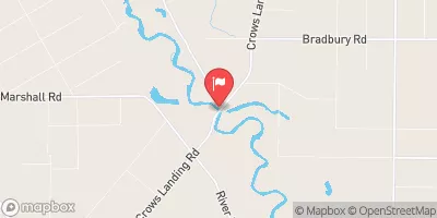 San Joaquin R Nr Crows Landing Ca
|
3580cfs |
Dam Data Reference
Condition Assessment
SatisfactoryNo existing or potential dam safety deficiencies are recognized. Acceptable performance is expected under all loading conditions (static, hydrologic, seismic) in accordance with the minimum applicable state or federal regulatory criteria or tolerable risk guidelines.
Fair
No existing dam safety deficiencies are recognized for normal operating conditions. Rare or extreme hydrologic and/or seismic events may result in a dam safety deficiency. Risk may be in the range to take further action. Note: Rare or extreme event is defined by the regulatory agency based on their minimum
Poor A dam safety deficiency is recognized for normal operating conditions which may realistically occur. Remedial action is necessary. POOR may also be used when uncertainties exist as to critical analysis parameters which identify a potential dam safety deficiency. Investigations and studies are necessary.
Unsatisfactory
A dam safety deficiency is recognized that requires immediate or emergency remedial action for problem resolution.
Not Rated
The dam has not been inspected, is not under state or federal jurisdiction, or has been inspected but, for whatever reason, has not been rated.
Not Available
Dams for which the condition assessment is restricted to approved government users.
Hazard Potential Classification
HighDams assigned the high hazard potential classification are those where failure or mis-operation will probably cause loss of human life.
Significant
Dams assigned the significant hazard potential classification are those dams where failure or mis-operation results in no probable loss of human life but can cause economic loss, environment damage, disruption of lifeline facilities, or impact other concerns. Significant hazard potential classification dams are often located in predominantly rural or agricultural areas but could be in areas with population and significant infrastructure.
Low
Dams assigned the low hazard potential classification are those where failure or mis-operation results in no probable loss of human life and low economic and/or environmental losses. Losses are principally limited to the owner's property.
Undetermined
Dams for which a downstream hazard potential has not been designated or is not provided.
Not Available
Dams for which the downstream hazard potential is restricted to approved government users.
Area Campgrounds
| Location | Reservations | Toilets |
|---|---|---|
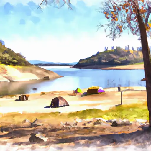 Modesto Reservoir
|
||
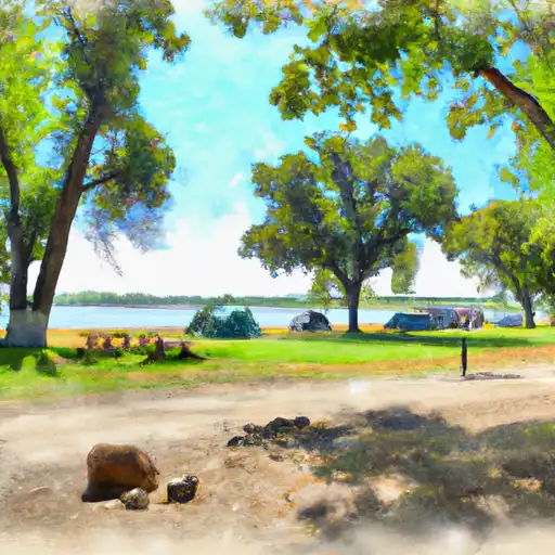 Turlock Lake State Rec Area
|
||
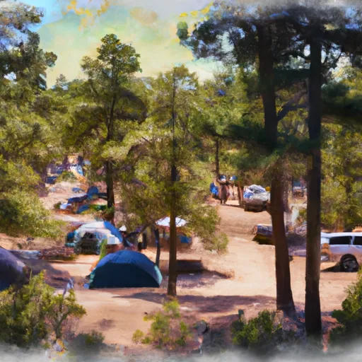 Horseshoe Road Recreation Area & Campground
|

 Modesto Reservoir
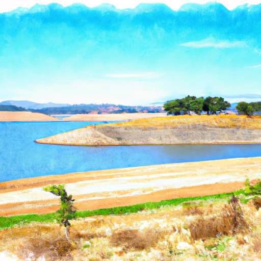 Modesto Reservoir
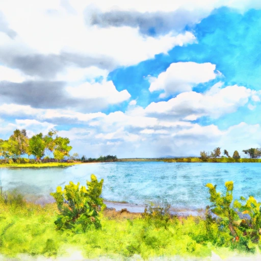 Turlock Lake