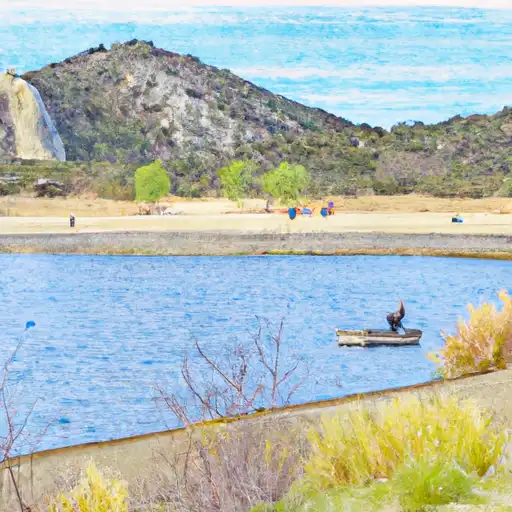
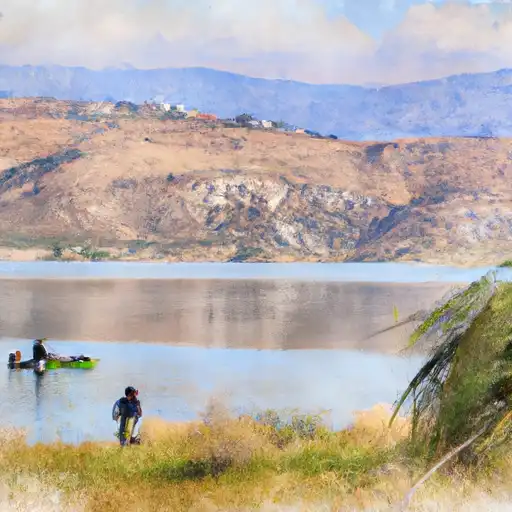
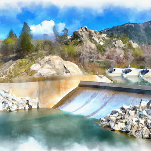
Perris Reservoir
As of July 20, 2026, Perris is holding 100,486 acre-ft of water — 116% of normal storage for this date. Storage data refreshed throughout the day.

Perris
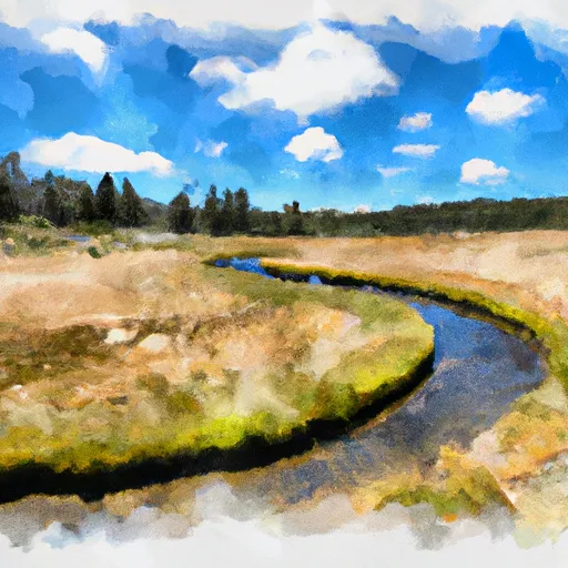
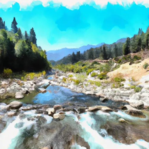
Perris is a city located in Riverside County, California. It was established in the 1880s as a railway town and later became known for its agriculture industry. The city is situated within the San Jacinto Watershed and is home to Lake Perris, a reservoir created by the construction of the Perris Dam in 1973. The lake serves as a popular recreational destination for swimming, boating, and fishing. The hydrology of the area is also heavily influenced by the snowpack from nearby mountains, which provides significant surface flow to rivers and streams in the region. Agriculture remains an important industry in Perris, with crops including citrus, avocados, and grapes. The city also boasts a variety of recreational activities, including skydiving and hot air balloon rides.
Daily levels at Perris
Storage volume, pool elevation, and total release plotted from the operating agency's daily observations.
Storage
acre-ft · code 2
Pool Elevation
ft · code 1
Plan around the weather
Same NOAA / yr.no feed Snoflo's iOS app uses. Watch the precipitation column on the meteogram -- rain on the basin upstream typically lifts inflow 24-72 hours later.
Next 5 days, hour by hour
Temperature line with weather symbols on top, snow + rain accumulation as columns, humidity as a dotted line.
5-day forecast table
Every 3 hours, broken out across temperature, snow, rain, humidity, and wind. Each cell is colour-coded relative to the column min/max.
| Time | Condition | Temp (°F) | Snow (in) | Rain (in) | Humidity (%) | Wind (mps) | Wind dir |
|---|---|---|---|---|---|---|---|
| Loading detailed forecast… | |||||||
15-day temperature & precipitation
Daily temperatures, snow, and rain projected over the next two weeks.
Nearby streamflow gauges
USGS streamgauges around Perris -- inflows here typically show up in storage 24-72 hours later.
Make a day of it
Boat launches, lakeside camping, fishing access, and other reservoirs near Perris.
Boat launches
See all →


Campgrounds
See all →


Fishing spots
See all →


River runs
See all →


About Perris
Where does the data for Perris come from?
Daily storage, pool elevation, and release rates are sourced from USGS, USBR, and USACE monitoring stations. Weather forecast comes from NOAA / yr.no -- the same feed Snoflo's iOS app uses.
How often is the report updated?
Storage observations are updated daily by the operating agency. The 15-day weather forecast refreshes throughout the day. Snoflo caches and renders the most recent observation -- check the "as of" timestamp on the storage card.
What does the Hazard hazard rating mean?
The Corps of Engineers' hazard potential classification grades probable consequences if the dam fails: High = probable loss of human life; Significant = no probable loss of human life but possible economic loss / environmental damage; Low = no probable loss of human life, only minor economic / environmental losses. See the Dam Data Reference card below for the full definitions.
What's "% of normal"?
The current storage value compared to the historical average storage on this calendar day. 100% = right on average; values above 100% mean above-normal storage (wet year); values below mean below-normal (dry year or drought).
Can I get alerts when storage crosses a threshold?
Yes -- alerts are managed in the Snoflo iOS app. Favorite this reservoir, set a threshold, and you'll get a push the moment conditions cross.