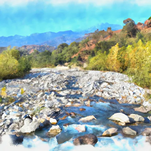
VAIL LAKE BOAT RAMP

Put Ins Take Outs Weather


Vail Lake Boat Ramp is a concrete boat ramp located in the Vail Lake Resort in California, USA. It is situated at latitude 33.48322296 and longitude -116.96494293.

The Vail Lake Boat Ramp is a double-wide ramp, which means that two boats can be launched simultaneously. The ramp is also 28 feet wide, making it wide enough to accommodate different sizes of watercraft.

The boat ramp services Vail Lake, which is a reservoir located in southwestern Riverside County, California. The lake provides water for irrigation, municipal, and recreational uses in the region.

A variety of watercraft are allowed on Vail Lake, including kayaks, canoes, sailboats, motorboats, and jet skis. However, the use of watercraft on the lake is restricted to those that meet certain requirements, such as having a valid registration and complying with all the safety rules and regulations.

In summary, the Vail Lake Boat Ramp is a concrete, double-wide ramp that is 28 feet wide. It services Vail Lake, a reservoir located in southwestern Riverside County, California, and is open to various types of watercraft, including kayaks, canoes, sailboats, motorboats, and jet skis, as long as they meet the necessary safety requirements.

Air Quality Alert
Until 2024-09-12T19:15:00-07:00 National Weather Service
The South Coast AQMD has updated an air quality alert due to increased fine particle pollution from wildfire smoke in the region. The air quality alert is in effect Wednesday and Thursday.The South Coast AQMD has also issued an air quality alert for the Coachella Valley due to increased particle pollution from blowing dust in effect until 8 AM Thursday. If you smell smoke or see ash due to a wildfire, remain indoors with windows and doors closed or seek alternative shelter, if feasible. Avoid vigorous physical activity and run your air conditioner and/or an air purifier. If possible, do not use whole house fans or swamp coolers that bring in outside air. Avoid burning wood in your fireplace or firepit and minimize sources of indoor air pollution such as candles, incense, pan-frying, and grilling. If you must be outdoors, keep the time brief and wear a tightly-fitted N-95 or P- 100 respirator to help reduce exposure. Limit the use of gasoline powered lawn and garden equipment. Exposure to particle pollution can cause serious health problems, aggravate lung disease, cause asthma attacks and acute bronchitis, and increase risk of respiratory infections. People with heart or lung diseases should follow their doctor's advice for dealing with episodes of unhealthy air quality. Additionally, people with respiratory or heart disease, older adults, and children are particularly susceptible and should avoid prolonged exposure, strenuous activities or heavy exertion as conditions dictate. In areas directly impacted by high levels of windblown dust, limit your exposure by remaining indoors with windows and doors closed and avoiding vigorous physical activity. Run your air conditioner or an air purifier. If temperatures allow, avoid using whole house fans or swamp coolers that bring in outside air. Levels of particle pollution can vary hour by hour and by location depending on fire behavior and local weather conditions. To view current and forecasted air quality levels in the South Coast Air Basin and Coachella Valley, visit the South Coast Air Quality Management District website at aqmd.gov or download the mobile app at www.aqmd.gov/mobileapp. Additional details for this air quality alert may be available at www.aqmd.gov/advisory. To view current and forecasted air quality levels in the Mojave Desert, visit the Mojave Desert Air Quality Management District website at mdaqmd.ca.gov. Additional details for this air quality alert may be available at www.mdaqmd.ca.gov/advisories. To view current and forecasted air quality levels in Antelope Valley, visit the Antelope Valley Air Quality Management District website at www.avaqmd.ca.gov. To view current and forecasted air quality levels in San Diego County, visit the San Diego County Air Pollution Control District website at www.sdapcd.org/content/sdapcd/air-quality.html. Additional details for this air quality alert may be available at www.sdapcd.org/content/sdapcd/air-quality/smoke-advisory.html To view current and forecast air quality within Imperial County visit the Imperial County Air Quality website at http://www.imperialvalleyair.org/ or follow ICAPCD on Twitter, facebook or Instagram (@county_air).

September 12, 2024

°F

°F

mph

Windspeed

%

Humidity

Regional Streamflow

0

Cubic Feet Per Second

0

Cubic Feet Per Second

8

Cubic Feet Per Second

2

Cubic Feet Per Second

Explore the Interactive Map

View recreational hotspots like fishing, camping, and parks, alongside climate-related data such as river levels, snowpack, and weather forecasts. Enjoy 3D mapping for an immersive experience, and switch to satellite view for a detailed look at your favorite spots. Simply click, explore, and discover nature like never before!

5-Day Weather Forecast

16-Day Weather Forecast

Nearby Camping & Amenities

Camping Area Campsites Reservations Toilets Showers Elevation
Bobcat Meadow 20 3,802 ft
Cibbets Flat 25 4,154 ft
Corral Canyon 20 3,438 ft
Sweetwater Summit 112 280 ft
Silver Strand State Beach Dispersed 140 12 ft
Fiddlers Cove RV Military - Coronado NB Numerous 8 ft
Lark Canyon 15 3,766 ft
Potrero 46 2,410 ft
Lake Morena 86 3,057 ft
Boulder Oaks 30 3,173 ft

Explore Nearby Places

Palm Street Park


Palm Street Park is a small park located in the city of Santa Ana, California. While it may not be the largest park in the area, it is a great place to relax and enjoy the outdoors. Some good reasons to visit this park include its tranquil atmosphere, numerous amenities, and proximity to other nearby attractions. One of the most notable features of Palm Street Park is its playground. This area is perfect for children and families, with plenty of equipment to keep kids entertained for hours. The park also has a large soccer field, basketball court, and picnic tables, ...