Vail Lake Reservoir Report
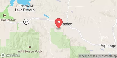
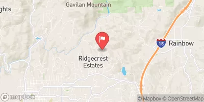
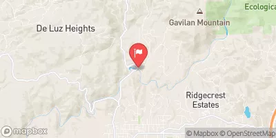
Nearby: Skinner Clearwell Robert A Skinner
Last Updated: February 22, 2026
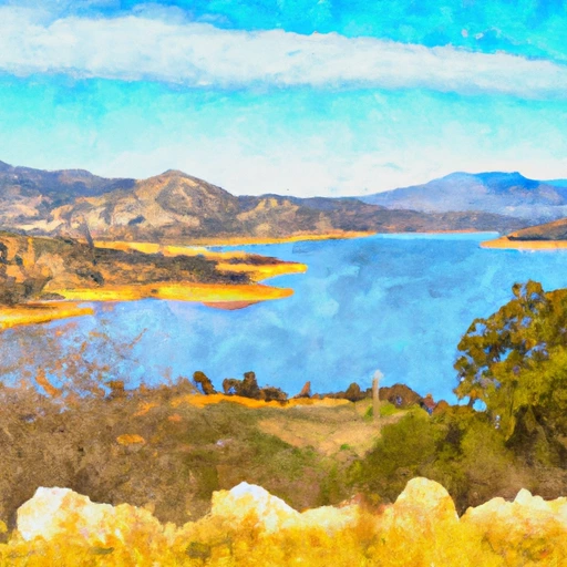
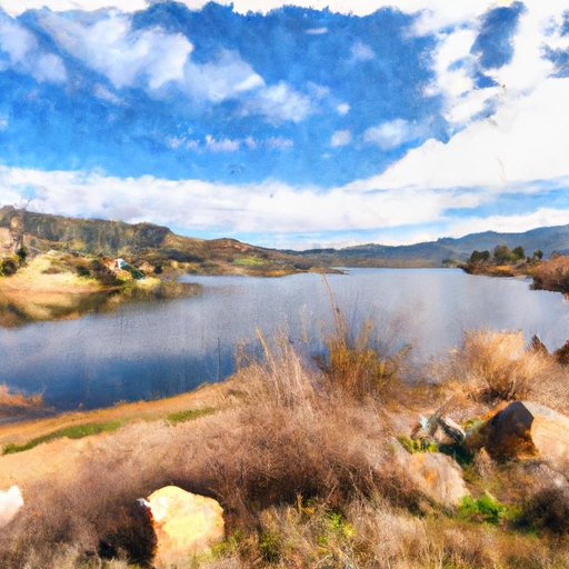
Vail Lake is a reservoir located in southern California, United States.
Summary
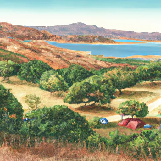
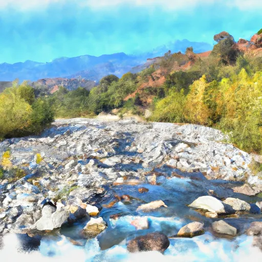
The lake was created in 1948 after the construction of the Vail Lake Dam on Temecula Creek. Vail Lake is primarily fed by Temecula Creek, which is a tributary of Santa Margarita River. The lake is an important source of water for the surrounding agricultural lands and serves as a recreational destination. Its hydrology is affected by the surface flow from Temecula Creek and by snowpack from the nearby mountains. The lake is surrounded by a variety of recreational facilities, including camping areas, picnic sites, and hiking trails. Water-based activities, such as fishing, boating, and swimming, are also popular among visitors. The lake also plays a significant role in supporting the local agricultural industry by providing irrigation water.
°F
°F
mph
Wind
%
Humidity
15-Day Weather Outlook
Lionshead Village Webcam
Reservoir Details
| Storage 24hr Change | -0.11% |
| Percent of Normal | 125% |
| Minimum |
7,686.0 acre-ft
2022-12-10 |
| Maximum |
17,182.0 acre-ft
2023-05-11 |
| Average | 12,692 acre-ft |
| Dam_Height | 152 |
| Hydraulic_Height | 139.4 |
| Drainage_Area | 318.4 |
| Year_Completed | 1949 |
| Nid_Storage | 51000 |
| Surface_Area | 1078 |
| River_Or_Stream | Temecula Creek |
| Dam_Length | 788 |
| Hazard_Potential | High |
| Primary_Dam_Type | Arch |
| Nid_Height | 152 |
Seasonal Comparison
Storage Levels
Pool Elevation Levels
Top Conserv Storage Levels
Inflow Levels
5-Day Hourly Forecast Detail
Nearby Streamflow Levels
Dam Data Reference
Condition Assessment
SatisfactoryNo existing or potential dam safety deficiencies are recognized. Acceptable performance is expected under all loading conditions (static, hydrologic, seismic) in accordance with the minimum applicable state or federal regulatory criteria or tolerable risk guidelines.
Fair
No existing dam safety deficiencies are recognized for normal operating conditions. Rare or extreme hydrologic and/or seismic events may result in a dam safety deficiency. Risk may be in the range to take further action. Note: Rare or extreme event is defined by the regulatory agency based on their minimum
Poor A dam safety deficiency is recognized for normal operating conditions which may realistically occur. Remedial action is necessary. POOR may also be used when uncertainties exist as to critical analysis parameters which identify a potential dam safety deficiency. Investigations and studies are necessary.
Unsatisfactory
A dam safety deficiency is recognized that requires immediate or emergency remedial action for problem resolution.
Not Rated
The dam has not been inspected, is not under state or federal jurisdiction, or has been inspected but, for whatever reason, has not been rated.
Not Available
Dams for which the condition assessment is restricted to approved government users.
Hazard Potential Classification
HighDams assigned the high hazard potential classification are those where failure or mis-operation will probably cause loss of human life.
Significant
Dams assigned the significant hazard potential classification are those dams where failure or mis-operation results in no probable loss of human life but can cause economic loss, environment damage, disruption of lifeline facilities, or impact other concerns. Significant hazard potential classification dams are often located in predominantly rural or agricultural areas but could be in areas with population and significant infrastructure.
Low
Dams assigned the low hazard potential classification are those where failure or mis-operation results in no probable loss of human life and low economic and/or environmental losses. Losses are principally limited to the owner's property.
Undetermined
Dams for which a downstream hazard potential has not been designated or is not provided.
Not Available
Dams for which the downstream hazard potential is restricted to approved government users.
Area Campgrounds
| Location | Reservations | Toilets |
|---|---|---|
 Dripping Springs
|
||
 Lake Skinner
|
||
 Doane valley camp ground
|
||
 Fry Creek Campground
|
||
 Fry Creek
|
||
 Observatory Campground - USFS
|



 Vail
Vail
 Vail Lake
 Vail Lk Nr Temecula Ca
 Skinner
 Santa Margarita River