Crawford Reservoir Near Crawford Reservoir Report
Nearby: Rockwell #1 Tyler
Last Updated: February 20, 2026
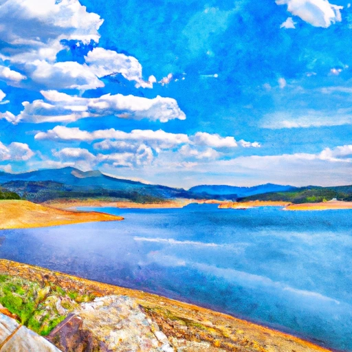
Crawford Reservoir is a popular recreational spot located near Crawford, Colorado.
Summary
The reservoir was constructed in 1976 as part of the Uncompahgre Valley Project, which aimed to provide irrigation water to the surrounding agricultural lands. The reservoir has a capacity of 8,290 acre-feet and is fed by two main sources - surface water flow from East Muddy Creek and snowpack melt from the West Elk Mountains. The reservoir provides water for agricultural uses in the nearby area, and also serves as a popular spot for fishing, boating, camping, and hiking. The reservoir is surrounded by scenic mountain views, including the breathtaking Needle Mountains.
°F
°F
mph
Wind
%
Humidity
15-Day Weather Outlook
Reservoir Details
| Lake Or Reservoir Water Surface Elevation Above Ngvd 1929, Ft 24hr Change | -0.01% |
| Percent of Normal | 100% |
| Minimum |
6,483.26 ft
2018-10-17 |
| Maximum |
6,553.73 ft
2023-06-03 |
| Average | 6,524 ft |
| Dam_Height | 162 |
| Hydraulic_Height | 144 |
| Drainage_Area | 52 |
| Year_Completed | 1962 |
| Nid_Storage | 18275 |
| Hazard_Potential | High |
| Structural_Height | 162 |
| River_Or_Stream | IRON CREEK |
| Foundations | Rock |
| Surface_Area | 406 |
| Outlet_Gates | Slide (sluice gate), Uncontrolled |
| Dam_Length | 580 |
| Primary_Dam_Type | Earth |
| Nid_Height | 162 |
Seasonal Comparison
Precipitation, Total, In Levels
Reservoir Storage, Acre-Ft Levels
Lake Or Reservoir Water Surface Elevation Above Ngvd 1929, Ft Levels
5-Day Hourly Forecast Detail
Nearby Streamflow Levels
Dam Data Reference
Condition Assessment
SatisfactoryNo existing or potential dam safety deficiencies are recognized. Acceptable performance is expected under all loading conditions (static, hydrologic, seismic) in accordance with the minimum applicable state or federal regulatory criteria or tolerable risk guidelines.
Fair
No existing dam safety deficiencies are recognized for normal operating conditions. Rare or extreme hydrologic and/or seismic events may result in a dam safety deficiency. Risk may be in the range to take further action. Note: Rare or extreme event is defined by the regulatory agency based on their minimum
Poor A dam safety deficiency is recognized for normal operating conditions which may realistically occur. Remedial action is necessary. POOR may also be used when uncertainties exist as to critical analysis parameters which identify a potential dam safety deficiency. Investigations and studies are necessary.
Unsatisfactory
A dam safety deficiency is recognized that requires immediate or emergency remedial action for problem resolution.
Not Rated
The dam has not been inspected, is not under state or federal jurisdiction, or has been inspected but, for whatever reason, has not been rated.
Not Available
Dams for which the condition assessment is restricted to approved government users.
Hazard Potential Classification
HighDams assigned the high hazard potential classification are those where failure or mis-operation will probably cause loss of human life.
Significant
Dams assigned the significant hazard potential classification are those dams where failure or mis-operation results in no probable loss of human life but can cause economic loss, environment damage, disruption of lifeline facilities, or impact other concerns. Significant hazard potential classification dams are often located in predominantly rural or agricultural areas but could be in areas with population and significant infrastructure.
Low
Dams assigned the low hazard potential classification are those where failure or mis-operation results in no probable loss of human life and low economic and/or environmental losses. Losses are principally limited to the owner's property.
Undetermined
Dams for which a downstream hazard potential has not been designated or is not provided.
Not Available
Dams for which the downstream hazard potential is restricted to approved government users.

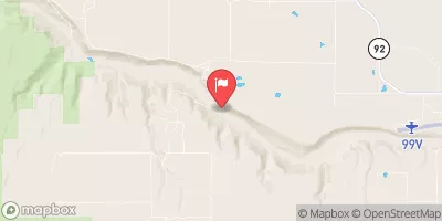
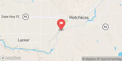
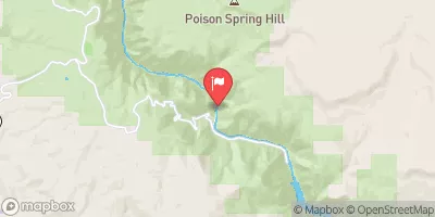
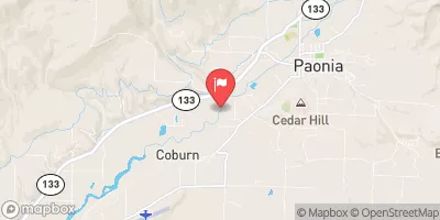
 Crawford State Park
 North Rim - Gunnison National Park
 North Rim Campground
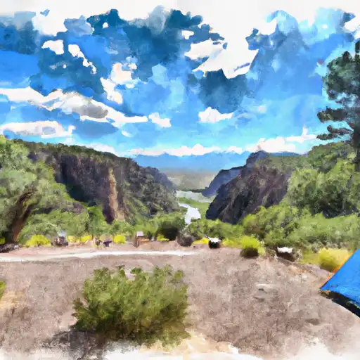 South Rim - Gunnison National Park
 South Rim Campground
 East Portal Campground
 Crawford
 Crawford Reservoir Near Crawford
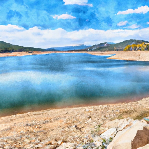 Crawford Reservoir
 The Painted Wall
To The Black Canyon Gunnison National Monument-Gunnison Gorge Wilderness Boundary
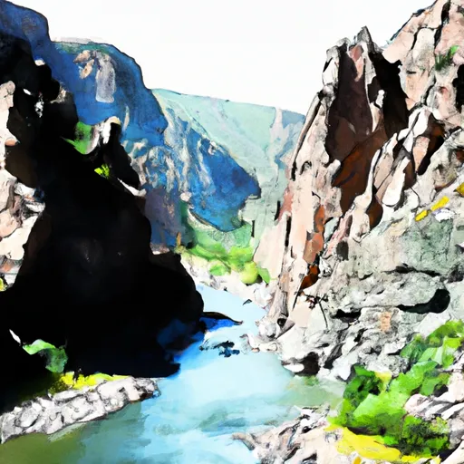 The Southern Boundary Of The Black Canyon Gunnison National Monument
To The Painted Wall
 Gunnison Gorge