Cucharas Reservoir Reservoir
As of July 20, 2026, Cucharas Reservoir is holding 59 acre-ft of water — 6% of normal storage for this date. Storage data refreshed throughout the day.

Cucharas Reservoir
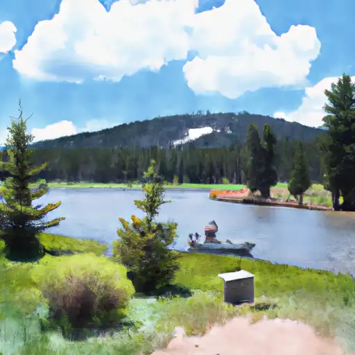
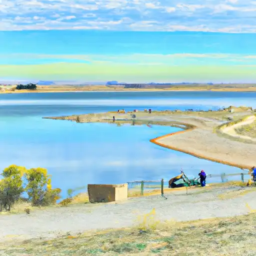
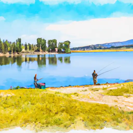
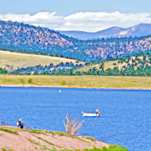
Cucharas Reservoir, located in southeastern Colorado, was constructed in the 1970s for irrigation purposes with a capacity of 16,000 acre-feet. The reservoir is fed by several small creeks and surface runoff from the surrounding terrain. The hydrology of the area is heavily influenced by snowpack accumulation in the nearby mountains, which provides the majority of the reservoir's water supply. The reservoir serves as a water source for irrigation of agricultural lands in the region, as well as for recreational activities such as fishing, boating, and camping. The surrounding area is also used for grazing livestock. In recent years, the reservoir has faced challenges with declining water levels due to drought and decreased snowpack, leading to increased concerns about its long-term viability as a water source for the area.
Daily levels at Cucharas Reservoir
Storage volume, pool elevation, and total release plotted from the operating agency's daily observations.
Storage
acre-ft · code 17
Plan around the weather
Same NOAA / yr.no feed Snoflo's iOS app uses. Watch the precipitation column on the meteogram -- rain on the basin upstream typically lifts inflow 24-72 hours later.
Next 5 days, hour by hour
Temperature line with weather symbols on top, snow + rain accumulation as columns, humidity as a dotted line.
5-day forecast table
Every 3 hours, broken out across temperature, snow, rain, humidity, and wind. Each cell is colour-coded relative to the column min/max.
| Time | Condition | Temp (°F) | Snow (in) | Rain (in) | Humidity (%) | Wind (mps) | Wind dir |
|---|---|---|---|---|---|---|---|
| Loading detailed forecast… | |||||||
15-day temperature & precipitation
Daily temperatures, snow, and rain projected over the next two weeks.
Nearby streamflow gauges
USGS streamgauges around Cucharas Reservoir -- inflows here typically show up in storage 24-72 hours later.
| Streamgauge | Discharge | View |
|---|---|---|
| Huerfano R Bl Huerf Valy Dam Nr Undercliffe | 0 cfs | → |
| Huerfano River At Badito | 0 cfs | → |
| Cucharas River At Boyd Ranch | 2 cfs | → |
| Arkansas River Tributary Above Hwy 227 At Pueblo | 24 cfs | → |
| Arkansas River At Moffat Street At Pueblo | 47 cfs | → |
| St. Charles River At Vineland | 2 cfs | → |


About Cucharas Reservoir
Where does the data for Cucharas Reservoir come from?
Daily storage, pool elevation, and release rates are sourced from USGS, USBR, and USACE monitoring stations. Weather forecast comes from NOAA / yr.no -- the same feed Snoflo's iOS app uses.
How often is the report updated?
Storage observations are updated daily by the operating agency. The 15-day weather forecast refreshes throughout the day. Snoflo caches and renders the most recent observation -- check the "as of" timestamp on the storage card.
What does the Hazard hazard rating mean?
The Corps of Engineers' hazard potential classification grades probable consequences if the dam fails: High = probable loss of human life; Significant = no probable loss of human life but possible economic loss / environmental damage; Low = no probable loss of human life, only minor economic / environmental losses. See the Dam Data Reference card below for the full definitions.
What's "% of normal"?
The current storage value compared to the historical average storage on this calendar day. 100% = right on average; values above 100% mean above-normal storage (wet year); values below mean below-normal (dry year or drought).
Can I get alerts when storage crosses a threshold?
Yes -- alerts are managed in the Snoflo iOS app. Favorite this reservoir, set a threshold, and you'll get a push the moment conditions cross.