
Summary
The dam stands at a height of 60 feet and stretches over a length of 45,000 feet, offering a storage capacity of 537,000 acre-feet. Despite being regulated by the Mine Safety and Health Administration, the dam is not under state jurisdiction or permitting, posing a high hazard potential due to its condition assessment being listed as "Not Available."
This Earth-type dam serves as a crucial structure for managing tailings in the area, although it lacks certain safety measures such as an Emergency Action Plan and updated inspection records. Given its location and design, North Tailings plays a vital role in water resource management in Tooele County. However, concerns about its high hazard potential and the lack of available risk assessment and management measures signal the need for increased oversight and maintenance to ensure the safety and integrity of the dam for both the local community and the environment.
For water resource and climate enthusiasts, North Tailings presents a fascinating case study in the intersection of private ownership, regulatory oversight, and environmental stewardship. As debates around water management and climate resilience continue to evolve, the story of North Tailings highlights the importance of proactive monitoring and maintenance of critical infrastructure to prevent potential hazards and ensure sustainable resource management for future generations.
Dam Length |
45000 |
Dam Height |
60 |
Primary Dam Type |
Earth |
Nid Storage |
537000 |
Hazard Potential |
High |
Nid Height |
60 |
Seasonal Comparison
Weather Forecast
Nearby Streamflow Levels
Dam Data Reference
Condition Assessment
SatisfactoryNo existing or potential dam safety deficiencies are recognized. Acceptable performance is expected under all loading conditions (static, hydrologic, seismic) in accordance with the minimum applicable state or federal regulatory criteria or tolerable risk guidelines.
Fair
No existing dam safety deficiencies are recognized for normal operating conditions. Rare or extreme hydrologic and/or seismic events may result in a dam safety deficiency. Risk may be in the range to take further action. Note: Rare or extreme event is defined by the regulatory agency based on their minimum
Poor A dam safety deficiency is recognized for normal operating conditions which may realistically occur. Remedial action is necessary. POOR may also be used when uncertainties exist as to critical analysis parameters which identify a potential dam safety deficiency. Investigations and studies are necessary.
Unsatisfactory
A dam safety deficiency is recognized that requires immediate or emergency remedial action for problem resolution.
Not Rated
The dam has not been inspected, is not under state or federal jurisdiction, or has been inspected but, for whatever reason, has not been rated.
Not Available
Dams for which the condition assessment is restricted to approved government users.
Hazard Potential Classification
HighDams assigned the high hazard potential classification are those where failure or mis-operation will probably cause loss of human life.
Significant
Dams assigned the significant hazard potential classification are those dams where failure or mis-operation results in no probable loss of human life but can cause economic loss, environment damage, disruption of lifeline facilities, or impact other concerns. Significant hazard potential classification dams are often located in predominantly rural or agricultural areas but could be in areas with population and significant infrastructure.
Low
Dams assigned the low hazard potential classification are those where failure or mis-operation results in no probable loss of human life and low economic and/or environmental losses. Losses are principally limited to the owner's property.
Undetermined
Dams for which a downstream hazard potential has not been designated or is not provided.
Not Available
Dams for which the downstream hazard potential is restricted to approved government users.
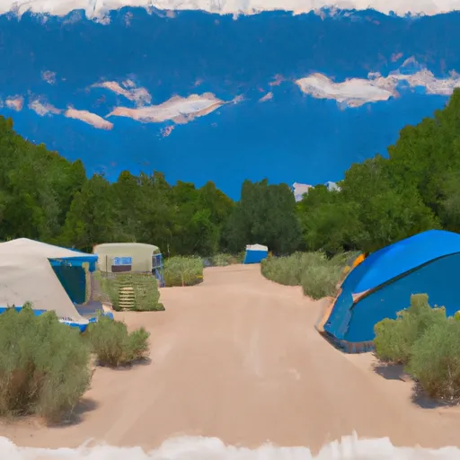
Area Campgrounds
| Location | Reservations | Toilets |
|---|---|---|
 Loop
Loop
|
||
 Loop Campground
|
||
 Upper Narrows
|
||
 Upper Narrows Campground
|
||
 Lower Narrows Campground
|
||
 Boy Scout Campground
|
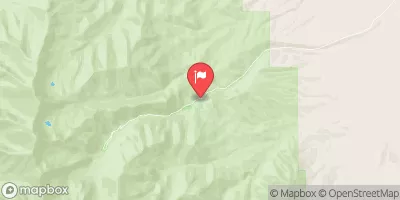
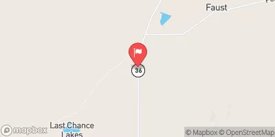
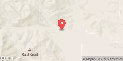
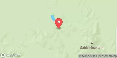
 North Tailings