Williams Fork Reservoir Reservoir Report
Nearby: Williams Fork Main Pheney
Last Updated: February 21, 2026
Williams Fork Reservoir is a man-made lake located in Grand County, Colorado.
Summary
It was created in 1959 by the construction of the Williams Fork Dam, which was built to provide hydroelectric power and irrigation water to the surrounding areas. The reservoir has a capacity of 97,000 acre-feet and is fed by the Williams Fork River and several small tributaries. The river's flow is highly variable, and the reservoir serves as a buffer against droughts and floods. The reservoir's water is also used for agriculture, including hay production and grazing. Recreation activities on the reservoir include fishing, boating, camping, and hiking. The area is also popular for snowmobiling and cross-country skiing during the winter months. The reservoir is managed by the Colorado River Water Conservation District.
°F
°F
mph
Wind
%
Humidity
15-Day Weather Outlook
Reservoir Details
| Storage 24hr Change | -0.1% |
| Percent of Normal | 76% |
| Minimum |
1,907.681 acre-ft
2010-09-30 |
| Maximum |
139,589.0 acre-ft
2010-06-22 |
| Average | 70,063 acre-ft |
| Dam_Height | 14 |
| Hydraulic_Height | 14 |
| Drainage_Area | 230 |
| Year_Completed | 1959 |
| Nid_Storage | 96800 |
| Structural_Height | 14 |
| Primary_Dam_Type | Earth |
| Surface_Area | 1700 |
| River_Or_Stream | Williams Fork River |
| Dam_Length | 2000 |
| Hazard_Potential | Low |
| Nid_Height | 14 |
Seasonal Comparison
Storage Levels
Storage Levels
Pool Elevation Levels
5-Day Hourly Forecast Detail
Nearby Streamflow Levels
Dam Data Reference
Condition Assessment
SatisfactoryNo existing or potential dam safety deficiencies are recognized. Acceptable performance is expected under all loading conditions (static, hydrologic, seismic) in accordance with the minimum applicable state or federal regulatory criteria or tolerable risk guidelines.
Fair
No existing dam safety deficiencies are recognized for normal operating conditions. Rare or extreme hydrologic and/or seismic events may result in a dam safety deficiency. Risk may be in the range to take further action. Note: Rare or extreme event is defined by the regulatory agency based on their minimum
Poor A dam safety deficiency is recognized for normal operating conditions which may realistically occur. Remedial action is necessary. POOR may also be used when uncertainties exist as to critical analysis parameters which identify a potential dam safety deficiency. Investigations and studies are necessary.
Unsatisfactory
A dam safety deficiency is recognized that requires immediate or emergency remedial action for problem resolution.
Not Rated
The dam has not been inspected, is not under state or federal jurisdiction, or has been inspected but, for whatever reason, has not been rated.
Not Available
Dams for which the condition assessment is restricted to approved government users.
Hazard Potential Classification
HighDams assigned the high hazard potential classification are those where failure or mis-operation will probably cause loss of human life.
Significant
Dams assigned the significant hazard potential classification are those dams where failure or mis-operation results in no probable loss of human life but can cause economic loss, environment damage, disruption of lifeline facilities, or impact other concerns. Significant hazard potential classification dams are often located in predominantly rural or agricultural areas but could be in areas with population and significant infrastructure.
Low
Dams assigned the low hazard potential classification are those where failure or mis-operation results in no probable loss of human life and low economic and/or environmental losses. Losses are principally limited to the owner's property.
Undetermined
Dams for which a downstream hazard potential has not been designated or is not provided.
Not Available
Dams for which the downstream hazard potential is restricted to approved government users.

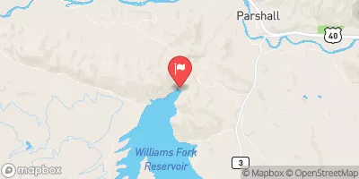
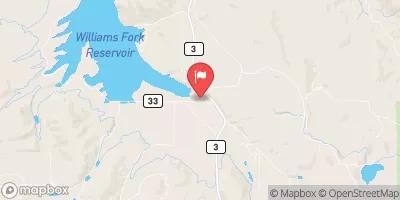
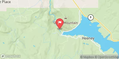
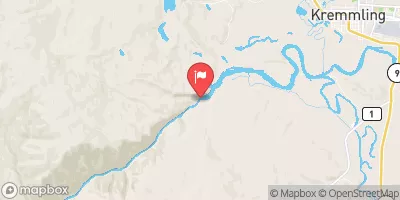
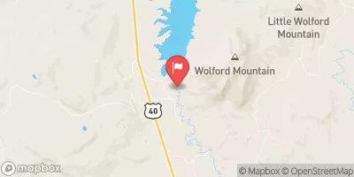
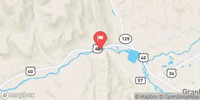
 Williams Fork Reservoir - SWA
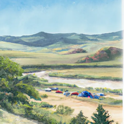 Beaver Creek Unti - Hot Sulphur State Wildlife Area
 Pioneer Park Campground/Day Use
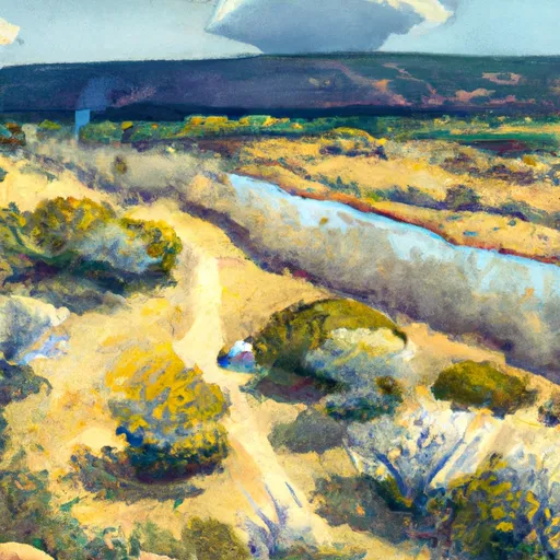 Mule Creek - Skylark Rec Area
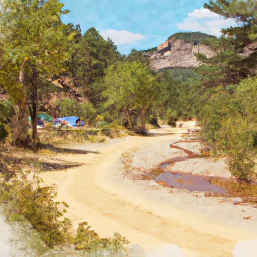 Mule Creek - Skylark Rec Area Campground
 Morgan Gulch Rec Site Camping
 Williams Fork West Dike
 Williams Fork Reservoir
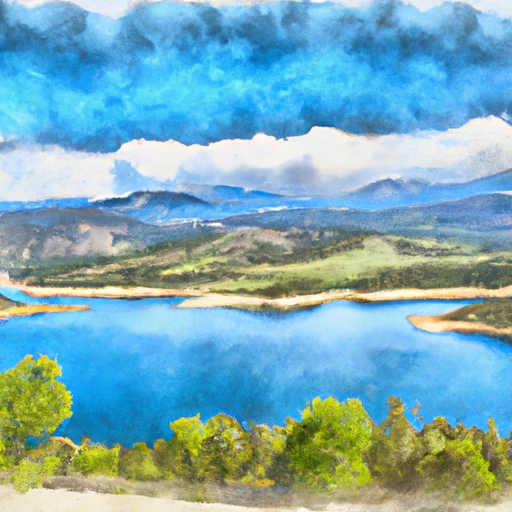 Green Mountain Reservoir
 Gore Canyon
 Lower Blue (Green Mountain to Spring Creek)
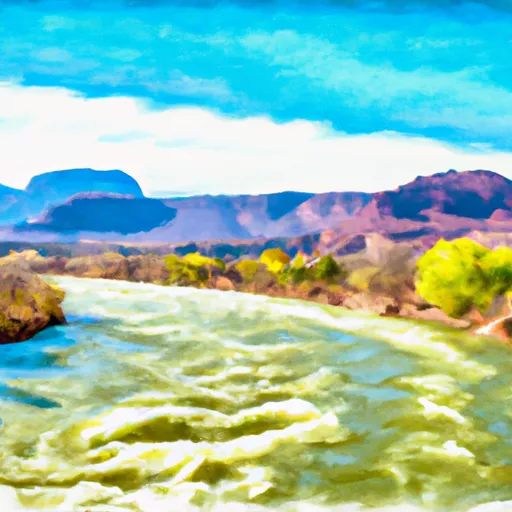 Colorado River Segment 4