
WELCOME
Snoflo is the ultimate platform for outdoor enthusiasts and climate-conscious individuals. We offer climate data, weather forecasts, and the best recreation spots nearby. Explore more, impact less with Snoflo. Learn More.


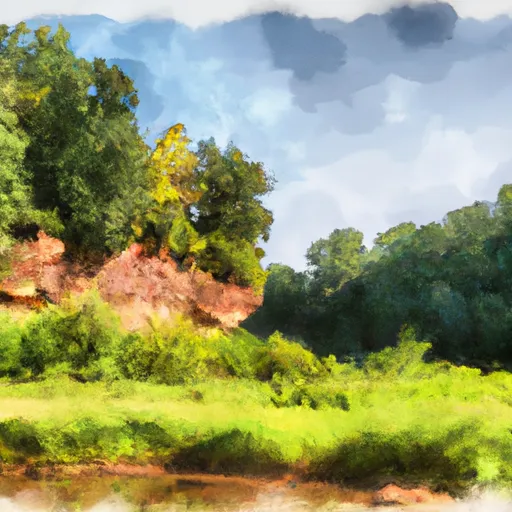
Milton Carter
Reservoir Levels • Weather • Hydrology
Milton Carter is a privately owned dam located in Goshen, Alabama, along the TR-Indian Creek. Built in 1968, this Earth-type dam stands at a structural height of 20 feet and has a hydraulic height of 19 feet. The primary purpose of Milton Carter is for fire protection, stock, or small fish pond, with additional recreational benefits. The dam has a storage capacity of 110 acre-feet and a maximum discharge rate of 180 cubic feet per second, making it a crucial resource for the local community.
Despite its low hazard potential and current condition being not rated, Milton Carter serves as a vital water resource for fire protection and recreational activities in Pike County, Alabama. Its location in the Mobile District under Congressional District 02 provides essential infrastructure for the area's water management needs. The dam's strategic placement and design make it an integral part of the local ecosystem, supporting wildlife and providing water storage for various purposes.
As a privately owned structure, Milton Carter does not fall under federal regulatory agencies' jurisdiction, and it is not state-regulated or permitted. However, its role in water management and conservation in the region cannot be understated. With its long history of service since the late 1960s, Milton Carter continues to be a valuable asset for the community, showcasing the importance of private investments in water resource infrastructure for sustainable development.
May 16, 2024
°
°
mph
Windspeed
%
Humidity
Explore the Interactive Map
View recreational hotspots like fishing, camping, and parks, alongside climate-related data such as river levels, snowpack, and weather forecasts. Enjoy 3D mapping for an immersive experience, and switch to satellite view for a detailed look at your favorite spots. Simply click, explore, and discover nature like never before!

Popular Camping Destinations
| Camping Area | Campsites | Reservations | Toilets | Showers | Elevation |
|---|---|---|---|---|---|
| Bledsoe Creek State Park | 57 | 609 ft | |||
| Seven Points - J. Percy Priest Reservoir | 60 | 521 ft | |||
| Standing Stone State Rustic Park | 36 | 986 ft | |||
| Edgar Evins State Park | 60 | 929 ft | |||
| Cedar Creek - Old Hickory Lake | 60 | 459 ft | |||
| Long Branch - Center Hill Lake | 60 | 818 ft | |||
| Dale Hollow Dam - Dale Hollow Lake | 78 | 556 ft | |||
| Salt Lick Creek - Cordell Hull Lake | 145 | 574 ft | |||
| Defeated Creek - Cordell Hull Lake | 155 | 527 ft | |||
| Cages Bend - Old Hickory Lake | 43 | 477 ft |
Points of Interest
You Might Like
Explore Nearby Places
There is no Bucks Pocket State Park in the state of Indiana. However, there is a Buck Creek State Park in Ohio, which may be the intended location. Buck Creek State Park is a popular destination for outdoor enthusiasts, offering a range of recreational activities such as hiking, fishing, boating, and camping. The park covers over 4,000 acres and is located on the shores of Buck Creek Reservoir. One of the main attractions at Buck Creek State Park is the 2,120-acre lake, which provides ample opportunities for fishing, boating, and swimming. The park also features over 7 miles of hiking ...