
Riggs Flat Reservoir Report
Nearby: Frye Mesa Cluff Ranch #3
Last Updated: December 24, 2025
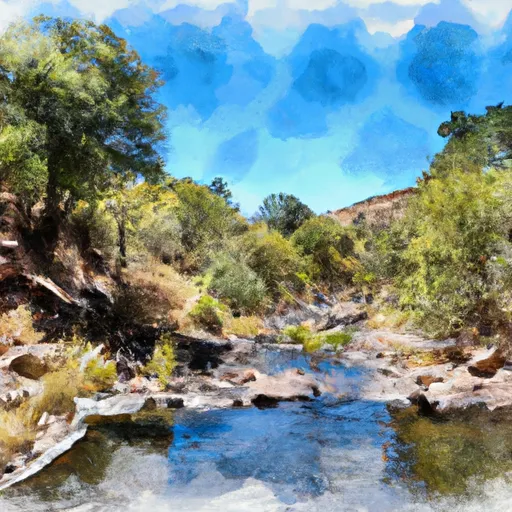
Riggs Flat is a state-regulated water resource located in Graham, Arizona, with a primary purpose of recreation.
°F
°F
mph
Wind
%
Humidity
Summary
The dam, completed in 1951, stands at a height of 45 feet and has a storage capacity of 155 acre-feet. The reservoir covers an area of 11 acres and is fed by Grant Creek, providing a tranquil setting for outdoor enthusiasts to enjoy water-based activities.
Managed by the Arizona Department of Water Resources, Riggs Flat has a low hazard potential and is categorized as having a moderate risk level. The dam features an uncontrolled spillway with a width of 20 feet, capable of handling a maximum discharge of 400 cubic feet per second. The structure is inspected every five years, with the last assessment conducted in December 2013.
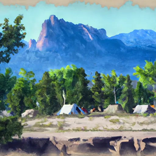
With its scenic location and recreational opportunities, Riggs Flat serves as a popular destination for those interested in water resources and climate. Visitors can experience the beauty of the surrounding landscape while appreciating the engineering feat of the earth dam that creates this peaceful reservoir in the heart of Arizona's natural beauty.
Year Completed |
1951 |
Dam Length |
390 |
Dam Height |
45 |
River Or Stream |
GRANT CREEK - TR |
Primary Dam Type |
Earth |
Surface Area |
11 |
Hydraulic Height |
45 |
Drainage Area |
0.55 |
Nid Storage |
155 |
Hazard Potential |
Low |
Foundations |
Rock |
Nid Height |
45 |
Seasonal Comparison
Weather Forecast
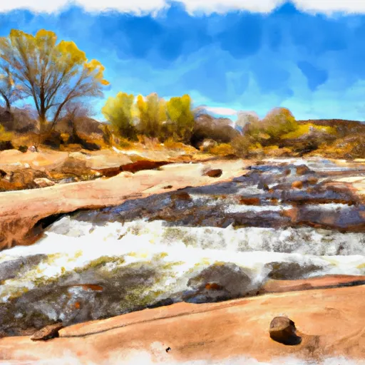
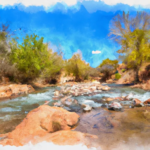
Nearby Streamflow Levels
Dam Data Reference
Condition Assessment
SatisfactoryNo existing or potential dam safety deficiencies are recognized. Acceptable performance is expected under all loading conditions (static, hydrologic, seismic) in accordance with the minimum applicable state or federal regulatory criteria or tolerable risk guidelines.
Fair
No existing dam safety deficiencies are recognized for normal operating conditions. Rare or extreme hydrologic and/or seismic events may result in a dam safety deficiency. Risk may be in the range to take further action. Note: Rare or extreme event is defined by the regulatory agency based on their minimum
Poor A dam safety deficiency is recognized for normal operating conditions which may realistically occur. Remedial action is necessary. POOR may also be used when uncertainties exist as to critical analysis parameters which identify a potential dam safety deficiency. Investigations and studies are necessary.
Unsatisfactory
A dam safety deficiency is recognized that requires immediate or emergency remedial action for problem resolution.
Not Rated
The dam has not been inspected, is not under state or federal jurisdiction, or has been inspected but, for whatever reason, has not been rated.
Not Available
Dams for which the condition assessment is restricted to approved government users.
Hazard Potential Classification
HighDams assigned the high hazard potential classification are those where failure or mis-operation will probably cause loss of human life.
Significant
Dams assigned the significant hazard potential classification are those dams where failure or mis-operation results in no probable loss of human life but can cause economic loss, environment damage, disruption of lifeline facilities, or impact other concerns. Significant hazard potential classification dams are often located in predominantly rural or agricultural areas but could be in areas with population and significant infrastructure.
Low
Dams assigned the low hazard potential classification are those where failure or mis-operation results in no probable loss of human life and low economic and/or environmental losses. Losses are principally limited to the owner's property.
Undetermined
Dams for which a downstream hazard potential has not been designated or is not provided.
Not Available
Dams for which the downstream hazard potential is restricted to approved government users.
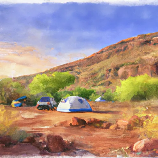
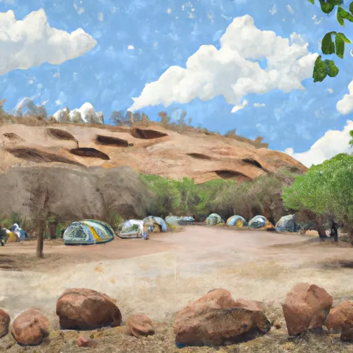
Area Campgrounds
| Location | Reservations | Toilets |
|---|---|---|
 Riggs Flat Campground
|
||
 Riggs Flat
|
||
 Clark Peak Corrals
|
||
 Soldier Creek Campground
|
||
 Columbine Corrals Campground
|
||
 Columbine Corrals
|
 Riggs Flat
 Headwaters To Diversion For Cluff Ranch
 Headwaters To Confluence With Grant Creek
 Headwaters To Diversion Approximately 0.75 Mile From Coronado National Forest Boundary