


San Simon Fan Drop Structure Detention Dam
Reservoir Levels • Weather • Hydrology
The San Simon Fan Drop Structure Detention Dam in Solomon, Arizona, is a Federal-owned gravity dam constructed in 1953 by the Bureau of Land Management. Designed for the primary purpose of creating a Fish and Wildlife Pond along the San Simon River, this dam stands at a structural height of 26 feet and has a hydraulic height of 23 feet. With a storage capacity of 3373.2 acre-feet and a surface area of 594 acres, this dam serves as a vital resource for supporting the local ecosystem.
Despite being classified as having a low hazard potential, the dam's condition assessment is deemed poor, indicating a need for maintenance and monitoring. The last inspection conducted in 2009 revealed the need for improvements, suggesting a risk management measure to address the moderate risk associated with this structure. With a history of Federal funding and oversight by the Bureau of Land Management, ensuring the safety and functionality of the San Simon Fan Drop Structure Detention Dam remains a priority for water resource and climate enthusiasts in the region.
As enthusiasts of water resources and climate, it is crucial to recognize the significance of the San Simon Fan Drop Structure Detention Dam in supporting local wildlife and ecosystems. With its historical importance as a Federal-owned structure designed for fish and wildlife conservation, this gravity dam serves a vital role in water storage and management. As efforts continue to address its poor condition assessment and moderate risk level, maintaining the integrity of this dam is essential for safeguarding the surrounding environment and ensuring sustainable water resource practices in the area.
May 19, 2024
°F
°F
mph
Windspeed
%
Humidity
Explore the Interactive Map
View recreational hotspots like fishing, camping, and parks, alongside climate-related data such as river levels, snowpack, and weather forecasts. Enjoy 3D mapping for an immersive experience, and switch to satellite view for a detailed look at your favorite spots. Simply click, explore, and discover nature like never before!

Popular Camping Destinations
| Camping Area | Campsites | Reservations | Toilets | Showers | Elevation |
|---|---|---|---|---|---|
| Rolfe C. Hoyer | 91 | 8,320 ft | |||
| Grayling | 23 | 9,050 ft | |||
| McCoy Bridge | 10 | 7,762 ft | |||
| Sunrise Lake | 200 | 9,341 ft | |||
| Gabaldon | Numerous | 9,402 ft | |||
| Horseshoe Cienega | 70 | 8,226 ft | |||
| Benny Creek | 24 | 8,261 ft | |||
| Lower Log | 100 | 6,153 ft | |||
| Winn | 63 | 9,320 ft | |||
| Hawley Lake | 100 | 8,194 ft |
Points of Interest
You Might Like
Explore Nearby Places
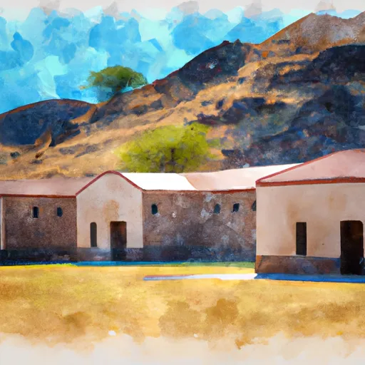 Fort Bowie National Historic Site
Fort Bowie National Historic Site is located in southeastern Arizona and is a significant site for the history and culture of the United States. The site is known for its significance during the Apache Wars and the Battle of Apache Pass. Visitors to the site can explore the remains of the fort, hike the scenic trails, and learn about the history of the area. One of the main reasons to visit Fort Bowie National Historic Site is to learn about the history of the United States in relation to the Apache Wars and the Battle of Apache Pass. Visitors can ...