
Silt Pond Reservoir Report
Nearby: Sinaloa Lake Sycamore Canyon
Last Updated: December 21, 2025
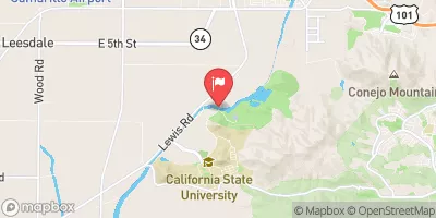
Silt Pond is a privately owned water resource located in Moorpark, California.
°F
°F
mph
Wind
%
Humidity
Summary
This Earth dam structure stands at a height of 80 feet and has a length of 400 feet, providing a storage capacity of 20 acre-feet. While the primary purpose of Silt Pond is listed as 'Other,' its high hazard potential warrants attention from climate and water resource enthusiasts.
Managed by the Mine Safety and Health Administration, Silt Pond poses a significant risk due to its high hazard potential. Despite its critical condition assessment status being marked as 'Not Available,' the structure's emergency action plan and risk management measures are not currently documented. With no recent inspection date provided, it is crucial for stakeholders to monitor and assess the safety and functionality of Silt Pond to ensure the protection of surrounding areas and water resources in Ventura County.
Dam Length |
400 |
Dam Height |
80 |
Primary Dam Type |
Earth |
Nid Storage |
20 |
Hazard Potential |
High |
Nid Height |
80 |
Seasonal Comparison
Weather Forecast
Nearby Streamflow Levels
Dam Data Reference
Condition Assessment
SatisfactoryNo existing or potential dam safety deficiencies are recognized. Acceptable performance is expected under all loading conditions (static, hydrologic, seismic) in accordance with the minimum applicable state or federal regulatory criteria or tolerable risk guidelines.
Fair
No existing dam safety deficiencies are recognized for normal operating conditions. Rare or extreme hydrologic and/or seismic events may result in a dam safety deficiency. Risk may be in the range to take further action. Note: Rare or extreme event is defined by the regulatory agency based on their minimum
Poor A dam safety deficiency is recognized for normal operating conditions which may realistically occur. Remedial action is necessary. POOR may also be used when uncertainties exist as to critical analysis parameters which identify a potential dam safety deficiency. Investigations and studies are necessary.
Unsatisfactory
A dam safety deficiency is recognized that requires immediate or emergency remedial action for problem resolution.
Not Rated
The dam has not been inspected, is not under state or federal jurisdiction, or has been inspected but, for whatever reason, has not been rated.
Not Available
Dams for which the condition assessment is restricted to approved government users.
Hazard Potential Classification
HighDams assigned the high hazard potential classification are those where failure or mis-operation will probably cause loss of human life.
Significant
Dams assigned the significant hazard potential classification are those dams where failure or mis-operation results in no probable loss of human life but can cause economic loss, environment damage, disruption of lifeline facilities, or impact other concerns. Significant hazard potential classification dams are often located in predominantly rural or agricultural areas but could be in areas with population and significant infrastructure.
Low
Dams assigned the low hazard potential classification are those where failure or mis-operation results in no probable loss of human life and low economic and/or environmental losses. Losses are principally limited to the owner's property.
Undetermined
Dams for which a downstream hazard potential has not been designated or is not provided.
Not Available
Dams for which the downstream hazard potential is restricted to approved government users.
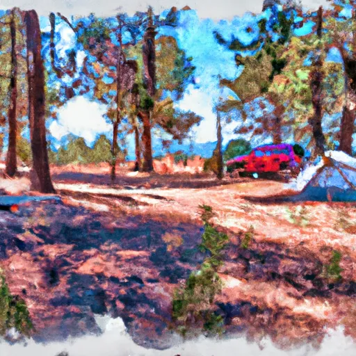
Area Campgrounds
| Location | Reservations | Toilets |
|---|---|---|
 Oak Park
|
||
 Kenney Grove County Park
|
||
 Tapo Canyon Co Park
|
||
 Ventura ranch koa
|
||
 Lake Piru State Rec Area
|
||
 Steckel Co Park
|
 Silt Pond
 Lk Piru Nr Piru Ca
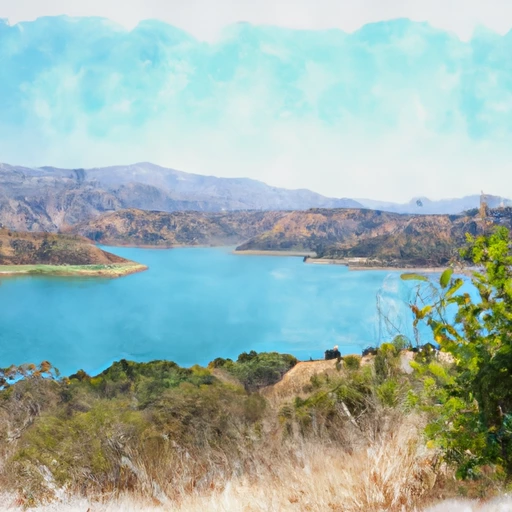 Lake Piru