
Boles Meadow Reservoir Report
Last Updated: December 23, 2025
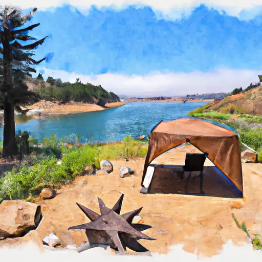
Boles Meadow in Modoc, California is a federally owned Fish and Wildlife Pond managed by the USDA Forest Service.
°F
°F
mph
Wind
%
Humidity
Summary
Built in 1986, the earth dam stands at a height of 8 feet with a length of 945 feet, providing a storage capacity of 5000 acre-feet. The dam's primary purpose is for fish and wildlife conservation, with additional functions for fire protection, stock watering, and small fish habitat.
Despite being rated as low hazard potential, the dam at Boles Meadow is categorized as having a very high risk due to its location and structural characteristics. The last inspection took place in 2010, with a frequency of every 10 years. The spillway, equipped with a controlled design and 100-foot width, ensures proper water management in case of overflow. With a designated emergency action plan and a sluice gate outlet, the site is well-prepared to handle any potential risks.
Water resource and climate enthusiasts will appreciate Boles Meadow's role in supporting diverse ecosystems and habitats in the region. As a crucial water source for wildlife and a protective barrier against wildfires, the dam at Boles Meadow serves as a model for sustainable water management practices in California. Its strategic design, federal ownership, and monitoring protocols highlight the importance of preserving and maintaining water resources for future generations to come.
Year Completed |
1986 |
Dam Length |
945 |
Dam Height |
8 |
Primary Dam Type |
Earth |
Nid Storage |
5000 |
Structural Height |
8 |
Outlet Gates |
Slide (sluice gate) |
Hazard Potential |
Low |
Nid Height |
8 |
Seasonal Comparison
Weather Forecast
Nearby Streamflow Levels
 Pit R Nr Canby Ca
|
663cfs |
 Sf Pit R Nr Likely Ca
|
41cfs |
 Klamath Straits Drain Near Worden
|
6cfs |
 Ady Canal At Highway 97
|
0cfs |
 North Canal At Highway 97
|
8cfs |
 Link River At Klamath Falls
|
424cfs |
Dam Data Reference
Condition Assessment
SatisfactoryNo existing or potential dam safety deficiencies are recognized. Acceptable performance is expected under all loading conditions (static, hydrologic, seismic) in accordance with the minimum applicable state or federal regulatory criteria or tolerable risk guidelines.
Fair
No existing dam safety deficiencies are recognized for normal operating conditions. Rare or extreme hydrologic and/or seismic events may result in a dam safety deficiency. Risk may be in the range to take further action. Note: Rare or extreme event is defined by the regulatory agency based on their minimum
Poor A dam safety deficiency is recognized for normal operating conditions which may realistically occur. Remedial action is necessary. POOR may also be used when uncertainties exist as to critical analysis parameters which identify a potential dam safety deficiency. Investigations and studies are necessary.
Unsatisfactory
A dam safety deficiency is recognized that requires immediate or emergency remedial action for problem resolution.
Not Rated
The dam has not been inspected, is not under state or federal jurisdiction, or has been inspected but, for whatever reason, has not been rated.
Not Available
Dams for which the condition assessment is restricted to approved government users.
Hazard Potential Classification
HighDams assigned the high hazard potential classification are those where failure or mis-operation will probably cause loss of human life.
Significant
Dams assigned the significant hazard potential classification are those dams where failure or mis-operation results in no probable loss of human life but can cause economic loss, environment damage, disruption of lifeline facilities, or impact other concerns. Significant hazard potential classification dams are often located in predominantly rural or agricultural areas but could be in areas with population and significant infrastructure.
Low
Dams assigned the low hazard potential classification are those where failure or mis-operation results in no probable loss of human life and low economic and/or environmental losses. Losses are principally limited to the owner's property.
Undetermined
Dams for which a downstream hazard potential has not been designated or is not provided.
Not Available
Dams for which the downstream hazard potential is restricted to approved government users.
Area Campgrounds
| Location | Reservations | Toilets |
|---|---|---|
 Reservoir C Campground
|
||
 Reservoir C
|
||
 Reservoir F
|
||
 Reservoir F Campground
|
||
 Janes Reservoir
|
||
 Jane's Reservoir Campground
|
 Boles Meadow
 Sally'S Camp To Confluence With Willow Creek
 Wilcox Spring To Clear Lake National Wildlife Refuge Boundary