


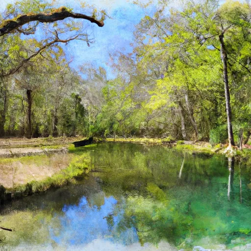
Hinesville Waste Pond
Reservoir Levels • Weather • Hydrology
Hinesville Waste Pond in Hinesville, Georgia, is a local government-owned structure with a primary purpose that remains unspecified. This Earth-type dam, with a buttress core, stands at a height of 9.6 feet and has a hydraulic height of 6.8 feet. It spans a length of 4175 feet and has a storage capacity of 112 acre-feet, with a normal storage level of 65 acre-feet.
Despite being unregulated by the state, the dam's hazard potential is currently deemed undetermined, and its condition assessment is marked as "Not Rated." The risk assessment for the Hinesville Waste Pond indicates a moderate risk level (3). With no recent inspection or emergency action plan in place, the structure's risk management measures and preparedness for potential inundation events are not clearly outlined.
For water resource and climate enthusiasts interested in the Hinesville Waste Pond, its unique design features and moderate risk level present an intriguing case study. The lack of state regulation and formal assessments raise questions about the structure's safety and management practices, highlighting the importance of ongoing monitoring and evaluation for such vital water infrastructure.
May 21, 2024
°F
°F
mph
Windspeed
%
Humidity
| Dam_Height | 9.6 |
| Dam_Length | 4175 |
| Primary_Dam_Type | Earth |
| Surface_Area | 26 |
| Hydraulic_Height | 6.8 |
| Nid_Storage | 112 |
| Outlet_Gates | Uncontrolled |
| Hazard_Potential | Undetermined |
| Foundations | Unlisted/Unknown |
| Nid_Height | 10 |
Explore the Interactive Map
View recreational hotspots like fishing, camping, and parks, alongside climate-related data such as river levels, snowpack, and weather forecasts. Enjoy 3D mapping for an immersive experience, and switch to satellite view for a detailed look at your favorite spots. Simply click, explore, and discover nature like never before!

Fishing Areas
You Might Like
Explore Nearby Places
Magnolia Springs State Park is a beautiful park located in Jenkins County, Georgia. There are several reasons to visit this park, including its natural beauty, rich history, and recreational offerings. The park is situated around a crystal-clear spring that has been an important source of water for the surrounding area for centuries. Visitors can enjoy fishing, swimming, and boating on the spring-fed lake. One of the main points of interest at Magnolia Springs State Park is the historic water mill, which dates back to the 1860s. The mill has been restored and is now open to the public as a ...