
Iowa Noname50 Reservoir Report
Last Updated: December 24, 2025
Iowa Noname50 is a local government-owned dam located in Maxwell, Iowa, along the TR-East Indian Creek.
°F
°F
mph
Wind
%
Humidity
Summary
Built in 1971 by USDA SCS, this earth dam serves multiple purposes including fire protection, stock, and a small fish pond with a storage capacity of 60 acre-feet. The dam stands at a height of 24 feet and spans a length of 716 feet, covering a surface area of 2.6 acres and draining a 0.48 square mile watershed.
Managed by the Iowa DNR, Iowa Noname50 is regulated, permitted, inspected, and enforced by the state agency to ensure its structural integrity and safety. The dam has a low hazard potential and a moderate risk assessment rating. Although it is not currently rated for its condition, the dam's risk management measures are in place to mitigate any potential risks associated with its operation. With its location in Story County, Iowa, this dam plays a crucial role in local water resource management and climate resilience efforts in the region.
For water resource and climate enthusiasts, Iowa Noname50 presents an intriguing case study of a locally-managed dam with various purposes and a modest storage capacity. The dam's design and construction by USDA SCS, along with its regulation by the Iowa DNR, showcase the collaborative efforts involved in maintaining water infrastructure for fire protection, agriculture, and environmental conservation. As a low-hazard structure with a moderate risk assessment, Iowa Noname50 exemplifies the importance of proactive risk management in ensuring the safety and functionality of water storage facilities in Iowa's landscape.
Year Completed |
1971 |
Dam Length |
716 |
Dam Height |
24 |
River Or Stream |
TR-EAST INDIAN CREEK |
Primary Dam Type |
Earth |
Surface Area |
2.6 |
Drainage Area |
0.48 |
Nid Storage |
60 |
Hazard Potential |
Low |
Foundations |
Soil |
Nid Height |
24 |
Seasonal Comparison
Weather Forecast
Nearby Streamflow Levels
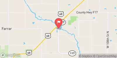 Indian Creek Near Mingo
|
79cfs |
 South Skunk River Below Squaw Creek Near Ames
|
130cfs |
 Squaw Creek At Ames
|
53cfs |
 South Skunk River Near Ames
|
92cfs |
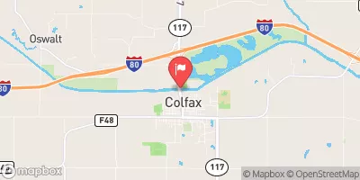 South Skunk River At Colfax
|
211cfs |
 Fourmile Creek Near Ankeny
|
9cfs |
Dam Data Reference
Condition Assessment
SatisfactoryNo existing or potential dam safety deficiencies are recognized. Acceptable performance is expected under all loading conditions (static, hydrologic, seismic) in accordance with the minimum applicable state or federal regulatory criteria or tolerable risk guidelines.
Fair
No existing dam safety deficiencies are recognized for normal operating conditions. Rare or extreme hydrologic and/or seismic events may result in a dam safety deficiency. Risk may be in the range to take further action. Note: Rare or extreme event is defined by the regulatory agency based on their minimum
Poor A dam safety deficiency is recognized for normal operating conditions which may realistically occur. Remedial action is necessary. POOR may also be used when uncertainties exist as to critical analysis parameters which identify a potential dam safety deficiency. Investigations and studies are necessary.
Unsatisfactory
A dam safety deficiency is recognized that requires immediate or emergency remedial action for problem resolution.
Not Rated
The dam has not been inspected, is not under state or federal jurisdiction, or has been inspected but, for whatever reason, has not been rated.
Not Available
Dams for which the condition assessment is restricted to approved government users.
Hazard Potential Classification
HighDams assigned the high hazard potential classification are those where failure or mis-operation will probably cause loss of human life.
Significant
Dams assigned the significant hazard potential classification are those dams where failure or mis-operation results in no probable loss of human life but can cause economic loss, environment damage, disruption of lifeline facilities, or impact other concerns. Significant hazard potential classification dams are often located in predominantly rural or agricultural areas but could be in areas with population and significant infrastructure.
Low
Dams assigned the low hazard potential classification are those where failure or mis-operation results in no probable loss of human life and low economic and/or environmental losses. Losses are principally limited to the owner's property.
Undetermined
Dams for which a downstream hazard potential has not been designated or is not provided.
Not Available
Dams for which the downstream hazard potential is restricted to approved government users.
 Iowa Noname50