
Dane Ridge Watershed Site D-1-7 Reservoir Report
Last Updated: December 22, 2025
Located in Crawford, Iowa, the Dane Ridge Watershed Site D-1-7 is a vital water management infrastructure designed by the USDA NRCS in 1978.
°F
°F
mph
Wind
%
Humidity
Summary
This local government-owned earth dam serves multiple purposes including fire protection, stock and small fish pond, flood risk reduction, and recreation. With a dam height of 41 feet and a storage capacity of 315 acre-feet, this structure plays a crucial role in managing water resources in the area.
Situated along the TR-Welsh Creek, the Dane Ridge Watershed Site D-1-7 covers a drainage area of 1.7 square miles and has a surface area of 14.8 acres. Despite its low hazard potential and moderate risk assessment, its condition remains unrated. Operated and maintained by the Iowa Department of Natural Resources, this dam is regulated, permitted, inspected, and enforced by state authorities to ensure its structural integrity and safety for nearby residents and wildlife.
With its strategic location and multifunctional design, the Dane Ridge Watershed Site D-1-7 stands as a prime example of sustainable water resource management in Iowa. Its contribution to fire protection, flood risk reduction, and recreation underscores the importance of investing in resilient infrastructure to adapt to the changing climate and safeguard communities against natural disasters.
Year Completed |
1978 |
Dam Length |
480 |
Dam Height |
41 |
River Or Stream |
TR-WELSH CREEK |
Primary Dam Type |
Earth |
Surface Area |
14.8 |
Drainage Area |
1.7 |
Nid Storage |
315 |
Hazard Potential |
Low |
Foundations |
Soil |
Nid Height |
41 |
Seasonal Comparison
Weather Forecast
Nearby Streamflow Levels
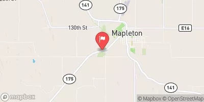 Maple River At Mapleton
|
323cfs |
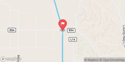 Little Sioux River Near Turin
|
1040cfs |
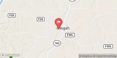 Soldier River At Pisgah
|
112cfs |
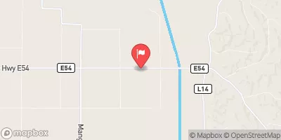 Monona-Harrison Ditch Near Turin
|
158cfs |
 Boyer River At Logan
|
417cfs |
 West Fork Ditch At Hornick
|
80cfs |
Dam Data Reference
Condition Assessment
SatisfactoryNo existing or potential dam safety deficiencies are recognized. Acceptable performance is expected under all loading conditions (static, hydrologic, seismic) in accordance with the minimum applicable state or federal regulatory criteria or tolerable risk guidelines.
Fair
No existing dam safety deficiencies are recognized for normal operating conditions. Rare or extreme hydrologic and/or seismic events may result in a dam safety deficiency. Risk may be in the range to take further action. Note: Rare or extreme event is defined by the regulatory agency based on their minimum
Poor A dam safety deficiency is recognized for normal operating conditions which may realistically occur. Remedial action is necessary. POOR may also be used when uncertainties exist as to critical analysis parameters which identify a potential dam safety deficiency. Investigations and studies are necessary.
Unsatisfactory
A dam safety deficiency is recognized that requires immediate or emergency remedial action for problem resolution.
Not Rated
The dam has not been inspected, is not under state or federal jurisdiction, or has been inspected but, for whatever reason, has not been rated.
Not Available
Dams for which the condition assessment is restricted to approved government users.
Hazard Potential Classification
HighDams assigned the high hazard potential classification are those where failure or mis-operation will probably cause loss of human life.
Significant
Dams assigned the significant hazard potential classification are those dams where failure or mis-operation results in no probable loss of human life but can cause economic loss, environment damage, disruption of lifeline facilities, or impact other concerns. Significant hazard potential classification dams are often located in predominantly rural or agricultural areas but could be in areas with population and significant infrastructure.
Low
Dams assigned the low hazard potential classification are those where failure or mis-operation results in no probable loss of human life and low economic and/or environmental losses. Losses are principally limited to the owner's property.
Undetermined
Dams for which a downstream hazard potential has not been designated or is not provided.
Not Available
Dams for which the downstream hazard potential is restricted to approved government users.
 Dane Ridge Watershed Site D-1-7