
Lower Dunbar Dam Reservoir Report
Last Updated: December 23, 2025
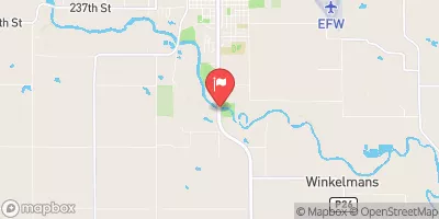
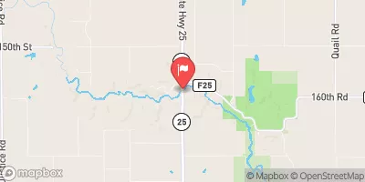
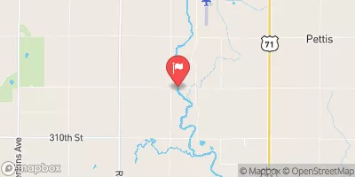
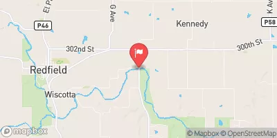
Lower Dunbar Dam, located in Greene, Iowa, was completed in 1996 and serves primarily for recreational purposes.
°F
°F
mph
Wind
%
Humidity
Summary
Designed by Eric Horlyk, this earth dam stands at 7 feet high and spans a length of 3200 feet, with a storage capacity of 189 acre-feet. Situated on the TR-WILLOW CREEK, this dam is state-regulated by the Iowa Department of Natural Resources, ensuring its inspection, permitting, and enforcement are in compliance with state regulations.
With a low hazard potential and a moderate risk assessment rating of 3, Lower Dunbar Dam is considered to be in good condition, though it has not been formally rated. Despite its uncontrolled spillway type and lack of outlet gates, this dam provides a vital recreational resource for the community, offering a surface area of 52 acres for various water activities. With its picturesque location and scenic surroundings, Lower Dunbar Dam is a popular spot for water resource and climate enthusiasts to explore and enjoy the outdoors.
Year Completed |
1996 |
Dam Length |
3200 |
Dam Height |
7 |
River Or Stream |
TR- WILLOW CREEK |
Primary Dam Type |
Earth |
Surface Area |
52 |
Drainage Area |
13.41 |
Nid Storage |
189 |
Hazard Potential |
Low |
Foundations |
Soil |
Nid Height |
7 |
Seasonal Comparison
Weather Forecast
Nearby Streamflow Levels
Dam Data Reference
Condition Assessment
SatisfactoryNo existing or potential dam safety deficiencies are recognized. Acceptable performance is expected under all loading conditions (static, hydrologic, seismic) in accordance with the minimum applicable state or federal regulatory criteria or tolerable risk guidelines.
Fair
No existing dam safety deficiencies are recognized for normal operating conditions. Rare or extreme hydrologic and/or seismic events may result in a dam safety deficiency. Risk may be in the range to take further action. Note: Rare or extreme event is defined by the regulatory agency based on their minimum
Poor A dam safety deficiency is recognized for normal operating conditions which may realistically occur. Remedial action is necessary. POOR may also be used when uncertainties exist as to critical analysis parameters which identify a potential dam safety deficiency. Investigations and studies are necessary.
Unsatisfactory
A dam safety deficiency is recognized that requires immediate or emergency remedial action for problem resolution.
Not Rated
The dam has not been inspected, is not under state or federal jurisdiction, or has been inspected but, for whatever reason, has not been rated.
Not Available
Dams for which the condition assessment is restricted to approved government users.
Hazard Potential Classification
HighDams assigned the high hazard potential classification are those where failure or mis-operation will probably cause loss of human life.
Significant
Dams assigned the significant hazard potential classification are those dams where failure or mis-operation results in no probable loss of human life but can cause economic loss, environment damage, disruption of lifeline facilities, or impact other concerns. Significant hazard potential classification dams are often located in predominantly rural or agricultural areas but could be in areas with population and significant infrastructure.
Low
Dams assigned the low hazard potential classification are those where failure or mis-operation results in no probable loss of human life and low economic and/or environmental losses. Losses are principally limited to the owner's property.
Undetermined
Dams for which a downstream hazard potential has not been designated or is not provided.
Not Available
Dams for which the downstream hazard potential is restricted to approved government users.
 Lower Dunbar Dam