


Secho Detention Dam
Reservoir Levels • Weather • Hydrology
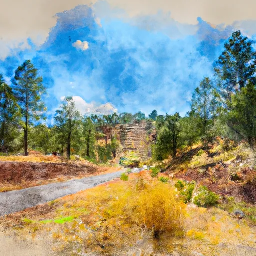
Located in Hidalgo, New Mexico, the Secho Detention Dam was completed in 1954 by the Bureau of Land Management to reduce flood risks in the area. The dam, designed as a Gravity type structure with a Stone core, stands at a hydraulic height of 12 feet and a structural height of 17 feet. With a normal storage capacity of 100 acre-feet and a drainage area of 2.97 square miles, the dam helps control the flow of the Railroad Wash stream, with a maximum discharge of 1382 cubic feet per second.
The Secho Detention Dam spans 925 feet in length and covers a surface area of 46 acres. Its uncontrolled spillway, measuring 2 feet in width, contributes to its low hazard potential and fair condition assessment. With a moderate risk rating of 3, the dam undergoes inspections every 5 years to ensure its continued effectiveness in flood management. While the dam lacks lock structures, its design and maintenance by the Bureau of Land Management highlight a commitment to protecting the surrounding area from potential water-related disasters.
Managed by federal agencies and funded by the Bureau of Land Management, the Secho Detention Dam serves as a vital tool in mitigating flood risks in Duncan, Arizona. As climate change continues to impact water resources, structures like the Secho Detention Dam play a crucial role in safeguarding communities and ecosystems from the growing threats of extreme weather events. Its strategic location and purposeful design make it a significant asset in the region's water resource management efforts, showcasing the importance of proactive infrastructure development in the face of a changing climate.
May 19, 2024
°F
°F
mph
Windspeed
%
Humidity
Explore the Interactive Map
View recreational hotspots like fishing, camping, and parks, alongside climate-related data such as river levels, snowpack, and weather forecasts. Enjoy 3D mapping for an immersive experience, and switch to satellite view for a detailed look at your favorite spots. Simply click, explore, and discover nature like never before!

You Might Like
Explore Nearby Places
Apache National Forest is located in the state of Arizona and is a popular tourist destination due to its natural beauty and recreational opportunities. The forest covers over 1.8 million acres and has a diverse range of landscapes, including mountains, rivers, and canyons. One of the best reasons to visit Apache National Forest is for the outdoor activities. The forest is home to numerous hiking trails, fishing spots, and campgrounds. Visitors can also go horseback riding, mountain biking, and wildlife watching. There are several points of interest within the forest that are worth visiting. The Alpine Ranger District is home ...