
Gulch Reservoir Reservoir Report
Nearby: Simms Reservoir Bryant Mt. Dam
Last Updated: December 24, 2025
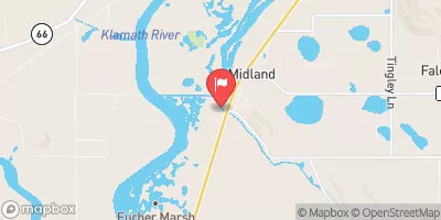
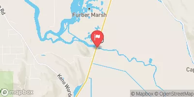
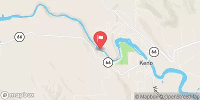
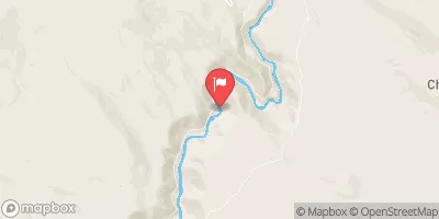
Gulch Reservoir, located in Klamath County, Oregon, is a local government-owned water storage facility primarily used for irrigation purposes.
°F
°F
mph
Wind
%
Humidity
Summary
Built in 1938, this earth dam structure has a height of 17 feet and a maximum storage capacity of 66 acre-feet. The reservoir covers an area of 11.5 acres and is fed by Bryant Mt. Gulch, providing water for agricultural activities in the region.
Managed by the Oregon Water Resources Department, Gulch Reservoir is regulated, permitted, inspected, and enforced by the state to ensure its safe operation. With a low hazard potential and a condition assessment of "Not Rated," the reservoir has a six-year inspection frequency to monitor its structural integrity and performance. The facility has not been modified in recent years and currently does not have an emergency action plan in place.
Although Gulch Reservoir may not be as large or well-known as other water storage facilities, its importance in supporting local irrigation needs and contributing to the region's water resource management cannot be understated. As climate change continues to impact water availability and quality, facilities like Gulch Reservoir play a crucial role in sustaining agricultural productivity and ensuring long-term water security for the community.
Year Completed |
1938 |
Dam Length |
600 |
Dam Height |
17 |
River Or Stream |
BRYANT MT. GULCH |
Primary Dam Type |
Earth |
Surface Area |
11.5 |
Hydraulic Height |
14 |
Drainage Area |
11.5 |
Nid Storage |
66 |
Structural Height |
17 |
Hazard Potential |
Low |
Nid Height |
17 |
Seasonal Comparison
Weather Forecast
Nearby Streamflow Levels
Dam Data Reference
Condition Assessment
SatisfactoryNo existing or potential dam safety deficiencies are recognized. Acceptable performance is expected under all loading conditions (static, hydrologic, seismic) in accordance with the minimum applicable state or federal regulatory criteria or tolerable risk guidelines.
Fair
No existing dam safety deficiencies are recognized for normal operating conditions. Rare or extreme hydrologic and/or seismic events may result in a dam safety deficiency. Risk may be in the range to take further action. Note: Rare or extreme event is defined by the regulatory agency based on their minimum
Poor A dam safety deficiency is recognized for normal operating conditions which may realistically occur. Remedial action is necessary. POOR may also be used when uncertainties exist as to critical analysis parameters which identify a potential dam safety deficiency. Investigations and studies are necessary.
Unsatisfactory
A dam safety deficiency is recognized that requires immediate or emergency remedial action for problem resolution.
Not Rated
The dam has not been inspected, is not under state or federal jurisdiction, or has been inspected but, for whatever reason, has not been rated.
Not Available
Dams for which the condition assessment is restricted to approved government users.
Hazard Potential Classification
HighDams assigned the high hazard potential classification are those where failure or mis-operation will probably cause loss of human life.
Significant
Dams assigned the significant hazard potential classification are those dams where failure or mis-operation results in no probable loss of human life but can cause economic loss, environment damage, disruption of lifeline facilities, or impact other concerns. Significant hazard potential classification dams are often located in predominantly rural or agricultural areas but could be in areas with population and significant infrastructure.
Low
Dams assigned the low hazard potential classification are those where failure or mis-operation results in no probable loss of human life and low economic and/or environmental losses. Losses are principally limited to the owner's property.
Undetermined
Dams for which a downstream hazard potential has not been designated or is not provided.
Not Available
Dams for which the downstream hazard potential is restricted to approved government users.
 Gulch Reservoir