
Paris Reservoir Report
Nearby: Little River Log Pond Updegrave
Last Updated: April 1, 2026
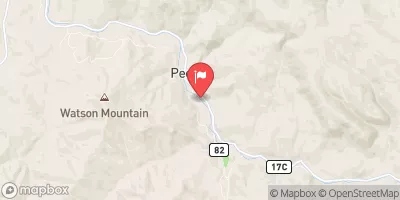
Paris, a private-owned dam in Douglas, Oregon, stands as a vital water resource for the region, serving multiple purposes such as hydroelectric power generation, irrigation, navigation, and recreation.
Summary
Completed in 1963, this earth-type dam boasts a structural height of 51 feet and a length of 500 feet, with a storage capacity of 130 acre-feet and a maximum discharge of 120 cubic feet per second. Despite its high hazard potential, the dam is currently in fair condition and undergoes regular inspections to ensure its safety and functionality.
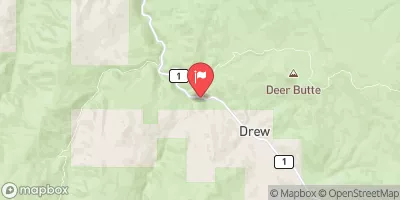
Situated in the Portland District, Paris Dam plays a crucial role in managing water resources in the area, with a drainage area of 0.25 square miles and a surface area of 5.7 acres. Its location in S12, T27.00S, R4.00W of WM, further highlights its significance in the region's water infrastructure. With state regulation and oversight from OWRD, the dam adheres to permitting, inspection, and enforcement guidelines to maintain its operations and safeguard against potential risks.
For water resource and climate enthusiasts, Paris Dam serves as a fascinating example of human intervention in managing water resources for multiple purposes. From hydroelectric power generation to recreational activities, the dam's presence underscores the intricate balance between harnessing water for human needs and protecting the environment. Through regular inspections, emergency preparedness, and risk management measures, Paris Dam stands as a testament to responsible water resource management in the face of changing climate conditions.
°F
°F
mph
Wind
%
Humidity
15-Day Weather Outlook
Year Completed |
1963 |
Dam Length |
500 |
Dam Height |
51 |
Primary Dam Type |
Earth |
Surface Area |
5.7 |
Hydraulic Height |
49 |
Drainage Area |
0.25 |
Nid Storage |
130 |
Structural Height |
51 |
Outlet Gates |
Needle |
Hazard Potential |
High |
Nid Height |
51 |
Seasonal Comparison
5-Day Hourly Forecast Detail
Nearby Streamflow Levels
 Little River At Peel
|
2120cfs |
 North Umpqua River At Winchester
|
1800cfs |
 South Umpqua River Near Brockway
|
760cfs |
 Steamboat Creek Near Glide
|
222cfs |
 South Umpqua River At Tiller
|
336cfs |
 Elk Creek Nr Drew
|
12cfs |
Dam Data Reference
Condition Assessment
SatisfactoryNo existing or potential dam safety deficiencies are recognized. Acceptable performance is expected under all loading conditions (static, hydrologic, seismic) in accordance with the minimum applicable state or federal regulatory criteria or tolerable risk guidelines.
Fair
No existing dam safety deficiencies are recognized for normal operating conditions. Rare or extreme hydrologic and/or seismic events may result in a dam safety deficiency. Risk may be in the range to take further action. Note: Rare or extreme event is defined by the regulatory agency based on their minimum
Poor A dam safety deficiency is recognized for normal operating conditions which may realistically occur. Remedial action is necessary. POOR may also be used when uncertainties exist as to critical analysis parameters which identify a potential dam safety deficiency. Investigations and studies are necessary.
Unsatisfactory
A dam safety deficiency is recognized that requires immediate or emergency remedial action for problem resolution.
Not Rated
The dam has not been inspected, is not under state or federal jurisdiction, or has been inspected but, for whatever reason, has not been rated.
Not Available
Dams for which the condition assessment is restricted to approved government users.
Hazard Potential Classification
HighDams assigned the high hazard potential classification are those where failure or mis-operation will probably cause loss of human life.
Significant
Dams assigned the significant hazard potential classification are those dams where failure or mis-operation results in no probable loss of human life but can cause economic loss, environment damage, disruption of lifeline facilities, or impact other concerns. Significant hazard potential classification dams are often located in predominantly rural or agricultural areas but could be in areas with population and significant infrastructure.
Low
Dams assigned the low hazard potential classification are those where failure or mis-operation results in no probable loss of human life and low economic and/or environmental losses. Losses are principally limited to the owner's property.
Undetermined
Dams for which a downstream hazard potential has not been designated or is not provided.
Not Available
Dams for which the downstream hazard potential is restricted to approved government users.
 Cavitt Creek Falls Recreation Site
 Cavitt Creek Falls - North Umpqua River RA
 Whistlers Bend County Park
 Wolf Creek Campground
 Susan Creek 3
 Susan Creek 4
 Paris
Paris
 Colliding Rivers
 Lone Rock Drift Boat Ramp