


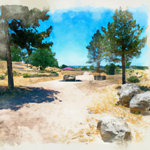
Mud Creek #1 Reservoir
Reservoir Levels • Weather • Hydrology
Mud Creek #1 Reservoir, located in Malheur, Oregon, is a gravity dam constructed in 1957 with a primary purpose of "Other." Managed by the Bureau of Land Management, this reservoir has a normal storage capacity of 102.8 acre-feet and a maximum storage of 354 acre-feet. The dam stands at a height of 10 feet with a length of 330 feet, creating a surface area of 39.9 acres and serving a drainage area of 2.33 square miles.
With a low hazard potential and a moderate risk assessment rating, Mud Creek #1 Reservoir is considered to be in good condition, though its condition assessment is labeled as "Not Rated." The spillway type is uncontrolled, with a width of 30 feet, and there are no outlet gates associated with the dam. Despite not being state regulated or inspected, the reservoir's emergency action plan status, inundation maps, and risk management measures are all listed as unknown, indicating potential areas for improvement in emergency preparedness and response.
Overall, Mud Creek #1 Reservoir provides a crucial water resource for the area, with its management falling under the jurisdiction of the Bureau of Land Management. As climate change continues to impact water resources and infrastructure, ensuring the safety and efficiency of dams like Mud Creek #1 Reservoir will be essential for maintaining water security and resilience in the region.
May 18, 2024
°F
°F
mph
Windspeed
%
Humidity
Explore the Interactive Map
View recreational hotspots like fishing, camping, and parks, alongside climate-related data such as river levels, snowpack, and weather forecasts. Enjoy 3D mapping for an immersive experience, and switch to satellite view for a detailed look at your favorite spots. Simply click, explore, and discover nature like never before!

You Might Like
Explore Nearby Places
Ontario State Recreation Site is located in the state of Idaho and is a popular destination for outdoor enthusiasts. Some good reasons to visit include the scenic beauty of the park, the variety of recreational activities available, and the opportunity to relax and unwind in a natural setting. Specific points of interest at the park include the Snake River, which runs through the area and provides opportunities for fishing, boating, and swimming. There are also hiking trails, picnic areas, and a playground for children. Interesting facts about the area include the fact that it was once home to the Shoshone ...