


Starvation Canyon
Reservoir Levels • Weather • Hydrology
Starvation Canyon is a crucial water supply dam located in Blanding, Utah, along Johnson Creek. Constructed in 1985, this earth dam stands at a structural height of 60 feet, with a hydraulic height of 54 feet. The dam has a storage capacity of 677 acre-feet, with a normal storage level of 500 acre-feet. It serves as a primary source of water for the local government, highlighting its vital role in the region's water resource management.
Managed by the Utah Division of Water Rights, Starvation Canyon Dam is regulated, inspected, and enforced to ensure its safety and functionality. Despite being classified as having a high hazard potential, the dam's condition assessment in 2012 rated it as fair. With a history of regular inspections and maintenance, the dam continues to provide reliable water storage and flood control benefits to the surrounding area, making it a significant asset for water resource and climate enthusiasts interested in sustainable water management practices.
In the event of emergencies, the dam's emergency action plan (EAP) status and readiness remain unclear, highlighting the importance of ongoing monitoring and preparedness measures. As a critical infrastructure within the Sacramento District of the US Army Corps of Engineers, Starvation Canyon Dam plays a key role in water supply operations and risk management in the region. With its strategic location and impact on the local water supply, the dam serves as a focal point for conservation efforts and climate resilience initiatives in the face of changing environmental conditions.
May 17, 2024
°F
°F
mph
Windspeed
%
Humidity
Explore the Interactive Map
View recreational hotspots like fishing, camping, and parks, alongside climate-related data such as river levels, snowpack, and weather forecasts. Enjoy 3D mapping for an immersive experience, and switch to satellite view for a detailed look at your favorite spots. Simply click, explore, and discover nature like never before!

You Might Like
Explore Nearby Places
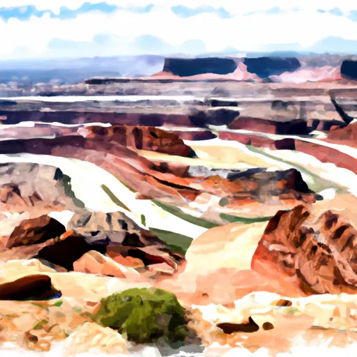
Dead Horse Point State Park is located in the state of Utah and is a popular tourist destination due to its stunning views and unique geological formations. The park is situated on a plateau overlooking the Colorado River and offers many hiking trails, scenic overlooks, and camping opportunities. One of the main reasons to visit Dead Horse Point State Park is to witness the breathtaking panoramic views of the surrounding canyon and mountains. Visitors can venture out on several hiking trails, including the popular Dead Horse Point Trail, which takes you along the edge of the canyon to a stunning ...