Hablutzel Dam Reservoir Report
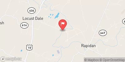
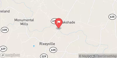
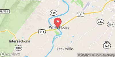
Nearby: Saxon Ford Dam Deep Run Farm Dam
Last Updated: December 24, 2025
Hablutzel Dam, located in Madison, Virginia, is a privately owned structure regulated by the Department of Conservation and Recreation.
°F
°F
mph
Wind
%
Humidity
Summary
With a primary purpose of irrigation, this Earth type dam stands at a height of 27.1 feet and has a storage capacity of 101 acre-feet. The dam, situated on the Robinson River, serves not only for irrigation but also for recreational purposes, providing a surface area of 7.9 acres for activities.
Despite its low hazard potential, Hablutzel Dam has not been rated for its condition as of the last inspection in October 2014. The dam, with a drainage area of 0.9 square miles, plays a crucial role in water resource management in the region. As climate change continues to impact water availability and quality, the maintenance and monitoring of dams like Hablutzel become increasingly important to ensure the sustainability of water resources and the protection of surrounding communities.
As water resource and climate enthusiasts, understanding the infrastructure and management of dams like Hablutzel is essential in addressing the challenges posed by a changing climate. Through proper regulation, inspection, and maintenance, these structures can continue to support irrigation, recreation, and water storage needs while mitigating potential risks and ensuring the resilience of water resources in the face of climate variability.
Dam Length |
275 |
Dam Height |
27.1 |
River Or Stream |
TR-Robinson River |
Primary Dam Type |
Earth |
Surface Area |
7.9 |
Hydraulic Height |
27.1 |
Drainage Area |
0.9 |
Nid Storage |
101 |
Structural Height |
27.1 |
Hazard Potential |
Low |
Nid Height |
27 |
Seasonal Comparison
Weather Forecast
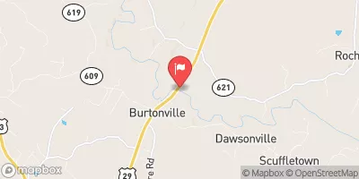
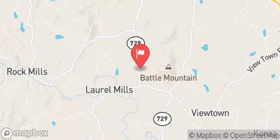
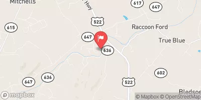
Nearby Streamflow Levels
Dam Data Reference
Condition Assessment
SatisfactoryNo existing or potential dam safety deficiencies are recognized. Acceptable performance is expected under all loading conditions (static, hydrologic, seismic) in accordance with the minimum applicable state or federal regulatory criteria or tolerable risk guidelines.
Fair
No existing dam safety deficiencies are recognized for normal operating conditions. Rare or extreme hydrologic and/or seismic events may result in a dam safety deficiency. Risk may be in the range to take further action. Note: Rare or extreme event is defined by the regulatory agency based on their minimum
Poor A dam safety deficiency is recognized for normal operating conditions which may realistically occur. Remedial action is necessary. POOR may also be used when uncertainties exist as to critical analysis parameters which identify a potential dam safety deficiency. Investigations and studies are necessary.
Unsatisfactory
A dam safety deficiency is recognized that requires immediate or emergency remedial action for problem resolution.
Not Rated
The dam has not been inspected, is not under state or federal jurisdiction, or has been inspected but, for whatever reason, has not been rated.
Not Available
Dams for which the condition assessment is restricted to approved government users.
Hazard Potential Classification
HighDams assigned the high hazard potential classification are those where failure or mis-operation will probably cause loss of human life.
Significant
Dams assigned the significant hazard potential classification are those dams where failure or mis-operation results in no probable loss of human life but can cause economic loss, environment damage, disruption of lifeline facilities, or impact other concerns. Significant hazard potential classification dams are often located in predominantly rural or agricultural areas but could be in areas with population and significant infrastructure.
Low
Dams assigned the low hazard potential classification are those where failure or mis-operation results in no probable loss of human life and low economic and/or environmental losses. Losses are principally limited to the owner's property.
Undetermined
Dams for which a downstream hazard potential has not been designated or is not provided.
Not Available
Dams for which the downstream hazard potential is restricted to approved government users.

 Hablutzel Dam