
Stone Bridge Reservoir Report
Nearby: Farrel Woodcock Site 2
Last Updated: December 24, 2025
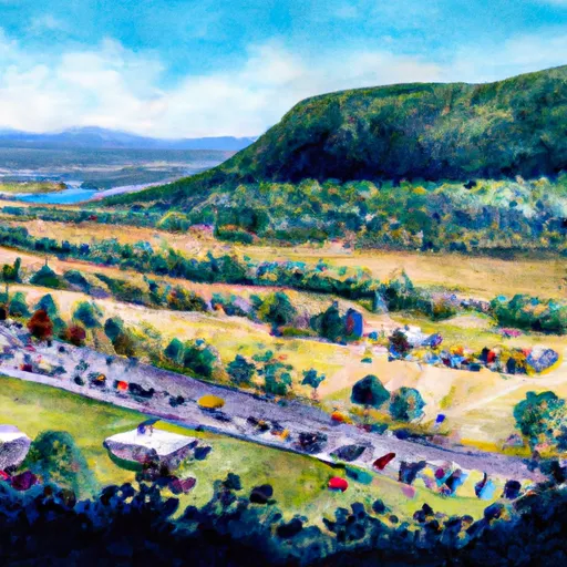
Stone Bridge, located in Panton, Vermont, is a state-regulated dam designed by Haley & Ward and completed in 1957.
°F
°F
mph
Wind
%
Humidity
Summary
The dam, built for Fish and Wildlife Pond purposes, stands at a height of 13 feet and is primarily made of earth with stone core types. With a storage capacity of 3700 acre-feet and a surface area of 441 acres, Stone Bridge plays a crucial role in managing water resources for Dead Creek, with a drainage area of 50 square miles.
Despite its low hazard potential, Stone Bridge has not been rated for its condition assessment since its last inspection in 2004. The dam, with a hydraulic height of 11 feet and a length of 970 feet, serves as a vital structure for recreation and wildlife conservation in the area. While the dam's emergency action plan status and risk assessment measures remain unclear, its role in maintaining water levels and supporting the ecosystem of Dead Creek underscores its significance for water resource and climate enthusiasts in the region.
Year Completed |
1957 |
Dam Length |
970 |
Dam Height |
11 |
River Or Stream |
DEAD CREEK |
Primary Dam Type |
Earth |
Surface Area |
441 |
Hydraulic Height |
11 |
Drainage Area |
50 |
Nid Storage |
3700 |
Structural Height |
13 |
Hazard Potential |
Low |
Foundations |
Soil |
Nid Height |
13 |
Seasonal Comparison
Weather Forecast
Nearby Streamflow Levels
Dam Data Reference
Condition Assessment
SatisfactoryNo existing or potential dam safety deficiencies are recognized. Acceptable performance is expected under all loading conditions (static, hydrologic, seismic) in accordance with the minimum applicable state or federal regulatory criteria or tolerable risk guidelines.
Fair
No existing dam safety deficiencies are recognized for normal operating conditions. Rare or extreme hydrologic and/or seismic events may result in a dam safety deficiency. Risk may be in the range to take further action. Note: Rare or extreme event is defined by the regulatory agency based on their minimum
Poor A dam safety deficiency is recognized for normal operating conditions which may realistically occur. Remedial action is necessary. POOR may also be used when uncertainties exist as to critical analysis parameters which identify a potential dam safety deficiency. Investigations and studies are necessary.
Unsatisfactory
A dam safety deficiency is recognized that requires immediate or emergency remedial action for problem resolution.
Not Rated
The dam has not been inspected, is not under state or federal jurisdiction, or has been inspected but, for whatever reason, has not been rated.
Not Available
Dams for which the condition assessment is restricted to approved government users.
Hazard Potential Classification
HighDams assigned the high hazard potential classification are those where failure or mis-operation will probably cause loss of human life.
Significant
Dams assigned the significant hazard potential classification are those dams where failure or mis-operation results in no probable loss of human life but can cause economic loss, environment damage, disruption of lifeline facilities, or impact other concerns. Significant hazard potential classification dams are often located in predominantly rural or agricultural areas but could be in areas with population and significant infrastructure.
Low
Dams assigned the low hazard potential classification are those where failure or mis-operation results in no probable loss of human life and low economic and/or environmental losses. Losses are principally limited to the owner's property.
Undetermined
Dams for which a downstream hazard potential has not been designated or is not provided.
Not Available
Dams for which the downstream hazard potential is restricted to approved government users.
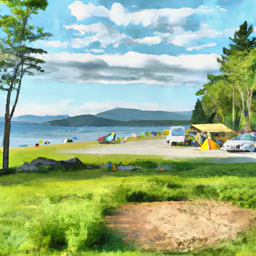
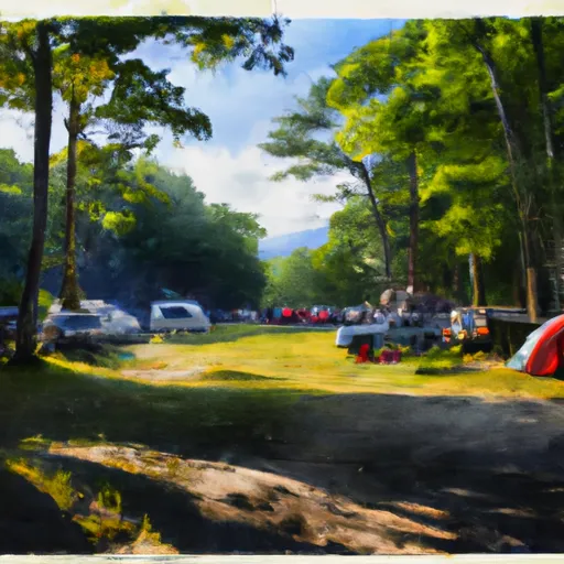
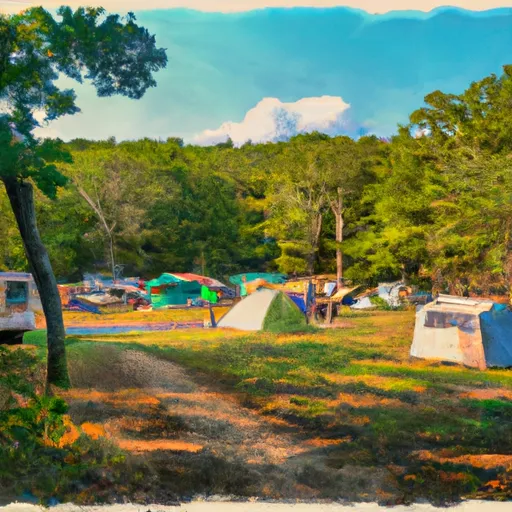
Area Campgrounds
| Location | Reservations | Toilets |
|---|---|---|
 Button Bay State Park
|
||
 DAR State Park
|
||
 D.A.R State Park
|
||
 Port Henry Village Campground
|
||
 Crown Point - DEC
|
||
 Bulwagga Bay Campground
|
 Stone Bridge
 VT 17 Addison