
WELCOME
Snoflo is the ultimate platform for outdoor enthusiasts and climate-conscious individuals. We offer climate data, weather forecasts, and the best recreation spots nearby. Explore more, impact less with Snoflo. Learn More.


South Fork No. 35
Reservoir Levels • Weather • Hydrology
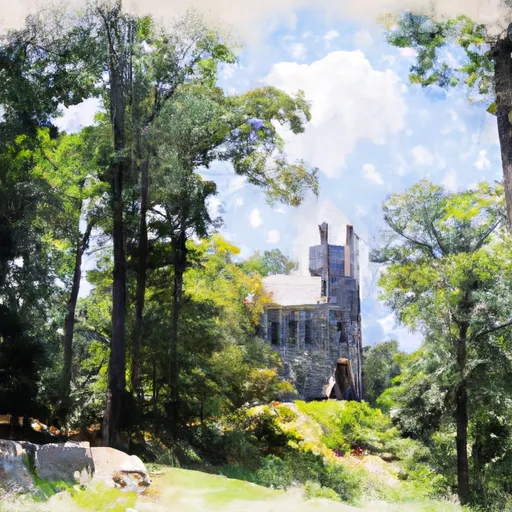
South Fork No. 35, located in Sugar Grove, West Virginia, is a vital flood risk reduction structure managed by the Natural Resources Conservation Service. Built in 1968, this earth dam stands at a height of 65.3 feet and has a maximum storage capacity of 169 acre-feet, with a normal storage of 11 acre-feet. The dam spans 415 feet in length and covers a surface area of 7.9 acres along the South Fork river.
With a high hazard potential and fair condition assessment, South Fork No. 35 is regularly inspected every two years to ensure its structural integrity and safety. The dam features an uncontrolled spillway and outlet gates, with a maximum discharge capacity of 3594 cubic feet per second. While the risk assessment for this dam is moderate, the surrounding area is closely monitored to mitigate any potential threats and manage the overall risk posed by the structure. For water resource and climate enthusiasts, South Fork No. 35 serves as a significant piece of infrastructure in the ongoing efforts to protect communities from flooding events in the region.
May 16, 2024
°
°
mph
Windspeed
%
Humidity
Explore the Interactive Map
View recreational hotspots like fishing, camping, and parks, alongside climate-related data such as river levels, snowpack, and weather forecasts. Enjoy 3D mapping for an immersive experience, and switch to satellite view for a detailed look at your favorite spots. Simply click, explore, and discover nature like never before!

You Might Like
Explore Nearby Places
Cathedral State Park, located in Garrett County, Maryland, is a popular destination for nature enthusiasts and hikers. The park is characterized by its tall hemlock trees, which are some of the largest in the eastern United States. One of the main attractions in the park is the 31-acre virgin hemlock forest, which is over 300 years old. Visitors can take a scenic hike through the forest and marvel at the towering trees. The park also features several hiking trails, including the 2.2-mile Hemlock Trail, which offers stunning views of the surrounding mountains. In addition to hiking, Cathedral State Park is ...