


Allison Street Levee (Mt. Ranier) Reservoir Report
Last Updated: May 1, 2026
°F
°F
mph
Wind
%
Humidity
The Allison Street Levee in Mt.
Summary
Rainier, Maryland, also known as the 34th Street Bridge or Arundel Canal, is a crucial structure owned by the local government for flood risk reduction along the Northwest Branch-TR river or stream. The levee was designed by Gannett Fleming in 1988 and proposed for an upgrade by McCormick Taylor in 2015. It stands at a height of 15 feet and has a length of 7065 feet, with a spillway type of controlled to manage water flow effectively.
This earth dam is regulated by the Maryland Dam Safety agency and undergoes regular inspections and enforcement to ensure its structural integrity and functionality. The levee has a fair condition assessment as of April 2021, with a high hazard potential due to its location and purpose. The risk assessment for the Allison Street Levee is very high, emphasizing the importance of continued monitoring and management measures to protect the surrounding area from potential flooding events.
Despite its age, the Allison Street Levee plays a critical role in safeguarding Prince George's County, Maryland, and the city of Mt. Rainier from flood risks. As water resource and climate enthusiasts, understanding the significance and maintenance of structures like the Allison Street Levee is essential for preserving the local environment and preventing potential disasters.
Regional Streamflow Levels


15-Day Long Term Forecast
Years Modified |
2018 - Hydraulic |
Year Completed |
1988 |
Dam Length |
7065 |
Dam Height |
15 |
River Or Stream |
Northwest Branch-TR |
Primary Dam Type |
Earth |
Hazard Potential |
High |
Foundations |
Unlisted/Unknown |
Nid Height |
15 |
Seasonal Comparison
5-Day Hourly Forecast Detail
Dam Data Reference
Condition Assessment
SatisfactoryNo existing or potential dam safety deficiencies are recognized. Acceptable performance is expected under all loading conditions (static, hydrologic, seismic) in accordance with the minimum applicable state or federal regulatory criteria or tolerable risk guidelines.
Fair
No existing dam safety deficiencies are recognized for normal operating conditions. Rare or extreme hydrologic and/or seismic events may result in a dam safety deficiency. Risk may be in the range to take further action. Note: Rare or extreme event is defined by the regulatory agency based on their minimum
Poor A dam safety deficiency is recognized for normal operating conditions which may realistically occur. Remedial action is necessary. POOR may also be used when uncertainties exist as to critical analysis parameters which identify a potential dam safety deficiency. Investigations and studies are necessary.
Unsatisfactory
A dam safety deficiency is recognized that requires immediate or emergency remedial action for problem resolution.
Not Rated
The dam has not been inspected, is not under state or federal jurisdiction, or has been inspected but, for whatever reason, has not been rated.
Not Available
Dams for which the condition assessment is restricted to approved government users.
Hazard Potential Classification
HighDams assigned the high hazard potential classification are those where failure or mis-operation will probably cause loss of human life.
Significant
Dams assigned the significant hazard potential classification are those dams where failure or mis-operation results in no probable loss of human life but can cause economic loss, environment damage, disruption of lifeline facilities, or impact other concerns. Significant hazard potential classification dams are often located in predominantly rural or agricultural areas but could be in areas with population and significant infrastructure.
Low
Dams assigned the low hazard potential classification are those where failure or mis-operation results in no probable loss of human life and low economic and/or environmental losses. Losses are principally limited to the owner's property.
Undetermined
Dams for which a downstream hazard potential has not been designated or is not provided.
Not Available
Dams for which the downstream hazard potential is restricted to approved government users.
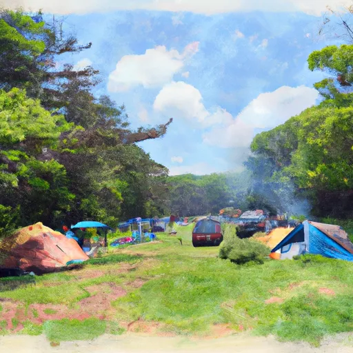
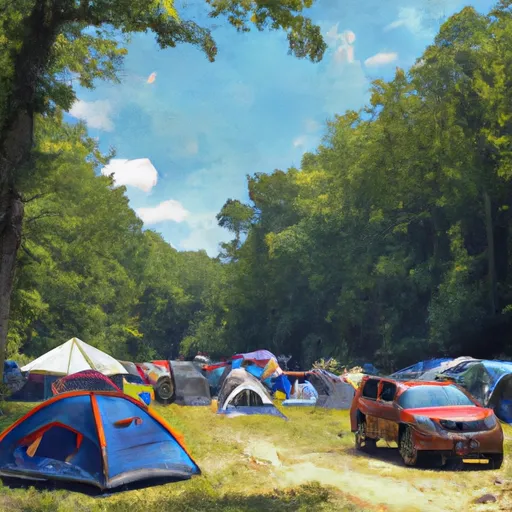
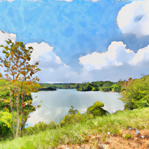
Area Campgrounds
| Location | Reservations | Toilets |
|---|---|---|
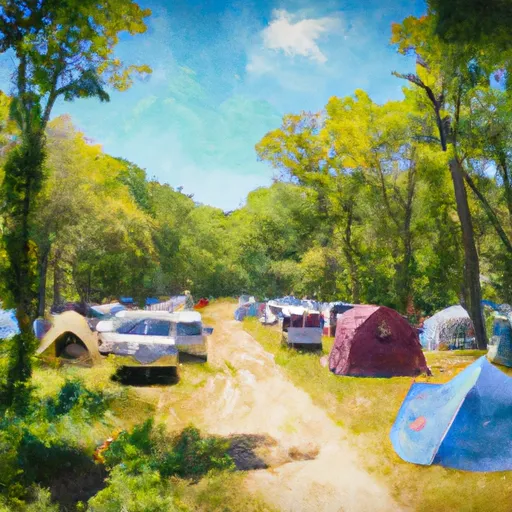 Camp Loop D
|
||
 Camp Loop C
|
||
 Camp Loop B
|
||
 Camp Loop A
|
||
 Greenbelt Park
|
||
 Andrews AFB Military
|
 Atkisson Reservoir Near Bel Air
 Anacostia Park Boat Ramp
 Watts Branch
 Kingman Lake
 McMillan Reservoir
 Lake Artemesia
 Piney Run