
Mcgee Dam Reservoir Report
Nearby: Crawford Dam Amelia County Dam # 13
Last Updated: December 6, 2025
Mcgee Dam, located in Powhatan, Virginia, is privately owned and regulated by the Department of Conservation and Recreation.
°F
°F
mph
Wind
%
Humidity
Summary
Standing at a height of 21 feet with a length of 430 feet, the dam provides a maximum storage capacity of 81.73 acre-feet and a normal storage capacity of 63.36 acre-feet. With a surface area of 8.8 acres, the dam plays a crucial role in water resource management in the region.
Although the hazard potential of Mcgee Dam is currently undetermined and its condition has not been rated, it is inspected regularly with a frequency of once per year. The Emergency Action Plan (EAP) status and risk assessment measures for the dam are not available, highlighting the need for ongoing monitoring and assessment to ensure the safety and functionality of the structure. As a key component of the local water infrastructure, Mcgee Dam serves as a vital resource for water supply, flood control, and environmental protection in the area.
With its strategic location and significant storage capacity, Mcgee Dam plays a crucial role in water resource management in Powhatan, Virginia. As efforts continue to assess and monitor its condition and safety measures, the dam remains a critical asset for ensuring water security and environmental resilience in the region. Climate and water resource enthusiasts can appreciate the importance of structures like Mcgee Dam in safeguarding water supplies and mitigating potential risks associated with extreme weather events and changing climate patterns.
Dam Length |
430 |
Dam Height |
21 |
Surface Area |
8.8 |
Hydraulic Height |
21 |
Nid Storage |
81.73 |
Structural Height |
21 |
Hazard Potential |
Undetermined |
Nid Height |
21 |
Seasonal Comparison
Weather Forecast
Nearby Streamflow Levels
 Appomattox River At Mattoax
|
309cfs |
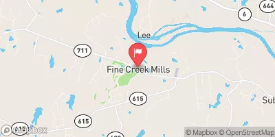 Fine Creek At Fine Creek Mills
|
3cfs |
 Deep Creek Near Mannboro
|
96cfs |
 James River And Kanawha Canal Near Richmond
|
131cfs |
 James River Near Richmond
|
1810cfs |
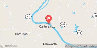 James River At Cartersville
|
2090cfs |
Dam Data Reference
Condition Assessment
SatisfactoryNo existing or potential dam safety deficiencies are recognized. Acceptable performance is expected under all loading conditions (static, hydrologic, seismic) in accordance with the minimum applicable state or federal regulatory criteria or tolerable risk guidelines.
Fair
No existing dam safety deficiencies are recognized for normal operating conditions. Rare or extreme hydrologic and/or seismic events may result in a dam safety deficiency. Risk may be in the range to take further action. Note: Rare or extreme event is defined by the regulatory agency based on their minimum
Poor A dam safety deficiency is recognized for normal operating conditions which may realistically occur. Remedial action is necessary. POOR may also be used when uncertainties exist as to critical analysis parameters which identify a potential dam safety deficiency. Investigations and studies are necessary.
Unsatisfactory
A dam safety deficiency is recognized that requires immediate or emergency remedial action for problem resolution.
Not Rated
The dam has not been inspected, is not under state or federal jurisdiction, or has been inspected but, for whatever reason, has not been rated.
Not Available
Dams for which the condition assessment is restricted to approved government users.
Hazard Potential Classification
HighDams assigned the high hazard potential classification are those where failure or mis-operation will probably cause loss of human life.
Significant
Dams assigned the significant hazard potential classification are those dams where failure or mis-operation results in no probable loss of human life but can cause economic loss, environment damage, disruption of lifeline facilities, or impact other concerns. Significant hazard potential classification dams are often located in predominantly rural or agricultural areas but could be in areas with population and significant infrastructure.
Low
Dams assigned the low hazard potential classification are those where failure or mis-operation results in no probable loss of human life and low economic and/or environmental losses. Losses are principally limited to the owner's property.
Undetermined
Dams for which a downstream hazard potential has not been designated or is not provided.
Not Available
Dams for which the downstream hazard potential is restricted to approved government users.
 Mcgee Dam
 Mill Quarter Road 1384, Powhatan