Dworshak Dam

Dworshak Dam
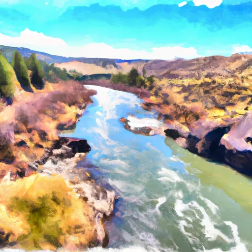
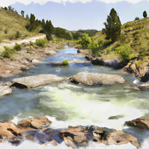
Dworshak Dam, located in Idaho along the North Fork Clearwater River, is a concrete gravity dam completed in 1973 by the US Army Corps of Engineers. The primary purpose of this federal-owned dam is flood risk reduction, but it also serves various other purposes such as fish and wildlife pond, hydroelectric power generation, navigation, recreation, and water supply. With a structural height of 717 feet and a storage capacity of 3,560,000 acre-feet, the dam plays a crucial role in managing water levels and mitigating flood risks in the region.
The dam's controlled spillway, with a width of 100 feet, helps regulate water flow during high-discharge events. Dworshak Dam has a very high hazard potential and is subject to regular inspections and risk assessments. The US Army Corps of Engineers actively manages dam-related flood risks by monitoring the dam's condition, implementing risk reduction measures, and updating emergency action plans. The agency collaborates with local emergency managers and stakeholders to ensure preparedness for any potential dam-related emergencies, emphasizing the importance of public awareness and proactive response strategies.
In the event of severe weather or unpredictable water inflows, the dam may release water to maintain structural integrity and prevent downstream flooding. With a focus on continual maintenance, risk management, and community engagement, Dworshak Dam exemplifies the critical role of infrastructure in water resource management and climate resilience efforts.
Plan around the weather
Same NOAA / yr.no feed Snoflo's iOS app uses. Watch the precipitation column on the meteogram -- rain on the basin upstream typically lifts inflow 24-72 hours later.
Next 5 days, hour by hour
Temperature line with weather symbols on top, snow + rain accumulation as columns, humidity as a dotted line.
5-day forecast table
Every 3 hours, broken out across temperature, snow, rain, humidity, and wind. Each cell is colour-coded relative to the column min/max.
| Time | Condition | Temp (°F) | Snow (in) | Rain (in) | Humidity (%) | Wind (mps) | Wind dir |
|---|---|---|---|---|---|---|---|
| Loading detailed forecast… | |||||||
15-day temperature & precipitation
Daily temperatures, snow, and rain projected over the next two weeks.
Nearby streamflow gauges
USGS streamgauges around Dworshak Dam -- inflows here typically show up in storage 24-72 hours later.
| Streamgauge | Discharge | View |
|---|---|---|
| Clearwater River At Orofino Id | 2,630 cfs | → |
| Clearwater River Nr Peck Id | 11,300 cfs | → |
| Big Canyon Creek Nr Peck Id | 4 cfs | → |
| Lolo Creek Nr Greer Id | 257 cfs | → |
| Potlatch River Bel Little Potlatch Cr Nr Spalding | 4 cfs | → |
| Lapwai Creek Nr Lapwai Id | 7 cfs | → |
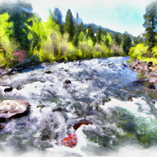
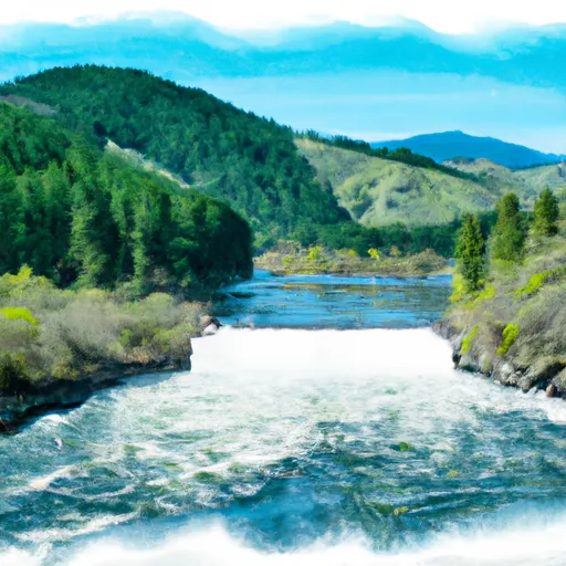
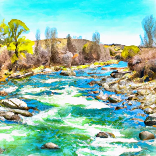
Make a day of it
Boat launches, lakeside camping, fishing access, and other reservoirs near Dworshak Dam.
Boat launches
See all →


Campgrounds
See all →


Fishing spots
See all →
River runs
See all →
About Dworshak Dam
Where does the data for Dworshak Dam come from?
Structural and regulatory data come from the U.S. Army Corps of Engineers' National Inventory of Dams (NID). Weather forecast comes from NOAA / yr.no -- the same feed Snoflo's iOS app uses.
How often is the report updated?
NID structural data refreshes annually as the Corps publishes updated assessments. The weather forecast refreshes throughout the day.
What does the High hazard rating mean?
The Corps of Engineers' hazard potential classification grades probable consequences if the dam fails: High = probable loss of human life; Significant = no probable loss of human life but possible economic loss / environmental damage; Low = no probable loss of human life, only minor economic / environmental losses. See the Dam Data Reference card below for the full definitions.
What's "% of normal"?
The current storage value compared to the historical average storage on this calendar day. 100% = right on average; values above 100% mean above-normal storage (wet year); values below mean below-normal (dry year or drought).
Can I get alerts when storage crosses a threshold?
Yes -- alerts are managed in the Snoflo iOS app. Favorite this dam, set a threshold, and you'll get a push the moment conditions cross.
Dam data reference
Condition Assessment
- Satisfactory
- No existing or potential dam safety deficiencies are recognized. Acceptable performance is expected under all loading conditions (static, hydrologic, seismic) in accordance with the minimum applicable state or federal regulatory criteria or tolerable risk guidelines.
- Fair
- No existing dam safety deficiencies are recognized for normal operating conditions. Rare or extreme hydrologic and/or seismic events may result in a dam safety deficiency. Risk may be in the range to take further action.
- Poor
- A dam safety deficiency is recognized for normal operating conditions which may realistically occur. Remedial action is necessary. POOR may also be used when uncertainties exist as to critical analysis parameters which identify a potential dam safety deficiency.
- Unsatisfactory
- A dam safety deficiency is recognized that requires immediate or emergency remedial action for problem resolution.
- Not Rated
- The dam has not been inspected, is not under state or federal jurisdiction, or has been inspected but, for whatever reason, has not been rated.
Hazard Potential Classification
- High
- Dams assigned the high hazard potential classification are those where failure or mis-operation will probably cause loss of human life.
- Significant
- Dams assigned the significant hazard potential classification are those dams where failure or mis-operation results in no probable loss of human life but can cause economic loss, environmental damage, disruption of lifeline facilities, or impact other concerns. Significant hazard potential classification dams are often located in predominantly rural or agricultural areas but could be in areas with population and significant infrastructure.
- Low
- Dams assigned the low hazard potential classification are those where failure or mis-operation results in no probable loss of human life and low economic and/or environmental losses. Losses are principally limited to the owner's property.
- Undetermined
- Dams for which a downstream hazard potential has not been designated or is not provided.