Priest Lake At Outlet Nr Coolin Id Reservoir
As of July 17, 2026, Priest Lake At Outlet Nr Coolin Id is holding 4 ft of water — 99% of normal storage for this date. Storage data refreshed throughout the day.

Priest Lake At Outlet Nr Coolin Id
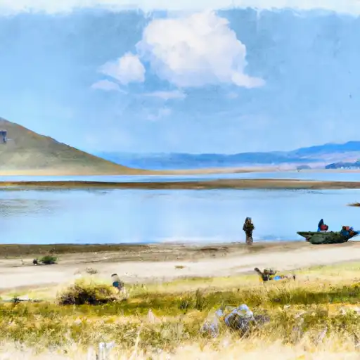
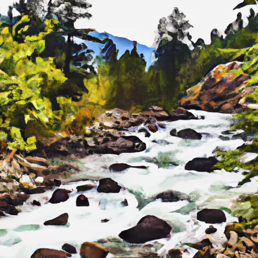
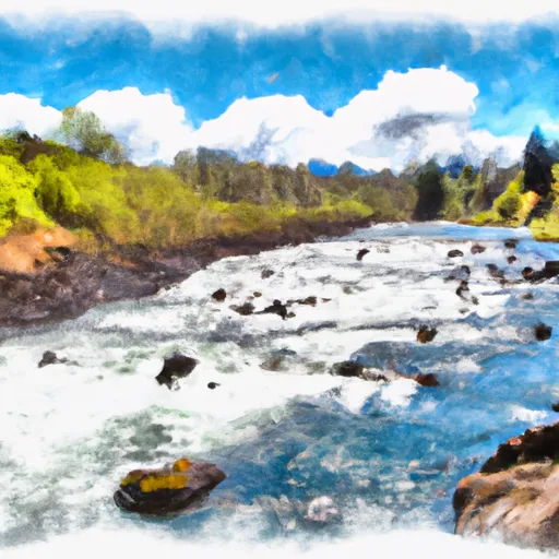
Priest Lake is a natural lake situated in Bonner County, Idaho, near the town of Coolin. The lake is fed by a combination of stream inflow, snowmelt, and groundwater. It is surrounded by mountains and forests, making it a popular destination for outdoor recreational activities, including skiing, hiking, and fishing. The lake has a rich history, as it was originally used by Native American tribes for hunting and fishing. Later, it became a popular spot for logging and milling operations. Today, the lake is used for both agricultural and recreational purposes. The Priest Lake snowpack is an important source of water for irrigation and hydropower generation in the region. The lake is also a popular tourist destination, attracting visitors from across the country.
Daily levels at Priest Lake At Outlet Nr Coolin Id
Storage volume, pool elevation, and total release plotted from the operating agency's daily observations.
Gage height, ft
ft · code 00065
Plan around the weather
Same NOAA / yr.no feed Snoflo's iOS app uses. Watch the precipitation column on the meteogram -- rain on the basin upstream typically lifts inflow 24-72 hours later.
Next 5 days, hour by hour
Temperature line with weather symbols on top, snow + rain accumulation as columns, humidity as a dotted line.
5-day forecast table
Every 3 hours, broken out across temperature, snow, rain, humidity, and wind. Each cell is colour-coded relative to the column min/max.
| Time | Condition | Temp (°F) | Snow (in) | Rain (in) | Humidity (%) | Wind (mps) | Wind dir |
|---|---|---|---|---|---|---|---|
| Loading detailed forecast… | |||||||
15-day temperature & precipitation
Daily temperatures, snow, and rain projected over the next two weeks.
Nearby streamflow gauges
USGS streamgauges around Priest Lake At Outlet Nr Coolin Id -- inflows here typically show up in storage 24-72 hours later.
| Streamgauge | Discharge | View |
|---|---|---|
| Priest R Outflow Nr Coolin | 216 cfs | → |
| Pack River Nr Colburn Id | 610 cfs | → |
| Priest River Nr Priest River Id | 346 cfs | → |
| Pend Oreille River At Newport Wa | 23,000 cfs | → |
| Kootenai River @ Tribal Hatchery Nr Bonners Ferry | 15,700 cfs | → |
| Outlet Creek Near Metaline Falls | 19 cfs | → |
Make a day of it
Boat launches, lakeside camping, fishing access, and other reservoirs near Priest Lake At Outlet Nr Coolin Id.
Boat launches
See all →


Campgrounds
See all →


Fishing spots
See all →
River runs
See all →

More reservoirs
See all →About Priest Lake At Outlet Nr Coolin Id
Where does the data for Priest Lake At Outlet Nr Coolin Id come from?
Daily storage, pool elevation, and release rates are sourced from USGS, USBR, and USACE monitoring stations. Weather forecast comes from NOAA / yr.no -- the same feed Snoflo's iOS app uses.
How often is the report updated?
Storage observations are updated daily by the operating agency. The 15-day weather forecast refreshes throughout the day. Snoflo caches and renders the most recent observation -- check the "as of" timestamp on the storage card.
What does the Hazard hazard rating mean?
The Corps of Engineers' hazard potential classification grades probable consequences if the dam fails: High = probable loss of human life; Significant = no probable loss of human life but possible economic loss / environmental damage; Low = no probable loss of human life, only minor economic / environmental losses. See the Dam Data Reference card below for the full definitions.
What's "% of normal"?
The current storage value compared to the historical average storage on this calendar day. 100% = right on average; values above 100% mean above-normal storage (wet year); values below mean below-normal (dry year or drought).
Can I get alerts when storage crosses a threshold?
Yes -- alerts are managed in the Snoflo iOS app. Favorite this reservoir, set a threshold, and you'll get a push the moment conditions cross.