


Lower Paint Reservoir Report
Last Updated: April 23, 2026
Nearby: Peavy Falls Michigamme Falls
°F
°F
mph
Wind
%
Humidity
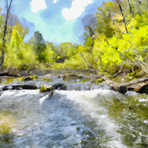
Lower Paint is a hydroelectric dam located in Iron, Michigan, along the Paint Branch river.
Summary
Built in 1952, this concrete structure stands at a height of 23.1 feet and has a maximum storage capacity of 3,846 acre-feet. With a normal storage capacity of 2,513 acre-feet, Lower Paint serves not only for hydroelectric power generation but also as a recreational area covering a surface area of 340 acres.
Managed by the Federal Energy Regulatory Commission, Lower Paint boasts a controlled spillway with a width of 231 feet and three Tainter radial gates for water release. Despite its low hazard potential, the dam's risk assessment is classified as very high (1). The surrounding area and downstream regions benefit from its regulated discharge of up to 11,900 cubic feet per second, ensuring water resource management in the region.
Lower Paint is a vital infrastructure in Florence, Michigan, contributing to both renewable energy production and outdoor activities. As a captivating site for water resource and climate enthusiasts, this dam stands as a testament to sustainable development and responsible water management practices within the region.
Regional Streamflow Levels
 Paint River Nr Alpha
|
2150cfs |
 Brule River At Us Highway 2 Near Florence
|
934cfs |
 Brule River Near Commonwealth
|
3110cfs |
 Menominee River Near Florence
|
8860cfs |
 Michigamme River Near Crystal Falls
|
5150cfs |
 Pine River Below Pine R Powerplant Nr Florence
|
1890cfs |
15-Day Long Term Forecast
Year Completed |
1952 |
Dam Length |
616 |
Dam Height |
23.1 |
River Or Stream |
Paint Branch |
Primary Dam Type |
Concrete |
Surface Area |
340 |
Hydraulic Height |
16.5 |
Drainage Area |
665 |
Nid Storage |
3846 |
Structural Height |
27.6 |
Outlet Gates |
Tainter (radial) - 3 |
Hazard Potential |
Low |
Nid Height |
28 |
Seasonal Comparison
5-Day Hourly Forecast Detail
Dam Data Reference
Condition Assessment
SatisfactoryNo existing or potential dam safety deficiencies are recognized. Acceptable performance is expected under all loading conditions (static, hydrologic, seismic) in accordance with the minimum applicable state or federal regulatory criteria or tolerable risk guidelines.
Fair
No existing dam safety deficiencies are recognized for normal operating conditions. Rare or extreme hydrologic and/or seismic events may result in a dam safety deficiency. Risk may be in the range to take further action. Note: Rare or extreme event is defined by the regulatory agency based on their minimum
Poor A dam safety deficiency is recognized for normal operating conditions which may realistically occur. Remedial action is necessary. POOR may also be used when uncertainties exist as to critical analysis parameters which identify a potential dam safety deficiency. Investigations and studies are necessary.
Unsatisfactory
A dam safety deficiency is recognized that requires immediate or emergency remedial action for problem resolution.
Not Rated
The dam has not been inspected, is not under state or federal jurisdiction, or has been inspected but, for whatever reason, has not been rated.
Not Available
Dams for which the condition assessment is restricted to approved government users.
Hazard Potential Classification
HighDams assigned the high hazard potential classification are those where failure or mis-operation will probably cause loss of human life.
Significant
Dams assigned the significant hazard potential classification are those dams where failure or mis-operation results in no probable loss of human life but can cause economic loss, environment damage, disruption of lifeline facilities, or impact other concerns. Significant hazard potential classification dams are often located in predominantly rural or agricultural areas but could be in areas with population and significant infrastructure.
Low
Dams assigned the low hazard potential classification are those where failure or mis-operation results in no probable loss of human life and low economic and/or environmental losses. Losses are principally limited to the owner's property.
Undetermined
Dams for which a downstream hazard potential has not been designated or is not provided.
Not Available
Dams for which the downstream hazard potential is restricted to approved government users.
Area Campgrounds
| Location | Reservations | Toilets |
|---|---|---|
 Glidden Lake State Forest Campground
|
||
 Paint River Hills Campground
|
||
 Lake Ellen Camp
|
||
 Pentoga Park (Iron County Park)
|
 Lake Mary Road Mastodon Township
 Mainstem, Easternforest Boundary In Sec 1, T44N, R35W To City Of Crystal Falls
 Brule Lake In Ne1/4 Sec 15, T41N, R13E To Forest Boundary In Se1/4 Sec 31, T41N, R17E