Hamilton Lake At Hamilton Reservoir Report
Last Updated: February 21, 2026
Hamilton Lake in Indiana was created in 1837 as a result of a dam being built on the headwaters of the Wabash River.
Summary
The lake covers 800 acres and has an average depth of 25 feet. It is supplied by a combination of surface flow and snowpack from the surrounding area. The lake is a popular destination for recreational activities such as swimming, boating, and fishing. Agricultural uses include irrigation for nearby crops. In recent years, a focus has been put on improving the water quality of the lake through measures such as controlling nutrient runoff from surrounding farms. The lake is also home to a variety of wildlife, including fish, waterfowl, and turtles.
°F
°F
mph
Wind
%
Humidity
15-Day Weather Outlook
Reservoir Details
| Gage Height, Ft 24hr Change | None% |
| Percent of Normal | None% |
| Minimum |
7.13 ft
2011-10-13 |
| Maximum |
9.72 ft
2009-03-12 |
| Average | 9 ft |
| Dam_Height | 16 |
| Hydraulic_Height | 16 |
| Drainage_Area | 16.5 |
| Year_Completed | 1832 |
| Nid_Storage | 18000 |
| Structural_Height | 16 |
| Surface_Area | 755.39 |
| Outlet_Gates | None |
| River_Or_Stream | FISH CREEK |
| Dam_Length | 104 |
| Hazard_Potential | High |
| Primary_Dam_Type | Earth |
| Nid_Height | 16 |
Seasonal Comparison
Gage Height, Ft Levels
5-Day Hourly Forecast Detail
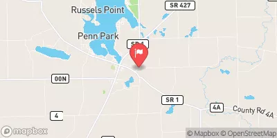
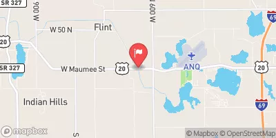
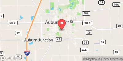
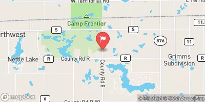
Nearby Streamflow Levels
Dam Data Reference
Condition Assessment
SatisfactoryNo existing or potential dam safety deficiencies are recognized. Acceptable performance is expected under all loading conditions (static, hydrologic, seismic) in accordance with the minimum applicable state or federal regulatory criteria or tolerable risk guidelines.
Fair
No existing dam safety deficiencies are recognized for normal operating conditions. Rare or extreme hydrologic and/or seismic events may result in a dam safety deficiency. Risk may be in the range to take further action. Note: Rare or extreme event is defined by the regulatory agency based on their minimum
Poor A dam safety deficiency is recognized for normal operating conditions which may realistically occur. Remedial action is necessary. POOR may also be used when uncertainties exist as to critical analysis parameters which identify a potential dam safety deficiency. Investigations and studies are necessary.
Unsatisfactory
A dam safety deficiency is recognized that requires immediate or emergency remedial action for problem resolution.
Not Rated
The dam has not been inspected, is not under state or federal jurisdiction, or has been inspected but, for whatever reason, has not been rated.
Not Available
Dams for which the condition assessment is restricted to approved government users.
Hazard Potential Classification
HighDams assigned the high hazard potential classification are those where failure or mis-operation will probably cause loss of human life.
Significant
Dams assigned the significant hazard potential classification are those dams where failure or mis-operation results in no probable loss of human life but can cause economic loss, environment damage, disruption of lifeline facilities, or impact other concerns. Significant hazard potential classification dams are often located in predominantly rural or agricultural areas but could be in areas with population and significant infrastructure.
Low
Dams assigned the low hazard potential classification are those where failure or mis-operation results in no probable loss of human life and low economic and/or environmental losses. Losses are principally limited to the owner's property.
Undetermined
Dams for which a downstream hazard potential has not been designated or is not provided.
Not Available
Dams for which the downstream hazard potential is restricted to approved government users.


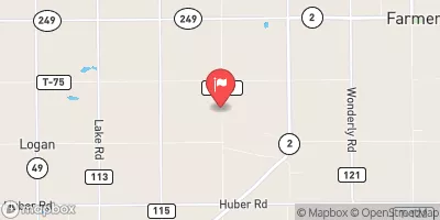
 Hamilton Lake-North Dam
 Hamilton Lake At Hamilton